HUB
Collections
Classifications
About
App
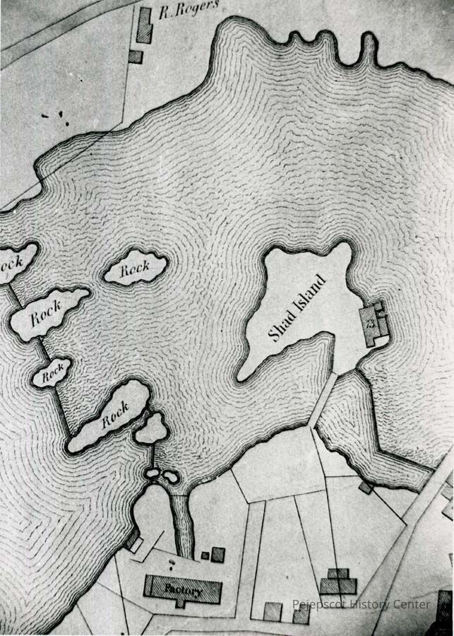
Section of a 1846 map
Photograph
-
Pejepscot History Center
Section of a 1846 map
Origformat: Print-Photographic
Name/Title
Section of a 1846 map
Entry/Object ID
1992.39.14
Description
A B/W photograph of a portion of the 1846 map showing Shad Island and the factory on it.
Collection
Found On-hand
Lexicon
Nomenclature 4.0
Nomenclature Secondary Object Term
Print, Photographic
Nomenclature Primary Object Term
Photograph
Nomenclature Sub-Class
Graphic Documents
Nomenclature Class
Documentary Objects
Nomenclature Category
Category 08: Communication Objects
Search Terms
Shad Island,
Maps,
1846 map detail