Name/Title
Historical Atlas of Lanark & Renfrew Counties, OntarioEntry/Object ID
973.2.1Description
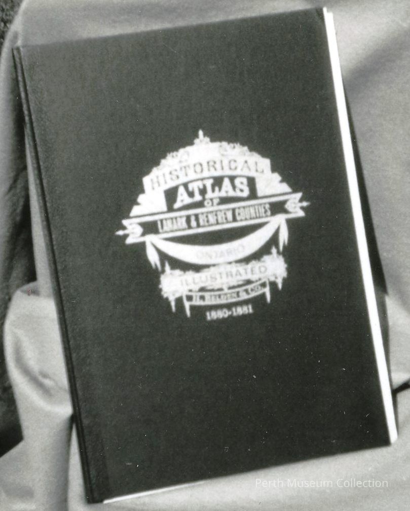
This book(Atlas) is bound in black cloth hardcover with "Historical Atlas of Lanark and Renfrew Counties, Ontario, illustrated H. Belden & Co. 1880-1881," stamped in gold on the front cover. The original was published by D.P. Putnam, Prescott, C.W. 1863. This reprint edition was printed in 1972 by Richardson, Bond & Wright Ltd., Owen Sound.
It contains all the material to be found in the original, including maps, pictures of the subscribers and their properties, typically "Country Atlas" in style. The pages have been loosened from the binding.
The information below was taken of the internet in 2018:
https://ogs.on.ca/shop/illustrated-historical-atlas-of-the-counties-of-lanark-and-renfrew/
H. Belden & Co. 1880-1881; Cumming Atlas Reprint 1972
Size: 31cm x 46cm
The Illustrated Historical Atlases of the Ontario counties were originally published between 1874 and 1881. In all, 32 atlases were published covering 40 Ontario counties between them. They describe the history of the given county and map the land including concession and lot numbers as well as the names of the landowners at the time. Many of them also include contemporary name and business directories. These original atlases were published by five different companies and would be very rare finds today.