Name/Title
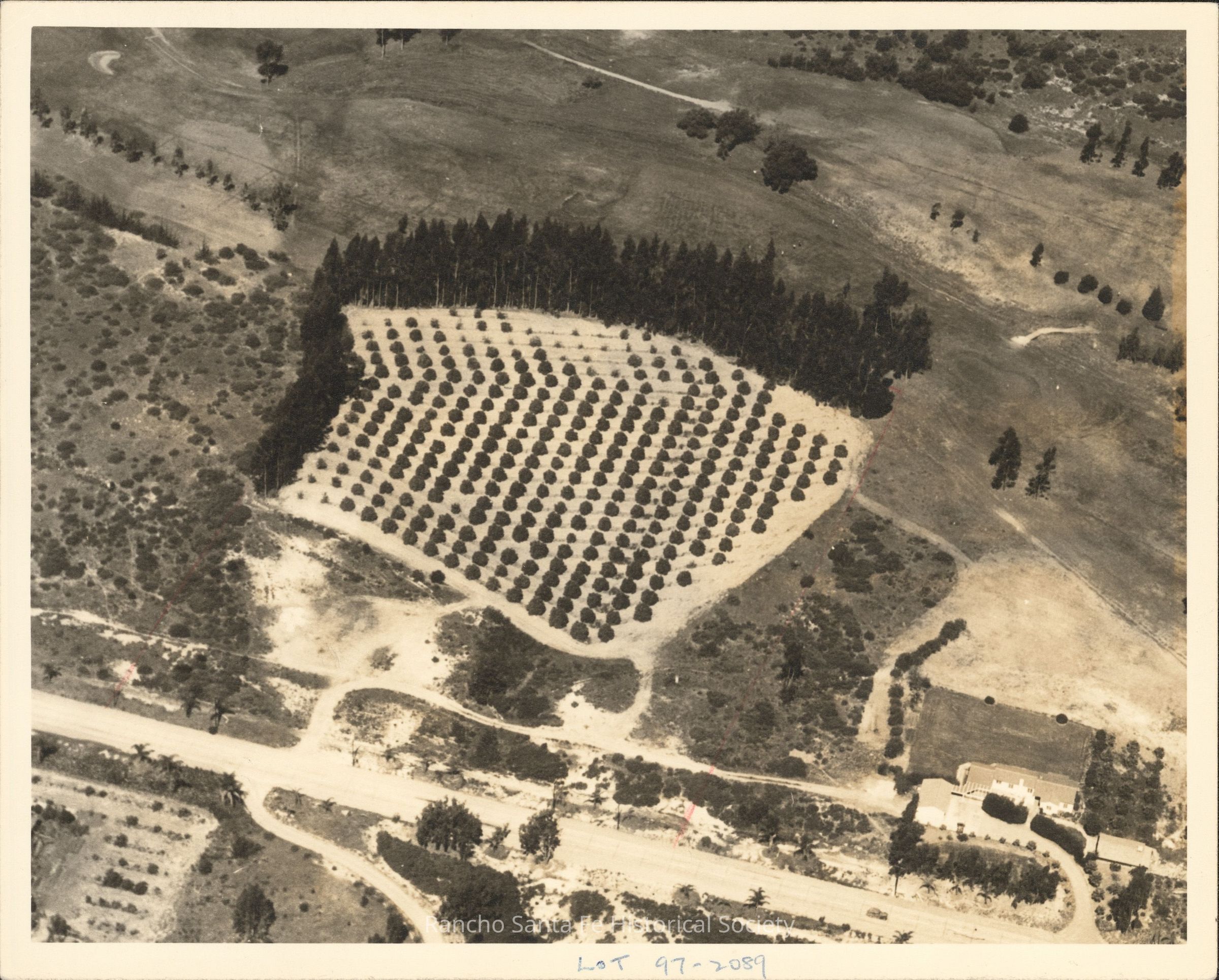
Aerial view of orchard and surrounding agricultural property in Rancho Santa FeEntry/Object ID
2026.015.089Description
Black-and-white aerial photograph depicting an agricultural property with a cultivated orchard in Rancho Santa Fe, California. The central portion of the photograph features a large, approximately rectangular orchard containing evenly spaced rows of trees, bordered along two sides by a dense stand of taller trees. Surrounding the orchard are open fields, undeveloped hillsides, scattered vegetation, and dirt access roads. A broad roadway extends across the lower portion of the photograph, with a landscaped residential property and several buildings visible near the lower right corner. Additional agricultural plantings and winding roads extend across the surrounding terrain. A handwritten annotation along the lower border reads "Lot 97–2089." The photograph documents orchard cultivation, agricultural land use, and rural property development in Rancho Santa Fe.Collection
Landscape and Aerial PhotographsDimensions
Dimension Description
8 x 10 inchRelationships
Related Places
Place
Neighborhood
Rancho Santa FeCounty
San Diego CountyState/Province
CaliforniaCountry
The United States of AmericaContinent
North America