Name/Title
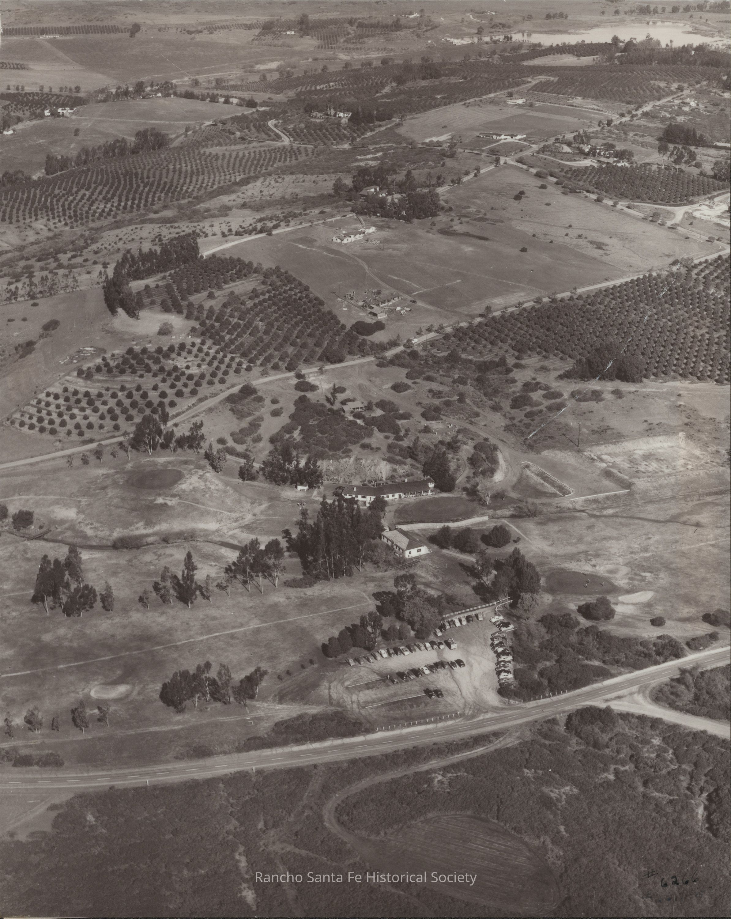
Aerial view of Rancho Santa Fe Golf Course, clubhouse, and surrounding agricultural landscape, circa 1950–1970Entry/Object ID
2026.015.094Description
Black-and-white aerial photograph depicting the Rancho Santa Fe Golf Course and surrounding agricultural landscape in Rancho Santa Fe, California, circa 1950–1970. The view shows the golf course clubhouse and associated buildings surrounded by mature trees, landscaped grounds, fairways, and sand bunkers. A parking lot containing numerous automobiles is visible near the lower right portion of the photograph, adjacent to a paved roadway extending across the foreground. Beyond the golf course, extensive orchards planted in regularly spaced rows cover the surrounding hillsides and agricultural properties. Winding roads, scattered residences, open fields, and additional cultivated areas extend across the landscape. The photograph documents the golf course's recreational facilities, surrounding agricultural land use, and residential development in Rancho Santa Fe.Collection
Landscape and Aerial Photographs, Rancho Santa Fe Golf ClubMade/Created
Date made
circa 1950 - circa 1970Dimensions
Dimension Description
10 x 12 inchRelationships
Related Person or Organization
Person or Organization
Rancho Santa Fe Golf ClubRelated Places
Place
Neighborhood
Rancho Santa FeCounty
San Diego CountyState/Province
CaliforniaCountry
The United States of AmericaContinent
North America