Name/Title
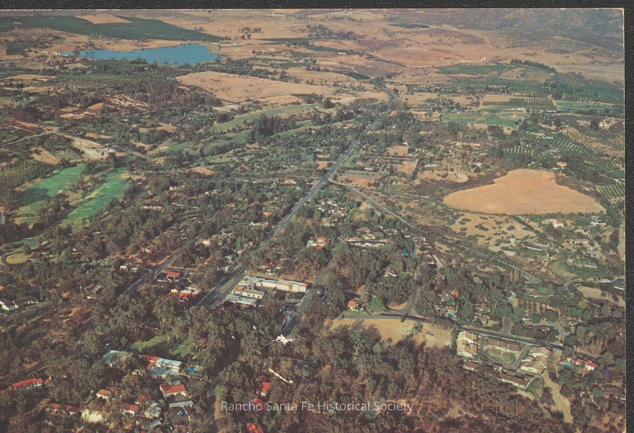
Postcard aerial view of Rancho Santa Fe with the Inn and golf course, circa 1950-1969Entry/Object ID
2026.010.208Description
Color postcard showing an aerial view of Rancho Santa Fe, including residential areas, roads, open land, agricultural fields, a body of water, and portions of the golf course. Printed text on the back reads, “Beautiful Rancho Santa Fe, California, in north San Diego County. In the foreground is the Inn and to the left is a partial view of the golf course.” The back identifies Amescolor Publisher, 1310 S. Escondido Blvd., Escondido, California, bears the number “45853,” and has the legacy notation “PH 527.”Collection
Early Rancho Santa Fe Village Construction and Development PhotographsPostcard Details
Publisher
Amescolor PublishersDate Published
circa 1950 - circa 1969Dimensions
Dimension Description
5.5 x 3.5 inch