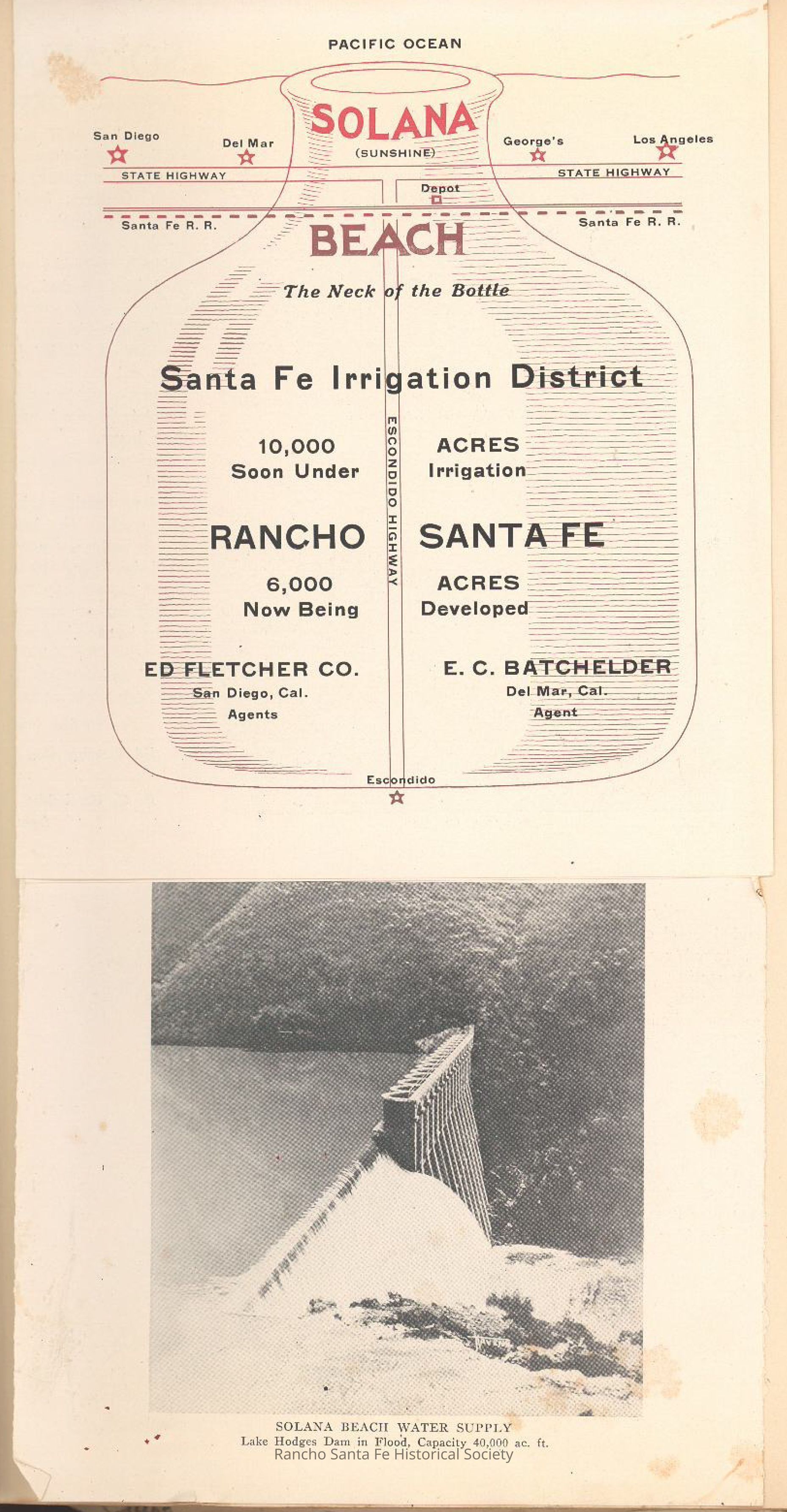
Promotional map and illustration of Rancho Santa Fe and Solana Beach irrigation and development, 1923
Entry/Object ID
2014.003.006
Collection
Rancho Santa Fe Advertisments
Archive Items Details
Title
Promotional map and illustration of Rancho Santa Fe and Solana Beach irrigation and development, 1923
Description
Single-page promotional map and illustration depicting Rancho Santa Fe and Solana Beach within the Santa Fe Irrigation District. The graphic emphasizes acreage under irrigation and development, proximity to the Pacific Ocean, and water supply infrastructure sourced from Lake Hodges Dam, including a photographic view of the dam during flood conditions. The item identifies Ed Fletcher Company as sales agents and visually promotes the developments as investment and residential opportunities supported by irrigation capacity. Handwritten annotations appear on the facing scrapbook page referencing Rancho Santa Fe agreements and the pamphlet’s publication context.