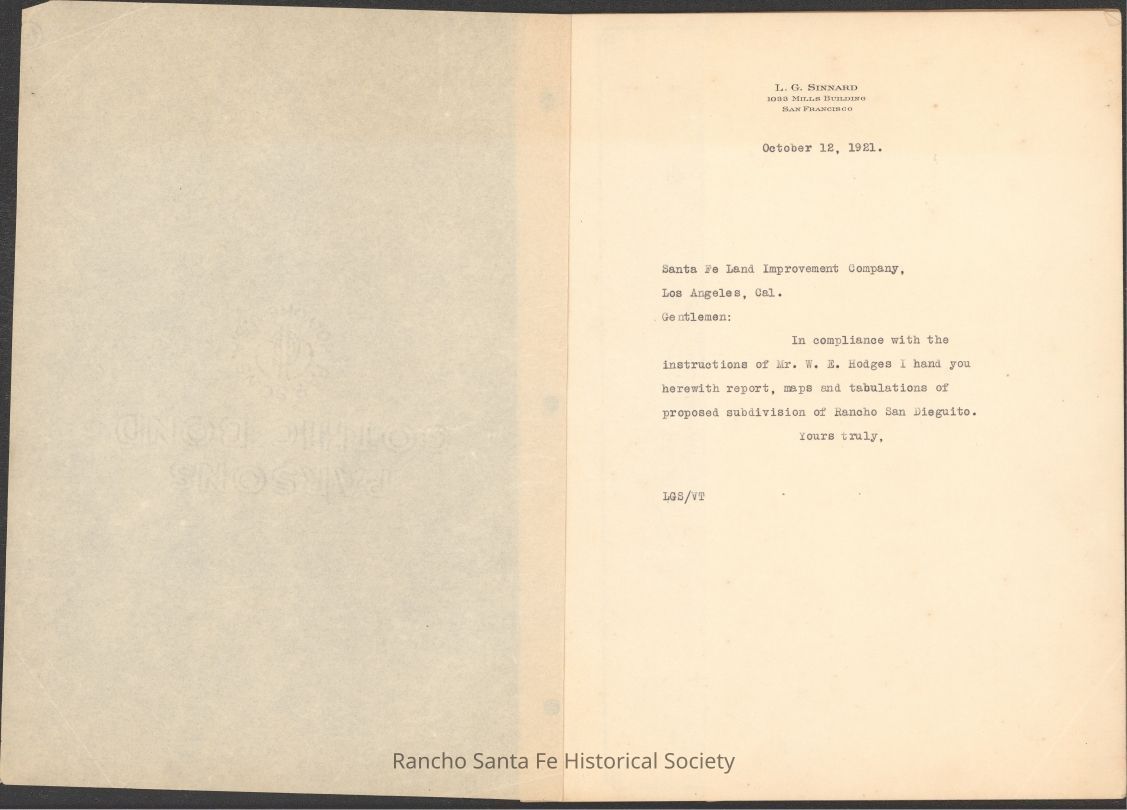
Report, Maps, and Tabulations for Proposed Subdivision of Rancho San Dieguito, 1921

Name/Title

Report, Maps, and Tabulations for Proposed Subdivision of Rancho San Dieguito, 1921

Entry/Object ID

2026.003.002

Context

The first known report on the planning and subdivision of Rancho San Dieguito, soon thereafter renamed to Rancho Santa Fe

Collection

Santa Fe Land Improvement Company Records

Archive Details

Archive Size/Extent

12 pages

Archive Items Details

Title

Report, Maps, and Tabulations for Proposed Subdivision of Rancho San Dieguito, 1921

Description

Report transmitted to the Santa Fe Land Improvement Company presenting maps, tabulations, and narrative analysis related to the proposed subdivision and development of Rancho San Dieguito in San Diego County, California. The document outlines preliminary and field-based survey work addressing land classification, irrigation systems, nonarable areas, subdivision units, road layouts, civic center planning, and projected development features, and discusses the suitability of the property for intensive horticultural use and residential development. The report incorporates acreage calculations, cost estimates, infrastructure considerations, and planning assumptions prepared in coordination with engineering offices and supplemental surveys conducted in 1921.

Creator

Sinnard, Leone.G.

Date(s) of Creation

Oct 12, 1921

Dimensions

Dimension Description

8.5 x 11 inch

Condition

Notes

Page 8 is detached and mounted to cardboard. Document is missing pages 9 through 40 according to the table of contents.

Relationships

Related Person or Organization

Person or Organization

Sinnard, Leone.G.

Person or Organization

Santa Fe Land Improvement Company

Person or Organization

Hodges, Walter E.

Person or Organization

Lippincott, J. B.

Person or Organization

Richards, C. H.

Related Places

Place

* Untyped Place

Rancho San Dieguito

County

San Diego County

State/Province

California

Country

The United States of America

Continent

North America