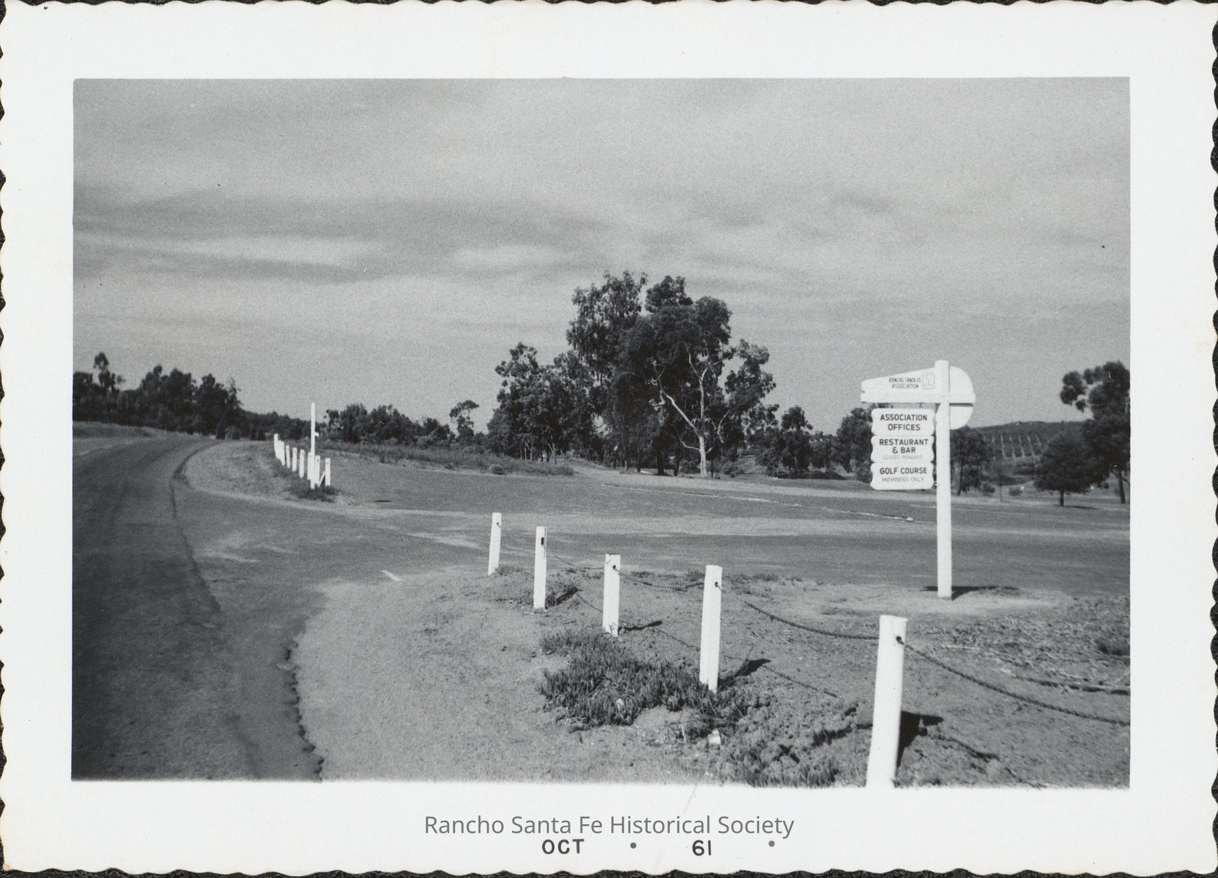
Roadway and Rancho Santa Fe Association directional sign, October 1961
Entry/Object ID
2026.010.183
Description
Photograph showing a roadway and surrounding open grounds in Rancho Santa Fe in October 1961. A roadside directional sign identifies the Rancho Santa Fe Association and provides directions to the Association offices, restaurant and bar, and golf course. White roadside posts, mature trees, and landscaped terrain are visible throughout the view. The print is dated “Oct 61.”
Photograph Details
Subject Place
Neighborhood
Rancho Santa Fe
County
San Diego County
State/Province
California
Country
The United States of America
Continent
North America
Collection
Early Rancho Santa Fe Village Construction and Development Photographs