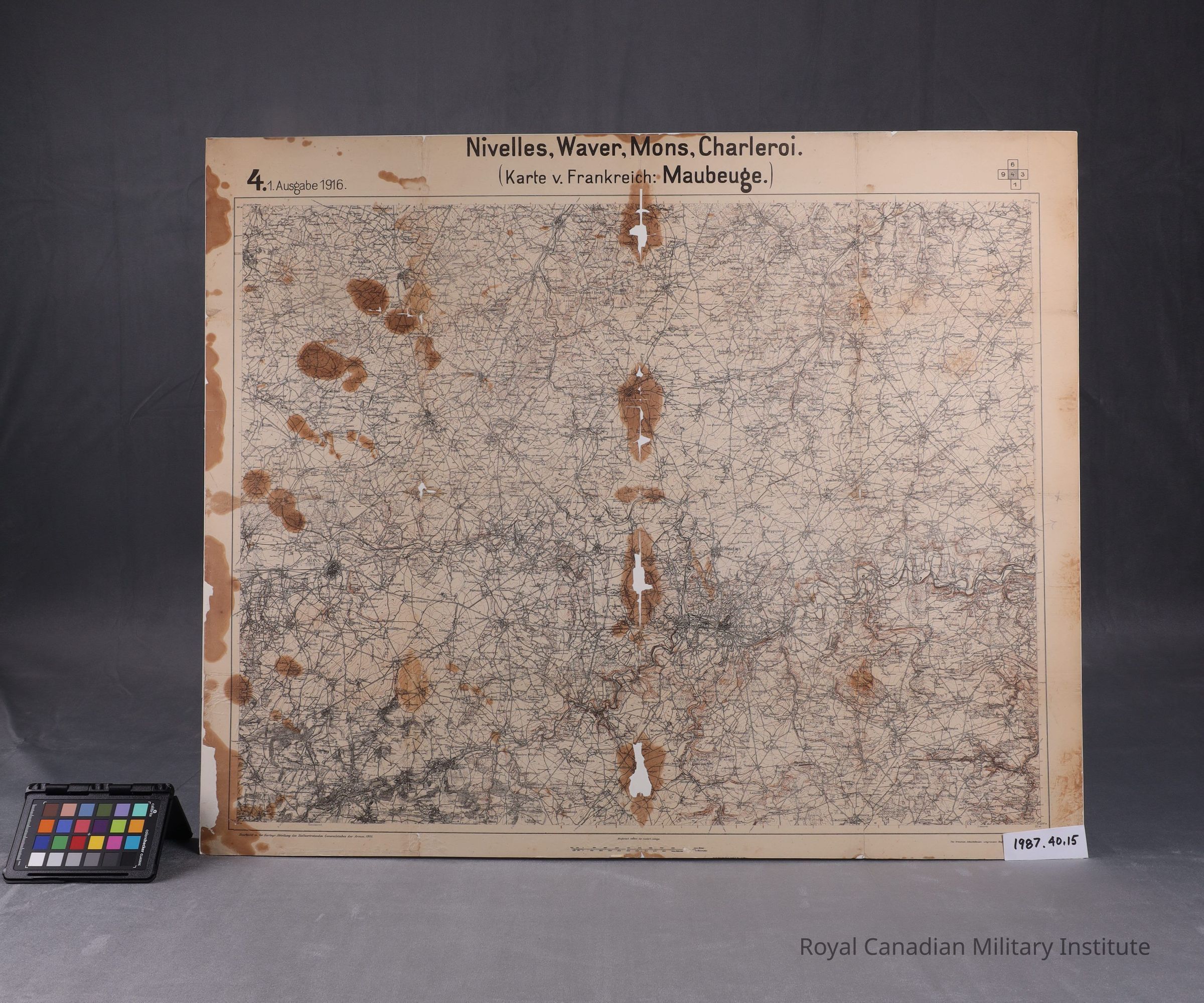
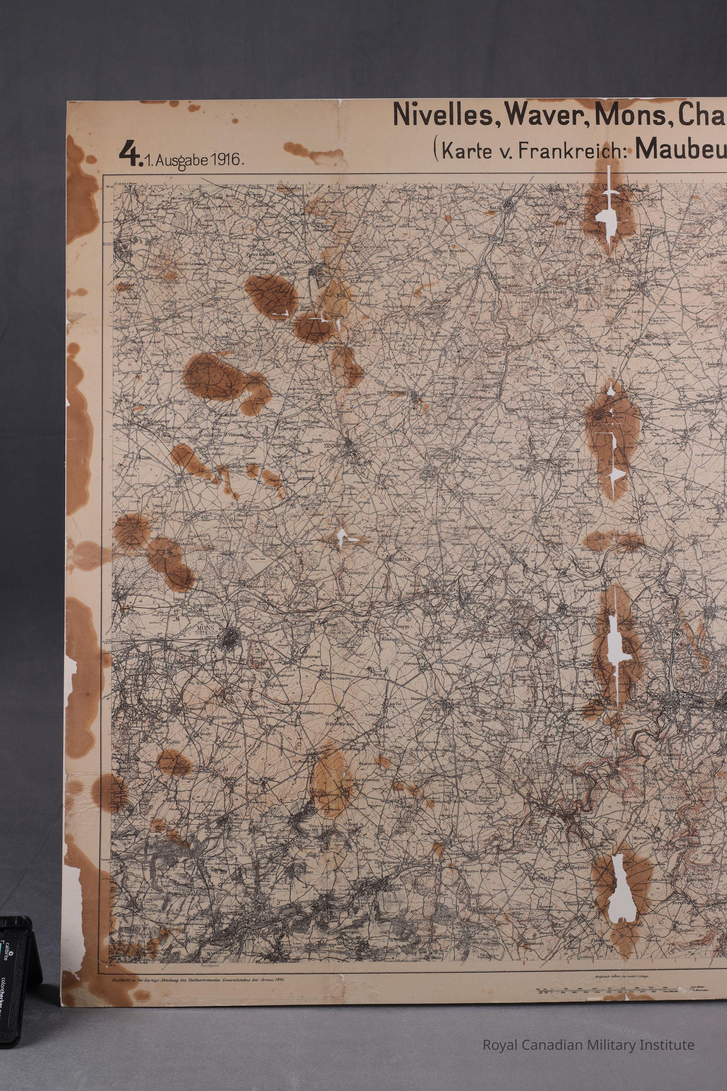
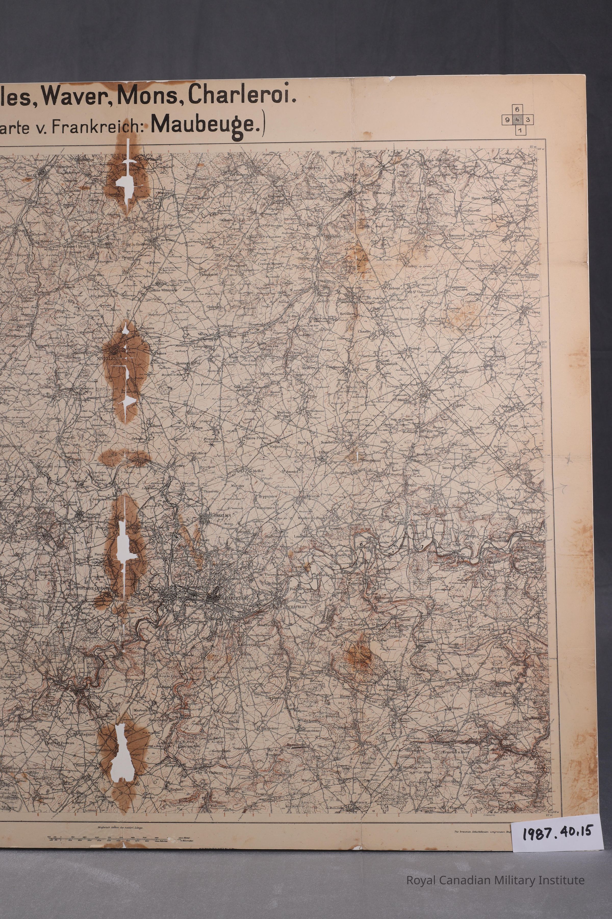
1916 German Army map "Nivelles, Waver, Mons, Charleroi."
Use
Medium scale (1:100,000) map of occupied German territory MONS, showing roads, buildings, wooded areas, contours (10 meter gradation). This is panel 4 of a five panel grid map: 9-6-3-1
Context
Made by German General Staff cartographers to map once-French territory