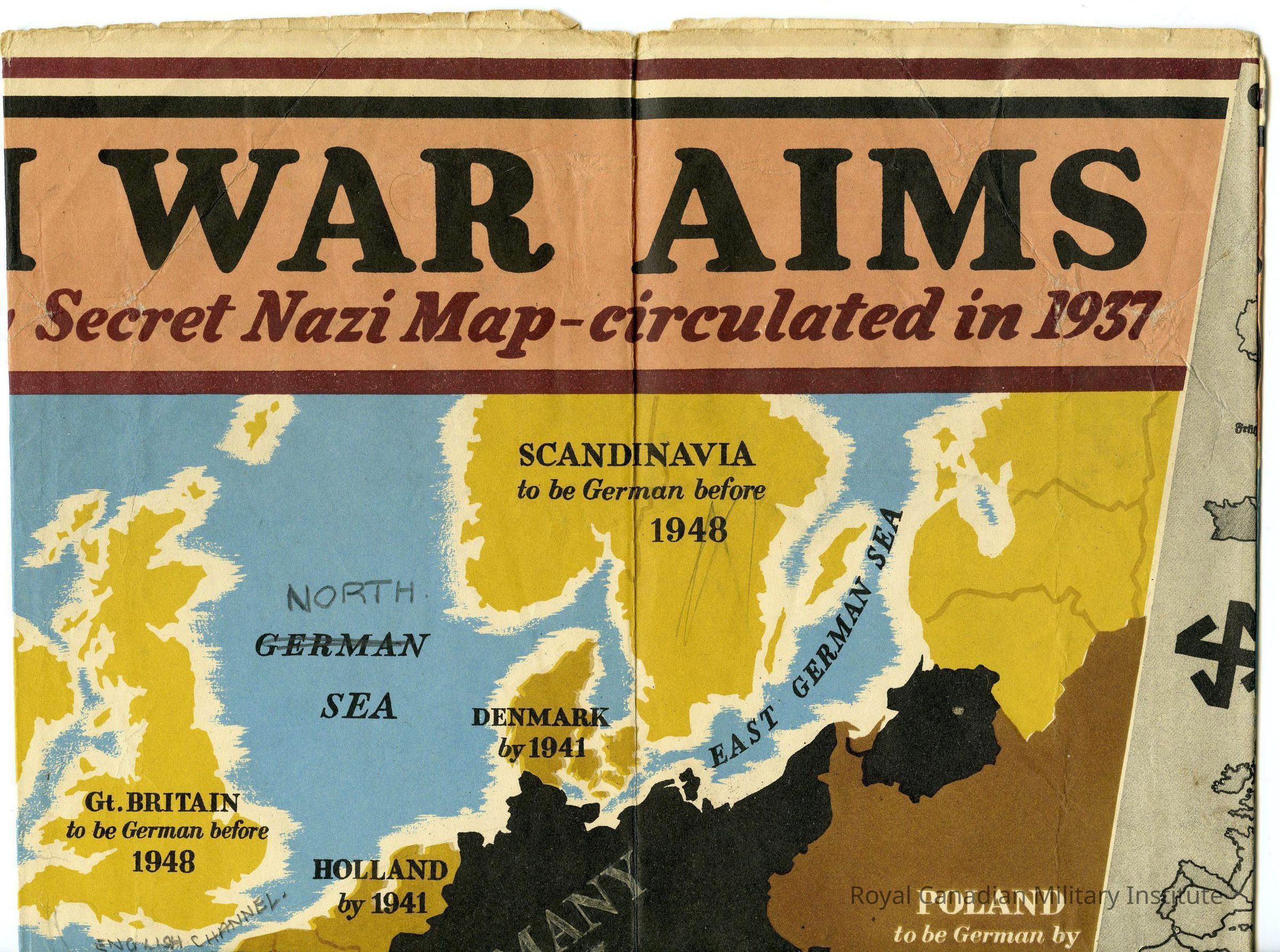
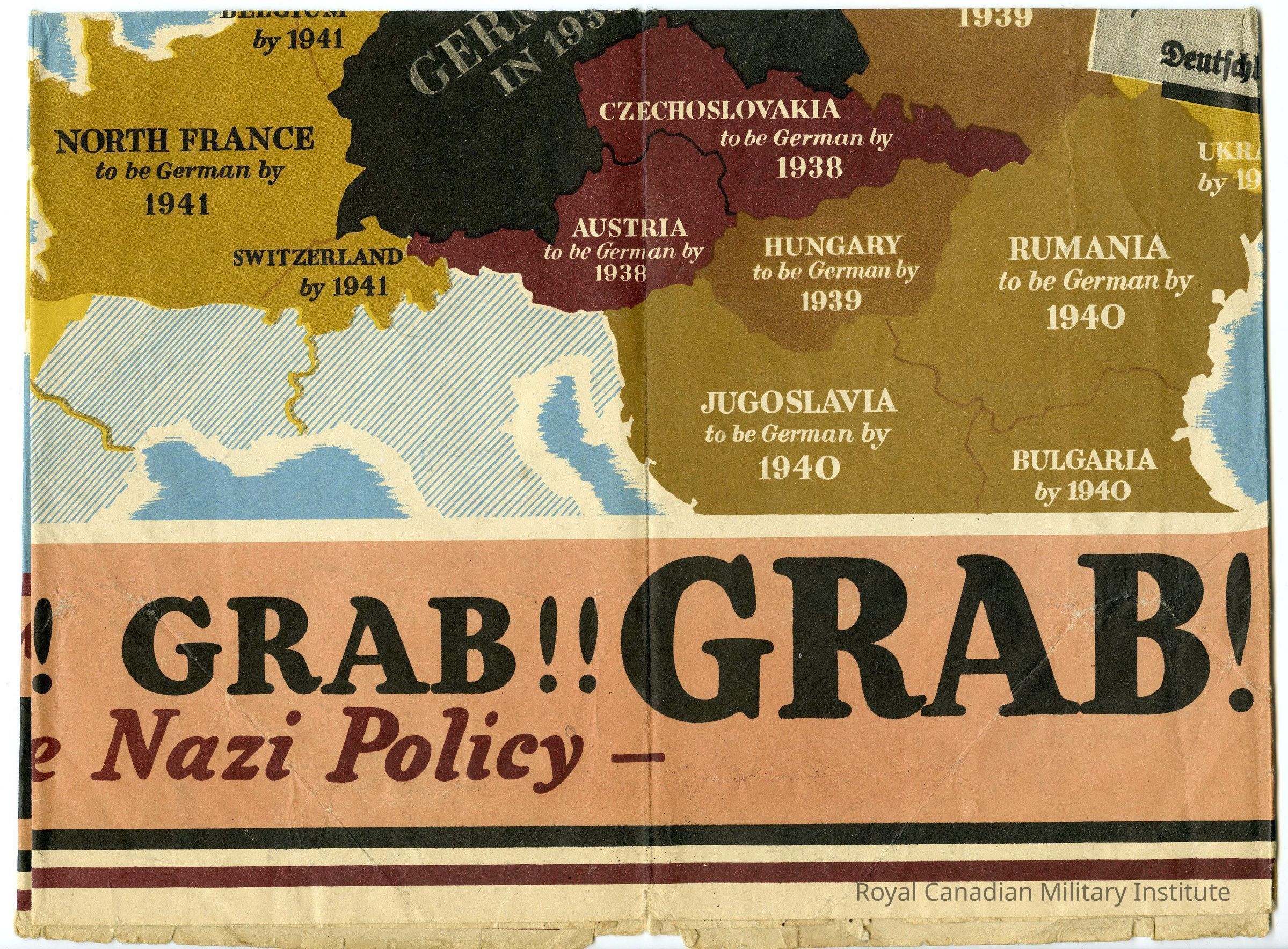
The British civilian map describes German expansion aims and objectives, where they planned to expand in Europe and when. For instance, it states that the Nazi's planned to expand to Scandinavia and Great Britain before 1948 and Ukraine by 1941. The map has been annotedted with the printed "German" in "GERMAN / SEA" between Great Britain and Scandinavia, replaced with "NORTH" written above "GERMAN" in pencil, with "GERMAN" crossed out.
Made/Created
Date made
1940 - 1941
Notes
Date: 1940
Inscription/Signature/Marks
Location
Title
Transcription
"NAZI WAR AIMS / Revealed by Secret Nazi Map- circulated in 1937 / GRAB! GRAB!! GRAB!!! / THAT'S the Nazi Policy -"