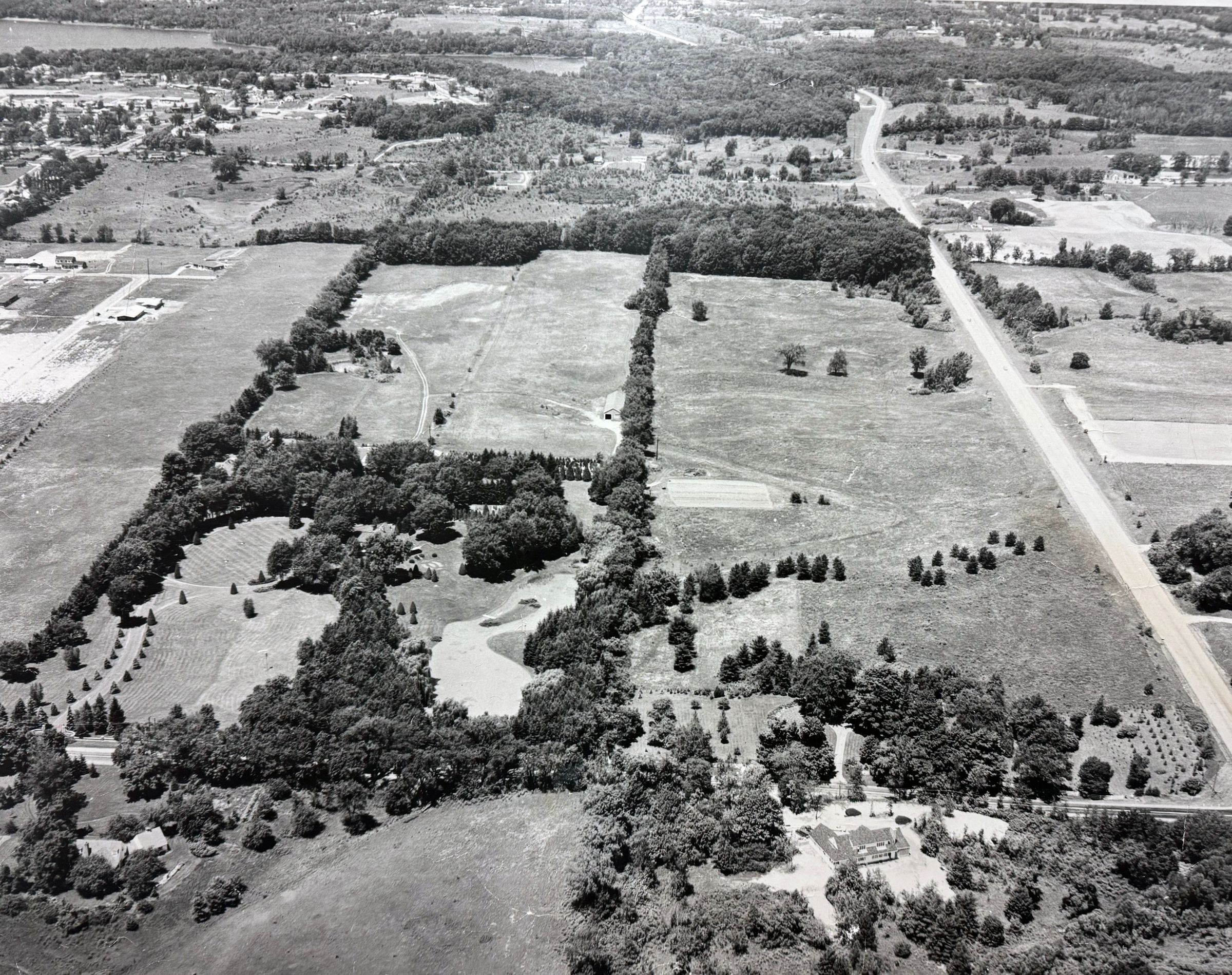
This photograph shows the Knollcrest Farm as it stood in the middle of the twentieth century. We are looking to the north, with the East Beltline shown at the righthand edge and Burton Street just barely visible through the canopy of trees toward the bottom of the picture. Reeds Lake appears in the upper lefthand corner. Relative to what is now Calvin's main entrance, the original driveway was further to the west. The Manor House can be seen to the left of the curving body of water we now know as the Sem Pond. Many of the details described on the large topographic study installed to the left of this photograph can also be seen here.
The surrounding neighborhood would develop alongside Calvin as houses were constructed to the east of campus in the 1960s. As this view makes clear, however, campus was constructed on what was then the edge of the city of Grand Rapids.