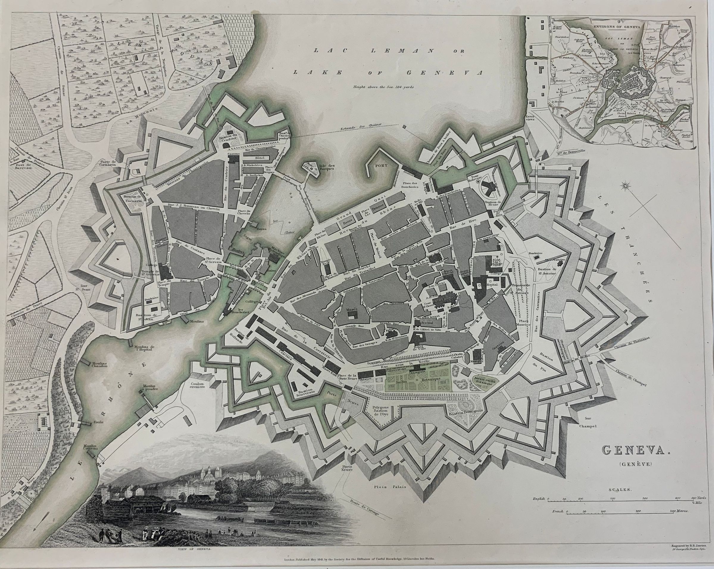
Map of Geneva

The image depicts an antique map of Geneva, showcasing the city's intricate fortifications and street layout. The map includes clearly labeled areas, pathways, and water bodies, highlighting Lake Geneva at the top. An inset on the top right provides additional geographical context, while a detailed illustration at the bottom depicts a scenic view of the lake.

The image depicts an antique map of Geneva, showcasing the city's intricate fortifications and street layout. The map includes clearly labeled areas, pathways, and water bodies, highlighting Lake Geneva at the top. An inset on the top right provides additional geographical context, while a detailed illustration at the bottom depicts a scenic view of the lake.

Name/Title

Map of Geneva

Entry/Object ID

2021.1.1

Type of Print

Engraving

Category

Vault, Map

Made/Created

Artist

Benjamin Rees Davies

Dimensions

Dimension Description

image size

Height

12-1/4 in

Width

14-3/4 in

Dimension Description

frame size

Height

22-1/4 in

Width

26-1/8 in