Name/Title
Land Use Master Plan 1979Entry/Object ID
2021.18.14Scope and Content
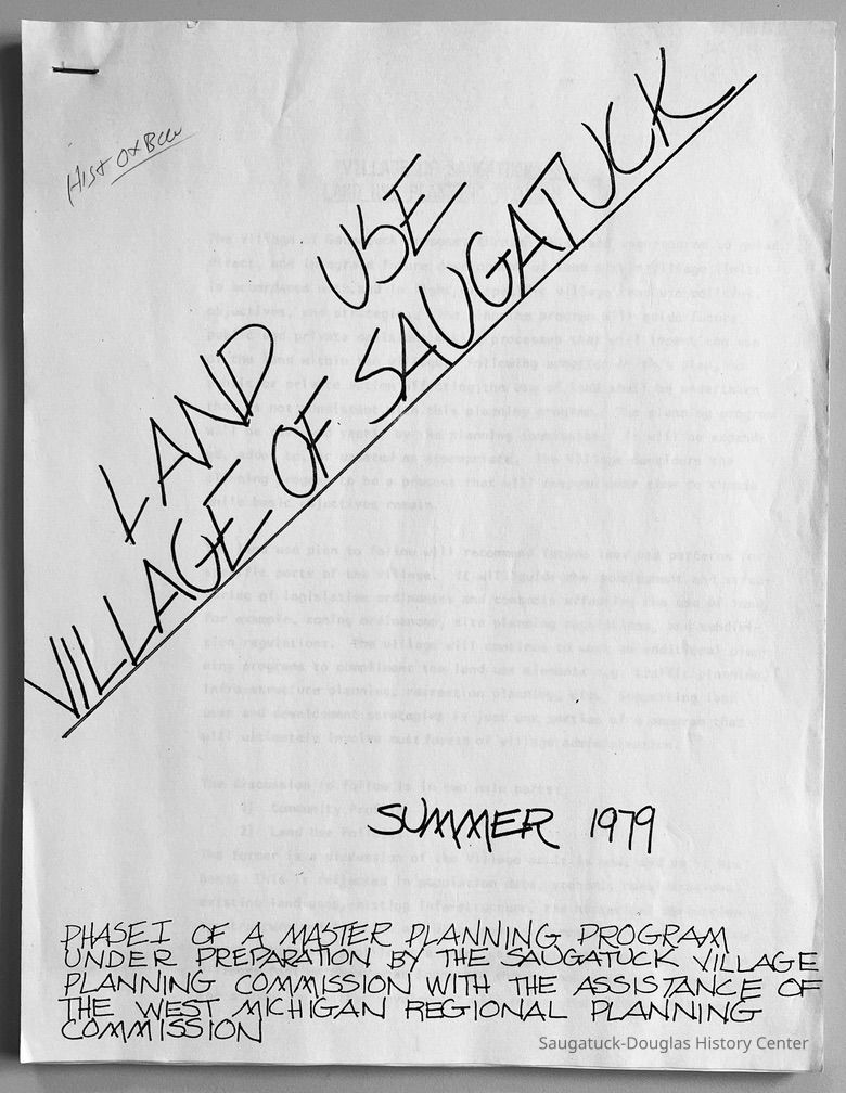
Land Use Village of Saugatuck Summer 1979, Phase 1 of a master planning program under preparation by the Saugatuck Village Planning Commission with the assistance of the West Michigan Regional Planning Commission.
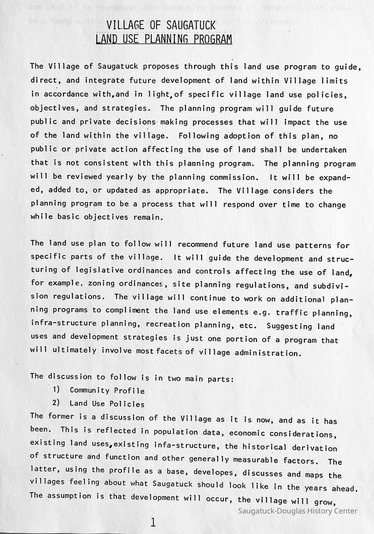
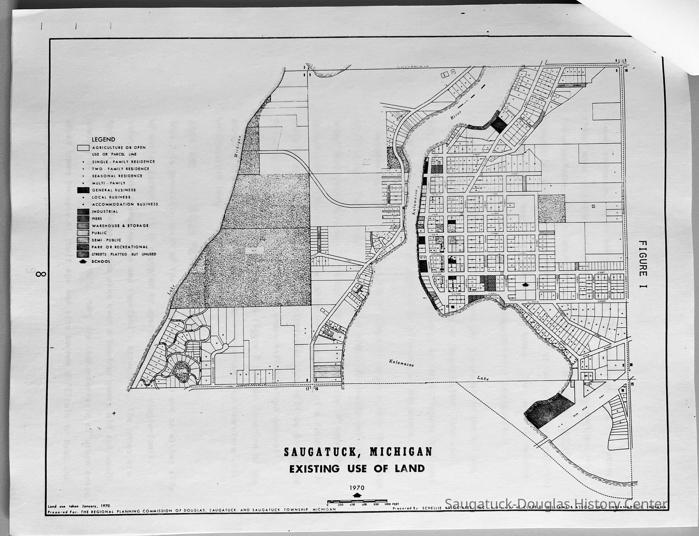
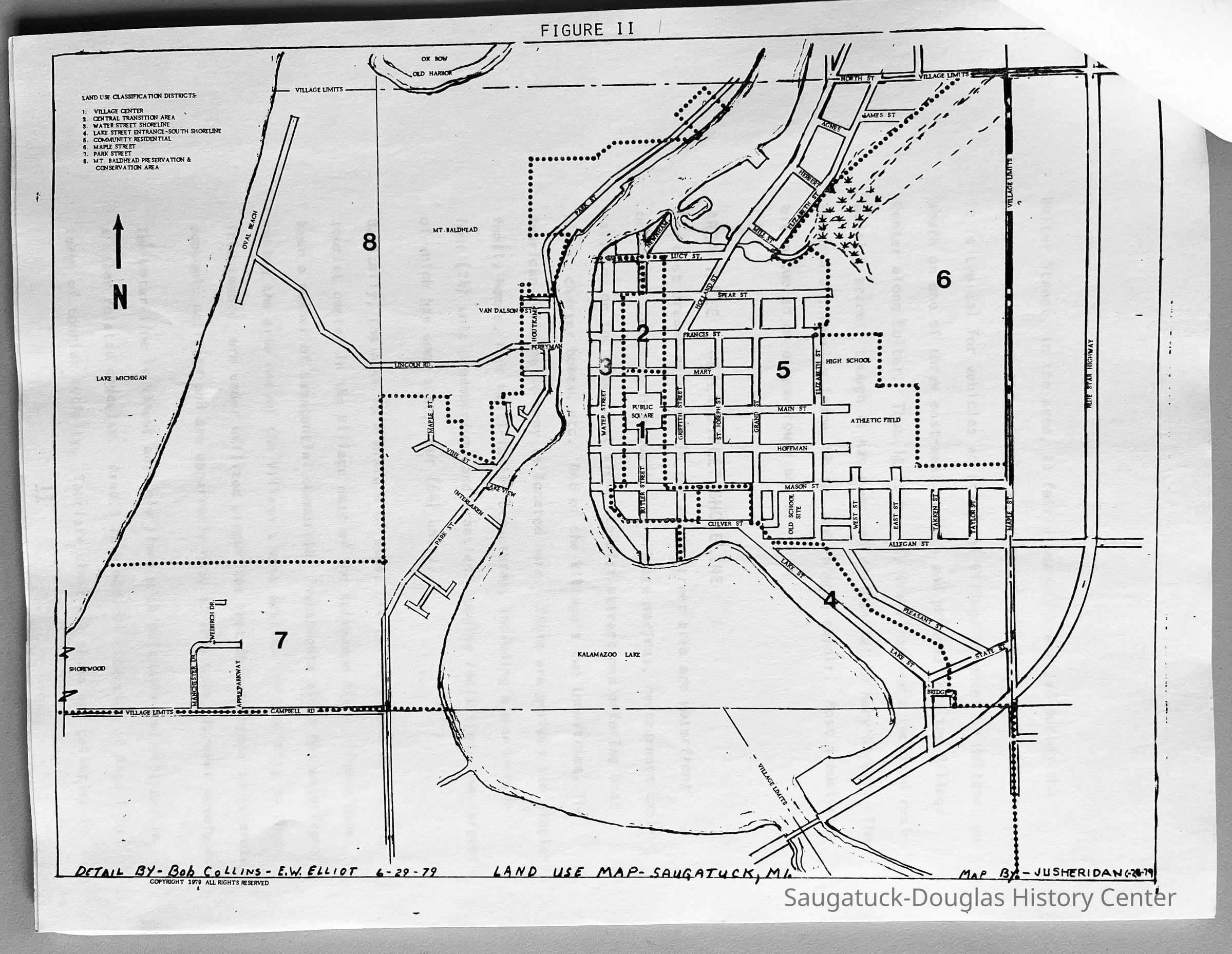
Thirty-nine page photocopied document that includes population, permit and land use tables, growth trend analysis, maps and descriptions of eight proposed land use areas and their economic structure. Specific attention given to Maple Street and Mount Baldhead.Context
A benchmark document outlining development attitudes and goals for the Saugatuck community in 1979.Collection
Development, land, Saugatuck, governmentCataloged By
Winthers, SallyAcquisition
Accession
2021.18Source or Donor
Lane, Kit, familyLexicon
Search Terms
Village center, Tourism, Resort area, Limited vehicular traffic, Preservation of scale, Maintenance of Rural, Village, Informal atmosphere, Historical and Architectural integrity, Low density, single-family residential, limited scale, Open space, Green space, Planned unit development PUD, Characteristic consistent with village character, Water qaccess, Commercial/Retail, Resort lodging, Conservation areaLocation
Box
084 Village/City Saugatuck, Saugatuck Township, Dredging ProjectCreate Date
March 5, 2025Update Date
March 5, 2025