Name/Title
West Michigan Pike-Southwest Michigan Road Map Volume II- Historic Resource SurveyEntry/Object ID
2019.35.48Description
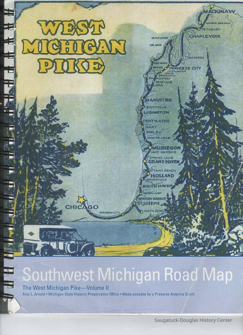
A Michigan project that produced a reconnaisssance survey of the buildings and sites found along the original and early routes of the West Michigan pike in seven counties (Berrien, Van Buren, Allegan, Ottawa, Muskegon, Ocean and Mason) between the Indiana state line and the city of Ludington. Historiic resources were photographed and GPS coordinates recorded. Whenever possible a cursory history of the resource was developed.
250 pp, maps. ill, photographs, database surveyCollection
BooksCataloged By
Slusar, VernLexicon
Search Terms
West Michigan Pike, Berrien County, Van Buren County, Allegan County, Ottawa County, Muskegon County, Oceana County, Mason County, Roads--Michigan, Michigan-HistoryBook Details
Author
Arnold, Amy L.Publisher
State Historic Preservation OfficePlace Published
Location
Lansing, MichiganDate Published
2010Publication Language
EnglishCall No.
977.4 ARN Vol IIGeneral Notes
Note
Status: OK
Status By: Vern Slusar
Status Date: 2020-01-08Create Date
January 8, 2020Update Date
July 23, 2023