Englewood Beach Subdivision
281LB
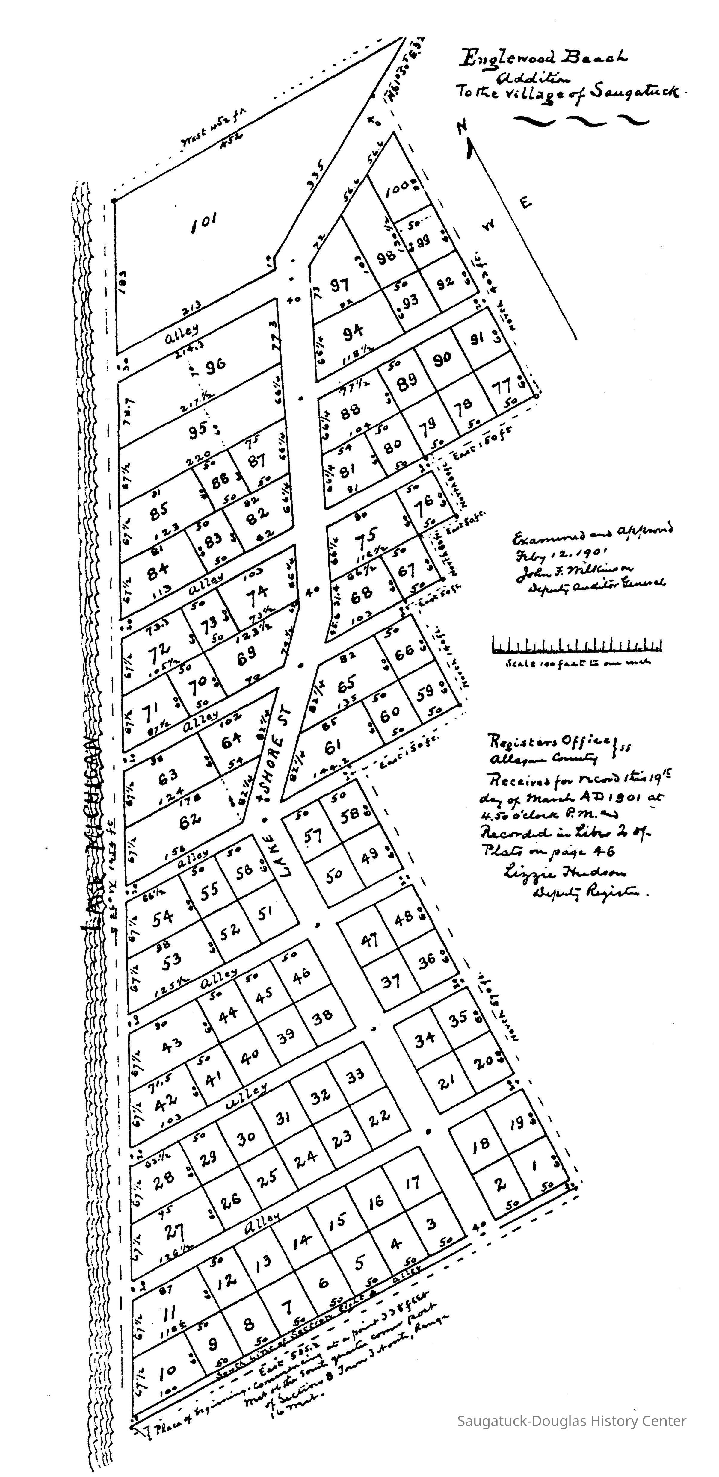
Questions of population density are nothing new in the Saugatuck area. Joyce Inch sends this map of the Englewood Beach subdivision that was received in 1901 by the Allegan County Registrar of deeds. It shows 101 building lots on the lakeshore just north of Campbell Road. Fortunately the entire plat was abandoned the next year and the strip of lakeshore became Shorewood and Hemlock Terrace subdivisions with far fewer lots. The only thing left of this map is the crook in the road that is here labeled "Lake Shore St."