Name/Title
Saugatuck Historic Coastal Survey ReportEntry/Object ID
2019.35.89Description
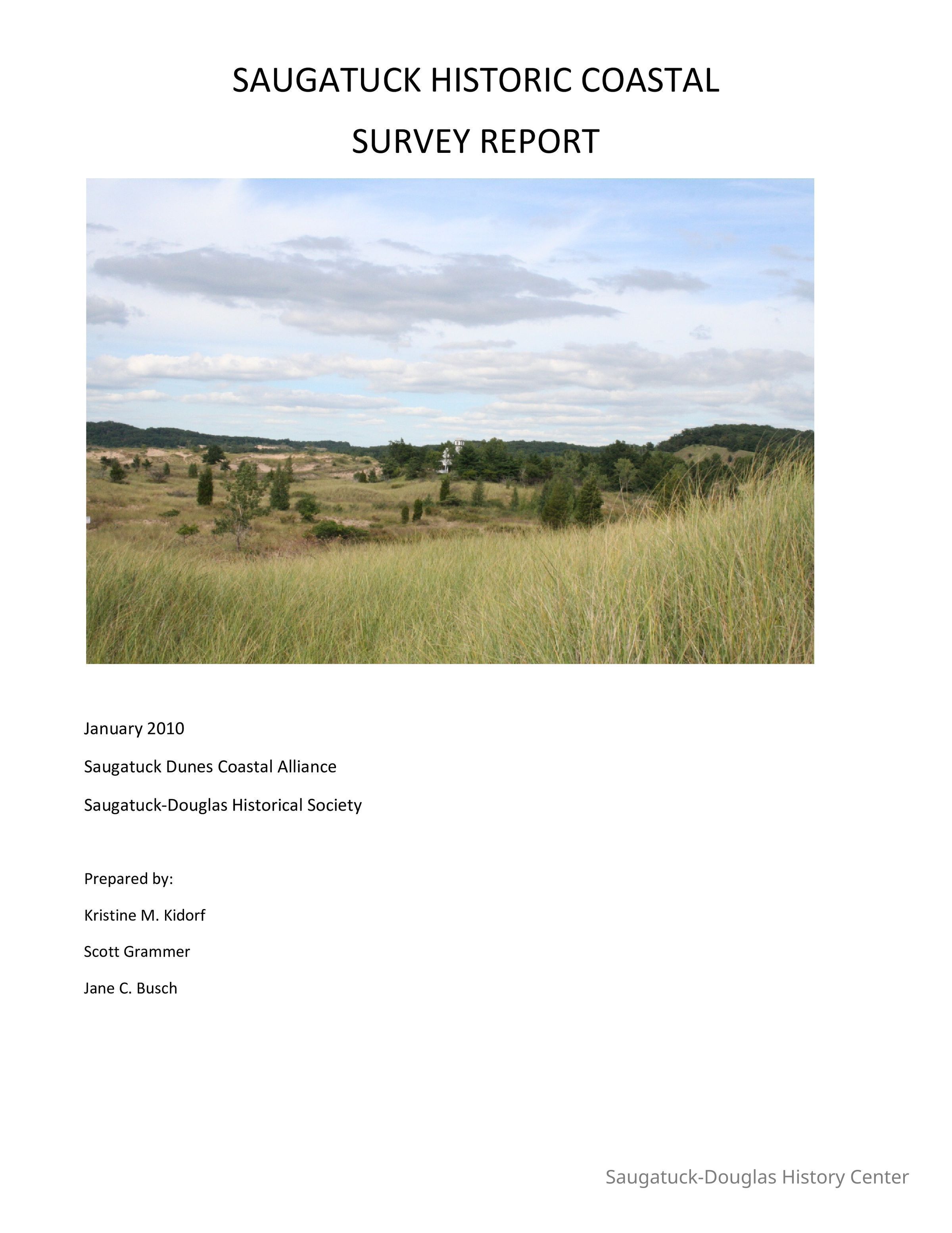
This study comprises two thousand acres of dunes and water on the east shore of Lake Michigan, north and south of where the Kalamazoo River enters the lake. It encompasses portions of Laketown Township in the north, Saugatuck Township in the center, and the city of Saugatuck in the east and south.
one notebook, 104 p.Collection
BooksCataloged By
Slusar, LindaLexicon
Search Terms
Sand dunes -- Michigan -- Planning., Sand dunes -- Rehabilitation -- Michigan -- Saugatuck -- Planning., Sand dunes -- Recreational use -- Michigan -- Saugatuck -- Planning., Beach erosion -- Michigan -- Saugatuck -- Management -- Planning., Coast changes -- Michigan -- Saugatuck -- Management -- Planning., Cliffs -- Conservation -- Michigan -- Saugatuck -- Planning., Shore protection -- Michigan -- Saugatuck -- Planning., Parks -- Michigan -- Saugatuck -- Design and construction., Parks -- Design and construction., Sand dunes -- Planning., Shore protection -- Planning., Michigan., Michigan -- Saugatuck.Book Details
Author
Saugatuck Dunes Coastal Alliance, SDHS Saugatuck-Douglas Historical Society 1986-2017Place Published
* Untyped Place Published
Saugatuck, Michigan (geographic place)Date Published
2010Call No.
977.401 SAUGeneral Notes
Note
Status: OK
Status By: Linda Slusar
Status Date: 2020-07-22Create Date
July 22, 2020Update Date
August 3, 2023