Name/Title
Ottawa County Historical Atlas and GazetteerEntry/Object ID
2019.35.114Description
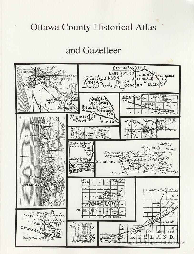
All you ever wanted to know about Ottawa County, Michigan, gathered into one readable volume. It includes historical maps beginning in 1755 through the building of the Inteerstate Highway system. The formation of county boundries and the townships is covered on detail, and the frequent controversy about the county seat. Railroads, including steam, electric and horse-drawn, are covered in one section.
1 atlas (192 p.) : maps ; 28 cm.Collection
BooksCataloged By
Slusar, VernLexicon
Search Terms
Gazetteer, Maps, Ottawa County, Rivers and Lakes, railroads, county seat, 1. Real Property Ottawa County, maps, 2 Ottawa County (Mich)Book Details
Author
Lane, Kit 1939-2024Publisher
Pavilion PressPlace Published
City
DouglasState/Province
MichiganCountry
United States of AmericaContinent
North AmericaDate Published
1999Call No.
977.415 LANISBN
187770346XNotes
Copy 1 and copy 2Relationships
Related Person or Organization
Person or Organization
Lane, Kit 1939-2024General Notes
Note
Status: OK
Status By: Vern Slusar
Status Date: 2020-09-02Create Date
September 2, 2020Update Date
July 23, 2023