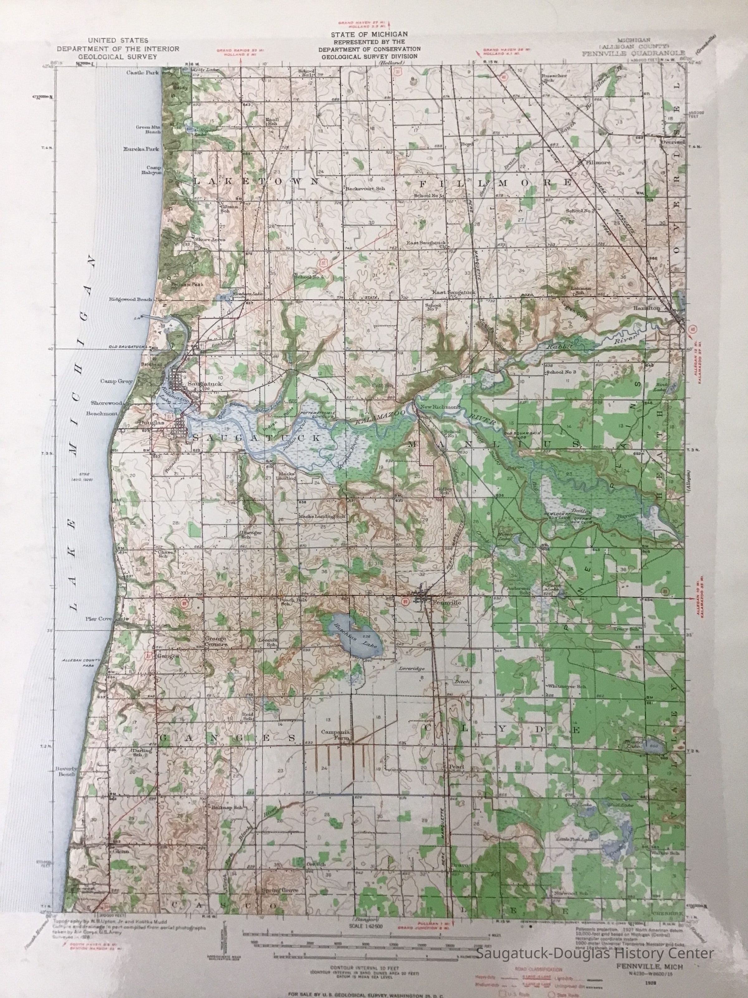
Name/Title
Fennville Quadrangle MapEntry/Object ID
2023.18.3Description
USGS quadrangle map of Fennville covering Laketown, Fillmore, Saugatuck, Manlius, Ganges, and Clyde townships.Acquisition
Accession
2023.18Acquisition Method
Found in CollectionMap Details
Maker or Creator
United States Geological SurveyScale
1:62500Projection
ConicPublisher
United States Geological SurveyDate Published
1928Location
Drawer
Flat Files drawer 11 Local mapsCreate Date
May 4, 2023Update Date
July 23, 2023