Name/Title
MapsEntry/Object ID
2016.37.07Scope and Content
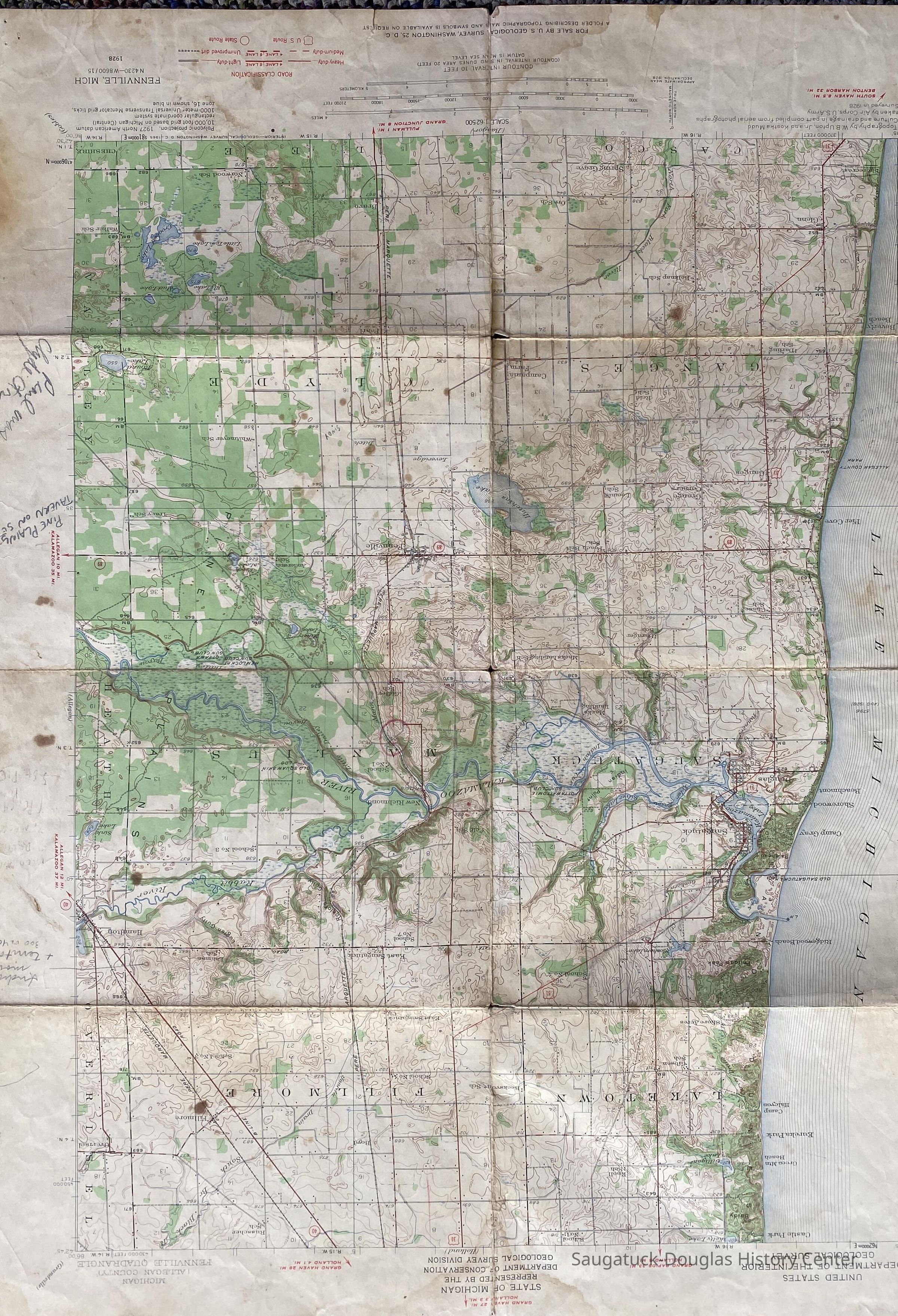
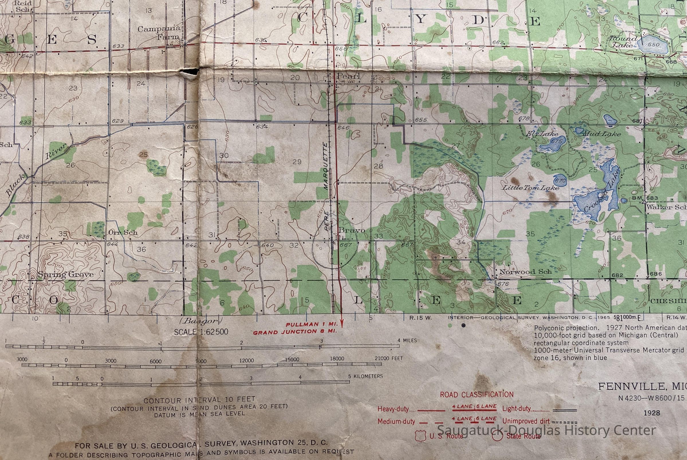
This series contains maps of the Saugatuck-Douglas area, both historic and modern. Box 2 is made up of the historic maps of Saugatuck, Singapore, Manlius and Douglas from as early as 1864 up tinil 1910. These maps are plats of the towns, Sanborn fire maps, or street maps which detail the towns. None of these are the originals and are photocopies that Lorenz made from other sources. There are several maps that he created himself, using those photocopies as his reference. His maps are either hand-drawn or copy and pasted from other sources. In Box 15, there are modern maps of Michigan that Lorenz collected. These maps are originals that he collected and detail the entire state, but do include Saugatuck and date up until 1976.
1 box- Early maps of Saugatuck, Singapore, Douglas, Manlius
1 folder- maps of modern MichiganCollection
Charles LorenzCataloged By
Stevens, MeghannAcquisition
Accession
2016.37Source or Donor
Pena, DayAcquisition Method
DonationLexicon
Search Terms
Charles Lorenz, Maps, Saugatuck, Singapore, Douglas, Manlius, MichiganArchive Details
Creator
Lorenz, Charles J. 1942-1994Date(s) of Creation
1864 - 1976Archive Size/Extent
1 box- Early maps of Saugatuck, Singapore, Douglas, Manlius
1 folder- maps of Modern MichiganPrimary Language
EnglishArchive Notes
Date(s) Created: 1864-1976
Date(s) Assembled: 1970-1980
Archivist's Notes: The modern maps of Michigan are included in the background research box because they are not from the same time period as the early maps.
Finding Aids: Maps
Newark
Manlius
Singapore
Douglas
Michigan
Sanborn Fire Maps
Charles Lorenz
Level of Description: SeriesArchive Items Details
Title
Box L2 Early Maps of Saugatuck, Singapore, Manlius, DouglasDescription
These are photocopies of maps dating back to 1864 of the Saugatuck-Douglas area.Title
Box L15 Modern maps of MichiganDescription
This box contains 1 folder which has modern maps of Michigan which Lorenz collected. The maps are all originals and range in age from the 1960s to the 1970s.Condition
Overall Condition
GoodNotes
There is little deterioration to these maps. The photocopies and orginal maps do show some fading in color and lettering, but not enought to make them illegible.Relationships
Related Person or Organization
Person or Organization
Lorenz, Charles J. 1942-1994General Notes
Note
Status: OK
Status By: Meghann Stevens
Status Date: 2018-09-21Create Date
September 21, 2018Update Date
July 23, 2023