Name/Title
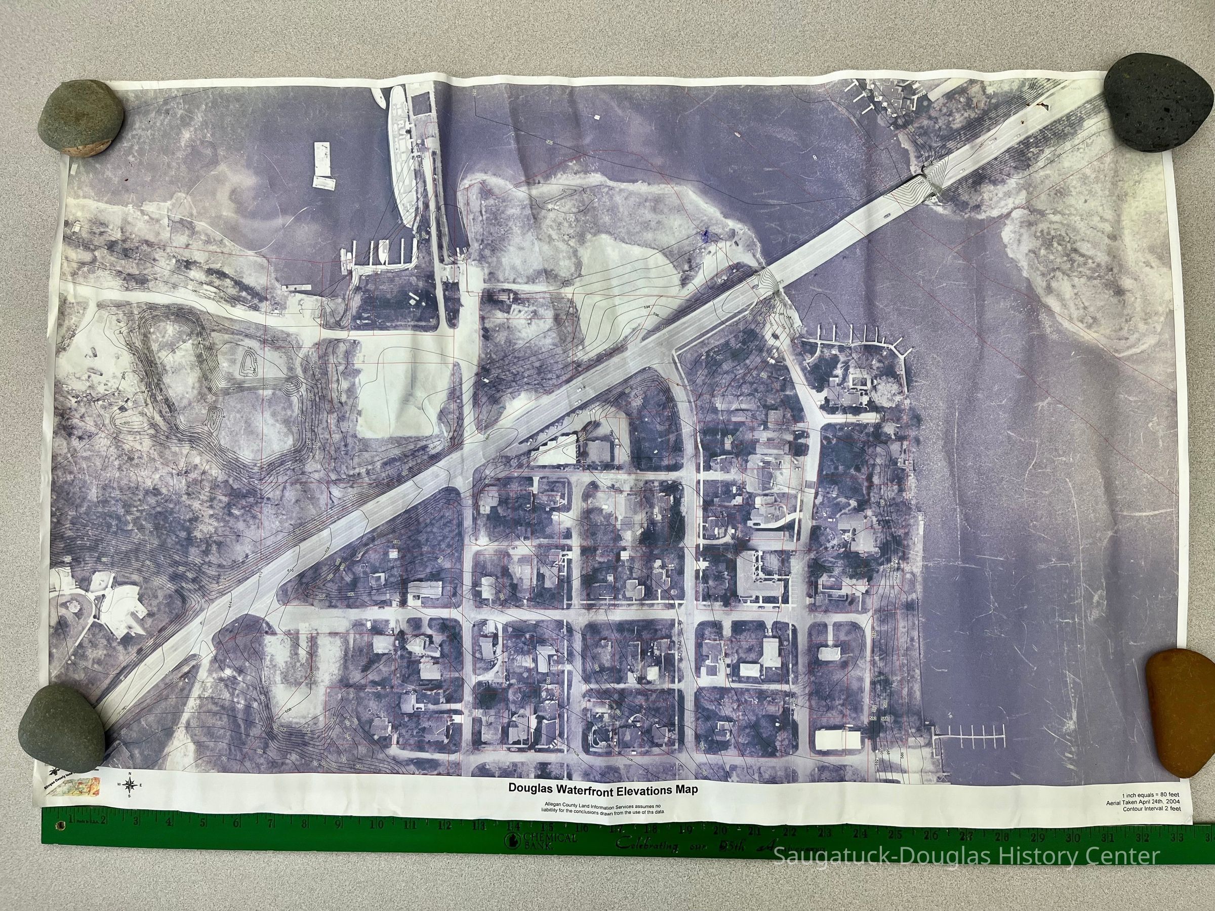
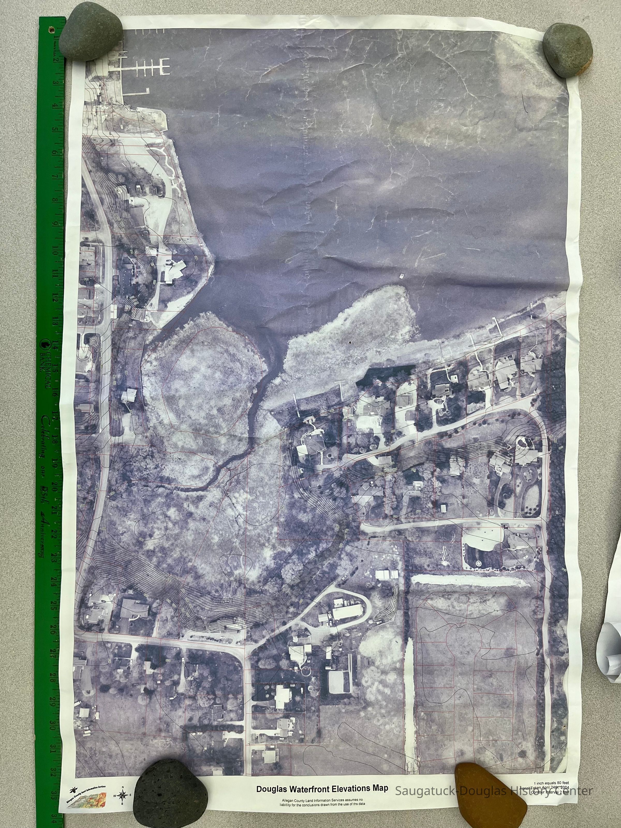
Douglas Waterfront Elevations MapEntry/Object ID
2023.12.03Scope and Content
Two aerial photographs of Douglas including downtown Douglas and Wade's Bayou. Photographs include contour lines for elevation. Photograph was taken April 24th, 2004. Produced by Allegan County Land Information Services.Acquisition
Accession
2023.12Source or Donor
Royce, Frederick EagleAcquisition Method
Donation, unconditionalLocation
Drawer
Flat Files drawer 11 Local mapsCreate Date
March 21, 2023Update Date
July 23, 2023