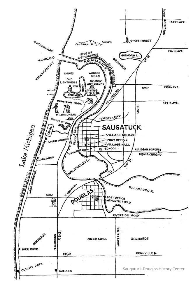
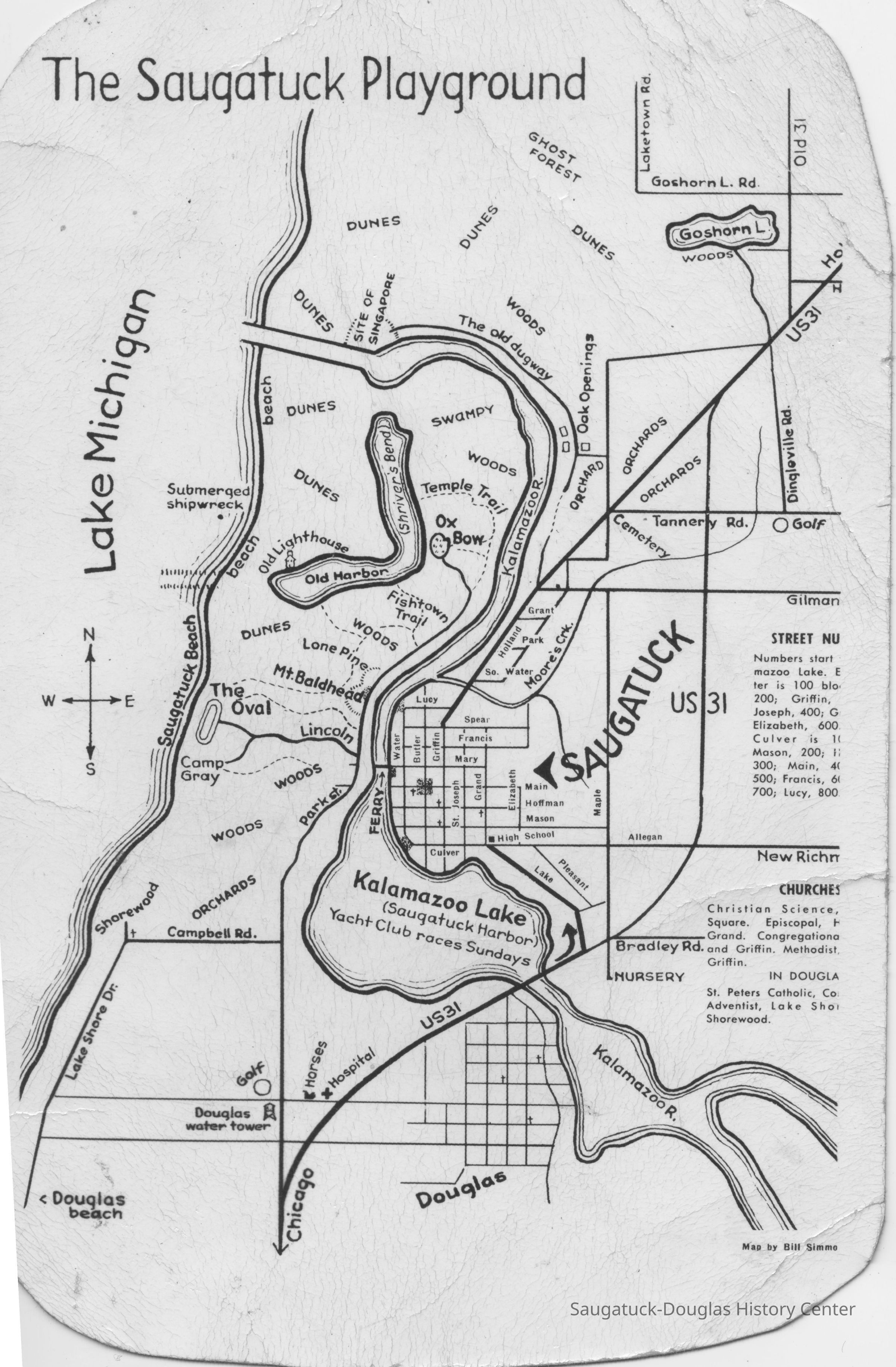
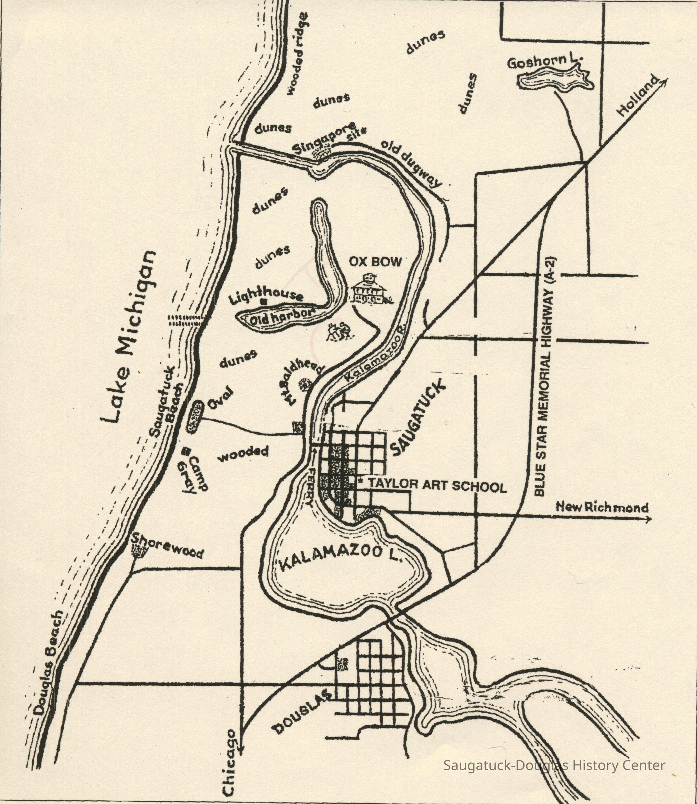
Saugatuck Playground Map by Simmons
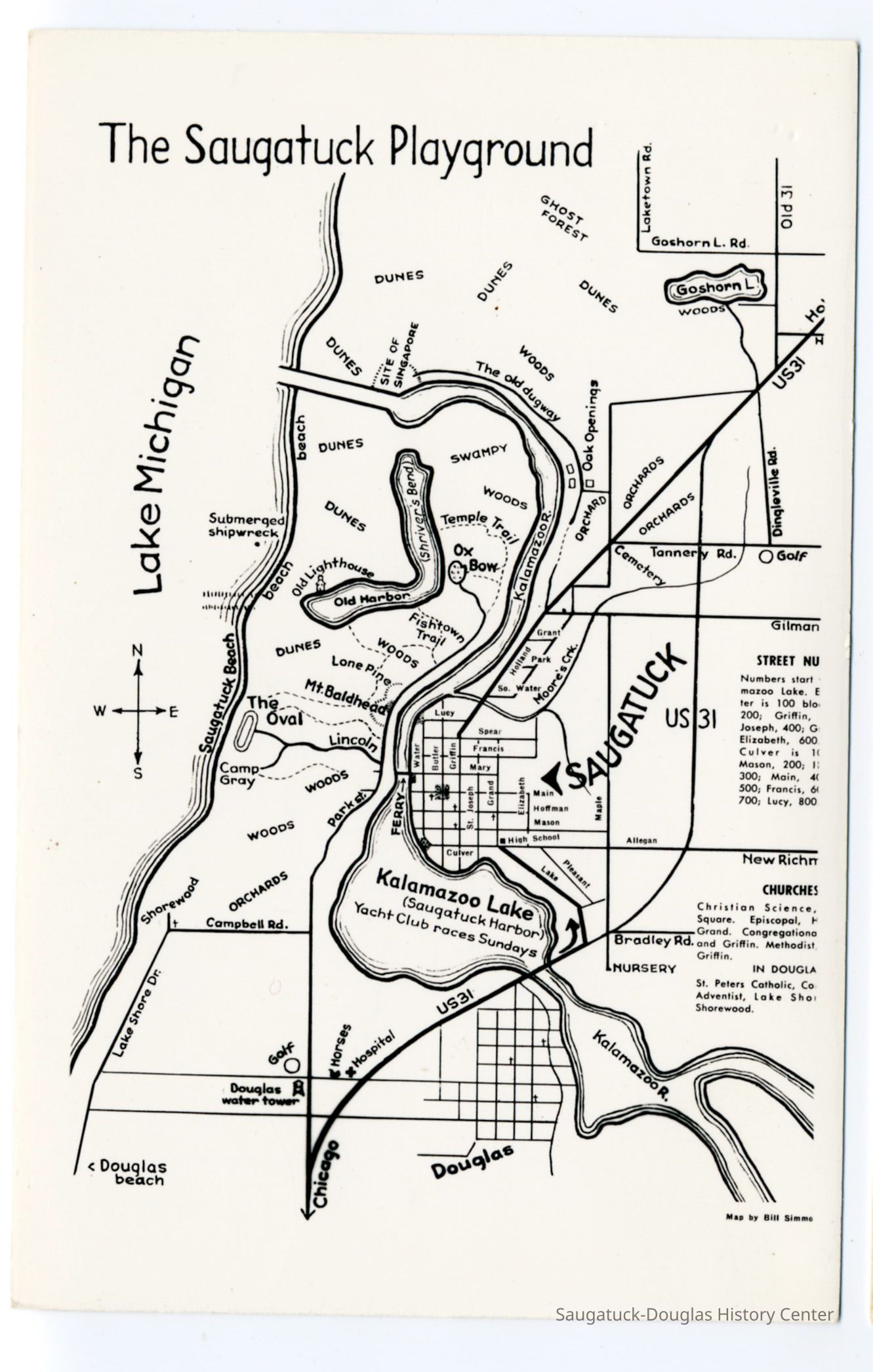
Saugatuck_map_postcard.jpg 575KB from Zolper collection
The Saugatuck Playground map by Bill Simmons that includes the Douglas water tower, Old Allegan Road as New Richmond Road, orchards off Campbell Road, Camp Gray, Lincoln Road, Lone Pine, Fishtown Trail, Temple Trail, Shriver's Bend, submerged shipwreck, site of Singapore, the old Dugway, ghost forest, Dingleville Road, Tannery Road, Oak Openings, Moore's Creek and Old US31.