Name/Title
Presbyterian Camp Redevelopment PlansEntry/Object ID
2014.19Scope and Content
Topographical maps of the landscape and architectural drawings of the buildings at the Presbyterian Camp.
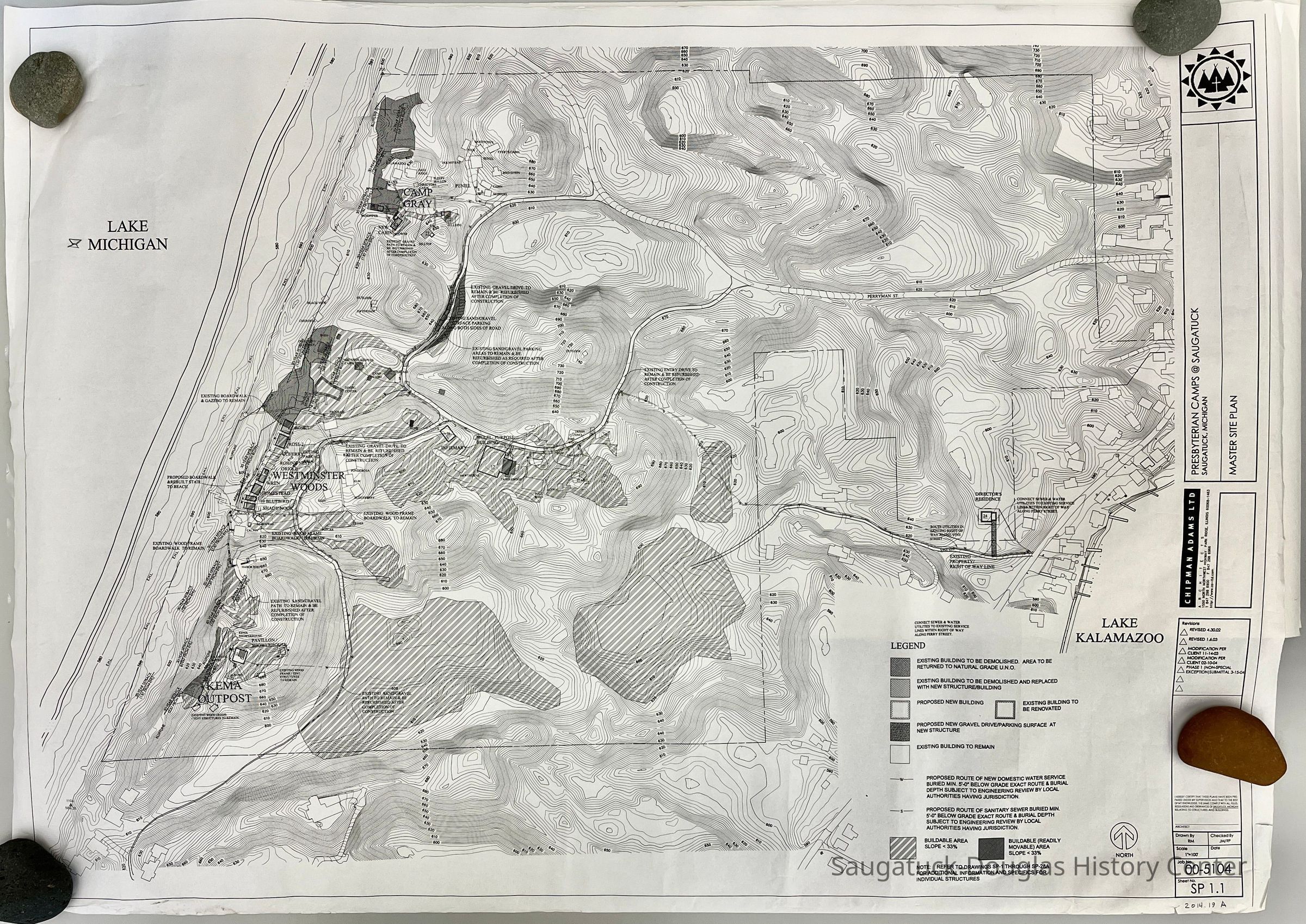
A. Master Site plan, revised 2004 - 30" high x 42" wide
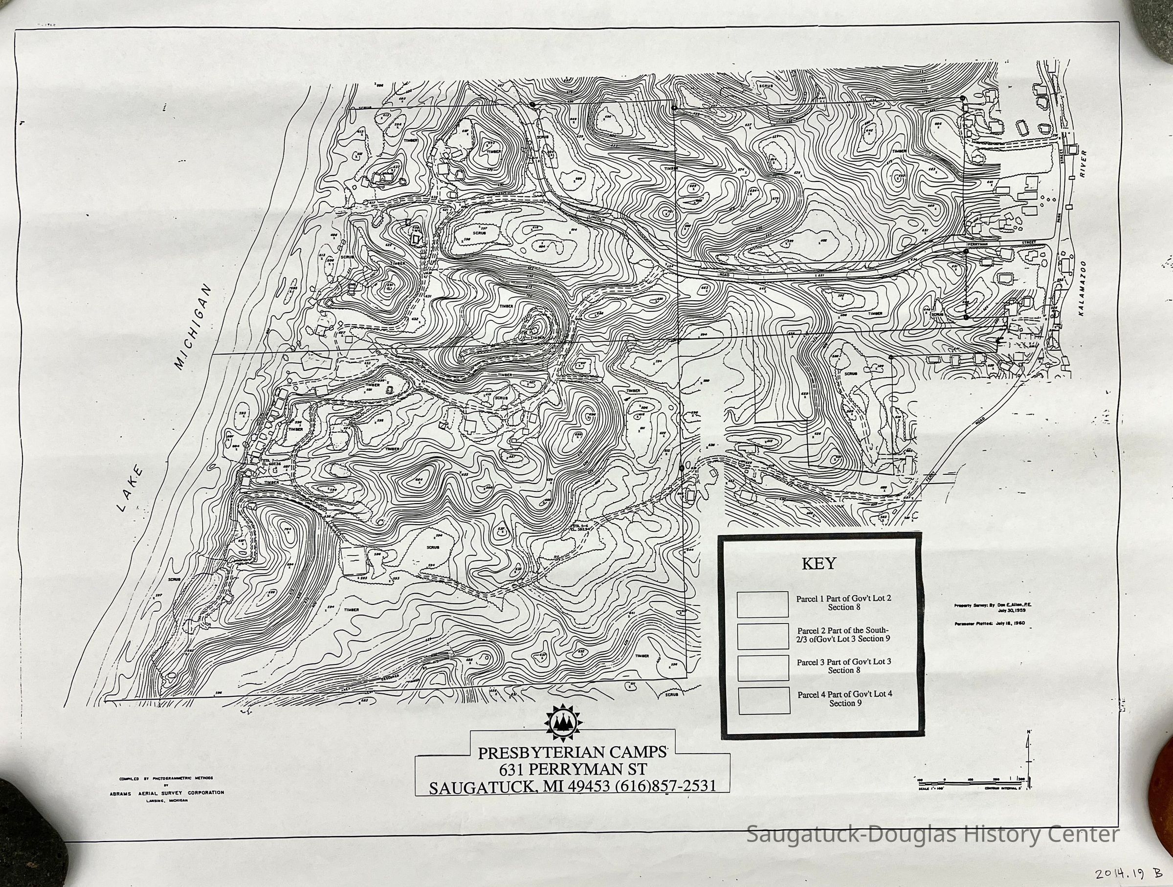
B. Small topographic map compiled by Abrams Aerial Survey Corporation, Lansing, Michigan , 1960 (2 copies) 18" high x 24" wide
C.-? Uncatalogued box of maps.Collection
1897 Forward Movement Park, Gray and Presbyterian Camps -2014, Buildings: Lost, Development, landCataloged By
Voss, MaryAcquisition
Accession
2014.19Source or Donor
Barker, David "Dave"Acquisition Method
DonationLexicon
Search Terms
Presbyterian CampsLocation
Drawer
Flat Files drawer 05 plansCreate Date
July 21, 2014Update Date
September 2, 2024