Name/Title
Tri-community Comprehensive Plan draft, 2004-5Entry/Object ID
2021.41.30Scope and Content
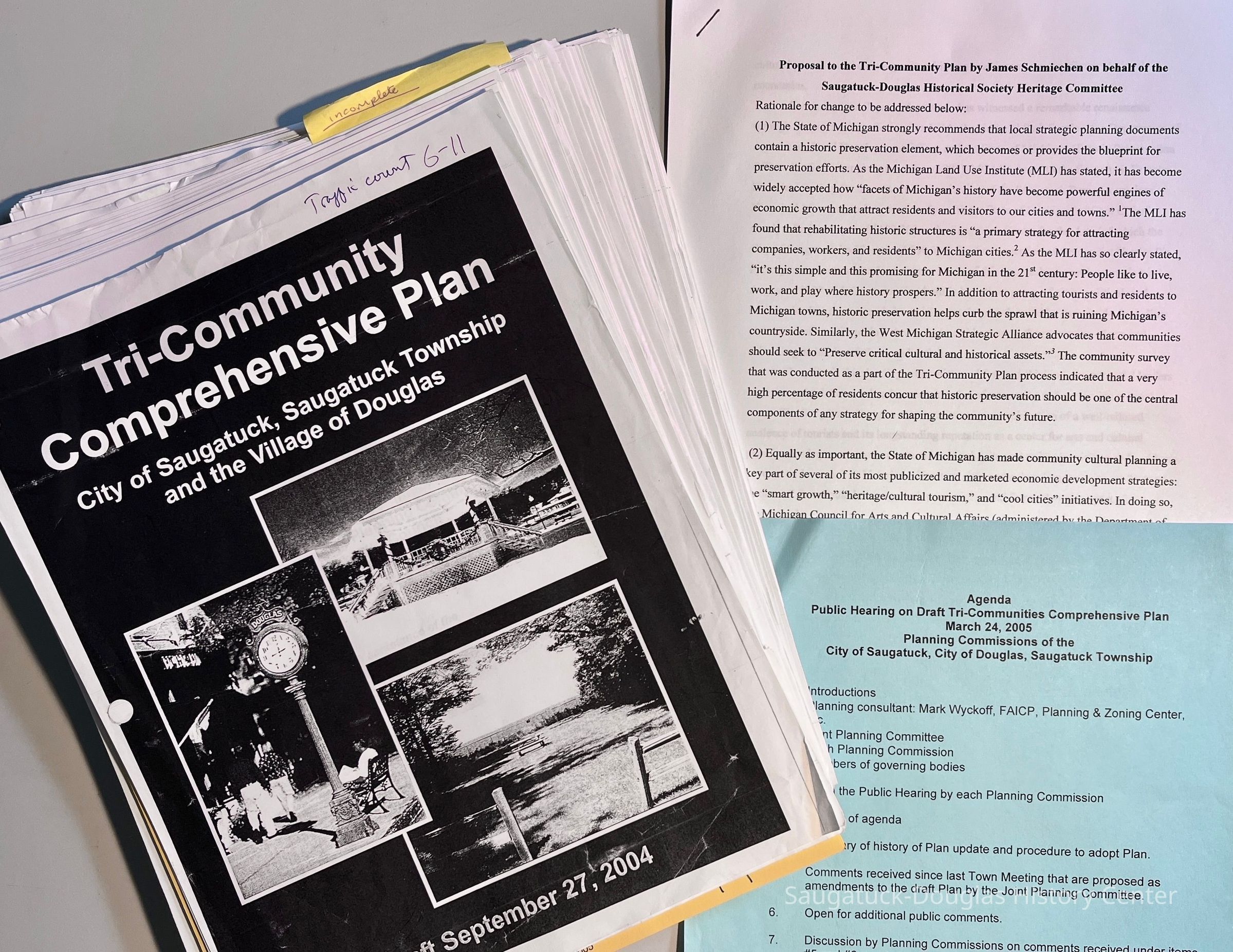
Three photocopied documents:
1. James Schmiechen's draft copy of the Tri-communities Comprehensive Plan, also called the Tri-community Comprehensive Plan. Pages printed on white paper are from a 9/27/2004 draft. Pages printed on yellow paper are from a revised, June 2005 draft.
2. "Proposal to the Tri-Community Plan by James Schmiechen on behalf of the Saugatuck-Douglas Historical Society Heritage Committee" - a seven-page document.
3. Agenda for March 24, 2005 public hearings on draft plan, single page photocopied on blue paper.Context
This document represents a revision in a community development plan that was started in 1987 with town meetings and surveys of area leaders and citizens. This draft is loaded with data and statistics about the community circa 2004-2005.
The document includes:
Chapter 1:Goals & Policies: The Areawide Policy Plan to retain community character, manage growth, promote balanced land use, maintain agriculture, encourage economic, commercial and industrial development.
Chapter 2: Demographics - population size, households, age, race, poverty level, special needs, visitor profile, employment
Chapter 3: Economics - income, house value, building permits, employers,
Chapter 4: Natural Resources and the Environment - climate, geology, topography, drainage, floodplains, wetlands, soils, septic system standards, farmland, groundwater, shallow lakefront parcels, sand dunes, woodlands,
Chapter 5: Existing Land Cover and Use - agricultural, residential, industrial, historic districts, archaeological and historic sites,
Chapter 6: Public Facilities and Services - Utilities, water authority, sewage treatment, drains, road transportation, traffic counts, speed limits, crash locations, fire, police and emergency services, hospitals, schools and enrollment, solid waste disposal
Chapter 7: Recreation and Open Space - community recreation, social/cognitive/intellectual/cultural recreation inventory, non-motorized trails, spending
Chapter 8: Waterfront - watersheds, mean monthly river flow, primary ecosystems, water quality, Kalamazoo River areas of concern impairments, lake levels, harbor, marinas, marine safety, high/low water,
Chapter 9: Growth and Development Trends - build out analysis, maintaining rural character,
Chapter 10: Future Land Use - development and conservation areas, preservation of community character,
Chapter 11: Zoning Plan - Joint master plan, commercial districts and their regulations
Chapter 12: Intergovernmental Cooperation
Chapter 13: Strategies for Implementation
Appendix: Resolutions of Adoption
The final 2016 version of this plan is available online. See "web links" below.Collection
Development, land, Development, resistance to, Urban planning/development, Historic Preservation, Nature, ecology, the landscape, Utilities and public infrastructure, Industry and manufacturing, 1870 Fruit growing, farming, agriculture, Transportation: highway and road infrastructureCataloged By
Winthers, SallyAcquisition
Accession
2021.41Source or Donor
Schmiechen, James A.Acquisition Method
DonationLexicon
Search Terms
land use, sprawl, trees, charm, growth, economic development, housing, scenic easements, safe drinking water, demographics, statisticsArchive Details
Date(s) of Creation
2004 - 2005Dimensions
Height
11 inWidth
8-1/2 inDepth
1 inCreate Date
August 5, 2025Update Date
August 5, 2025