Name/Title
Lakeshore from the air 2006Entry/Object ID
2023.18.47Description
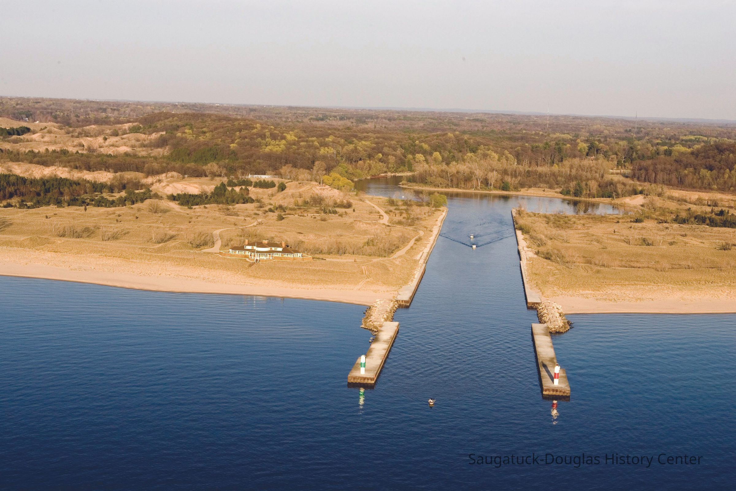
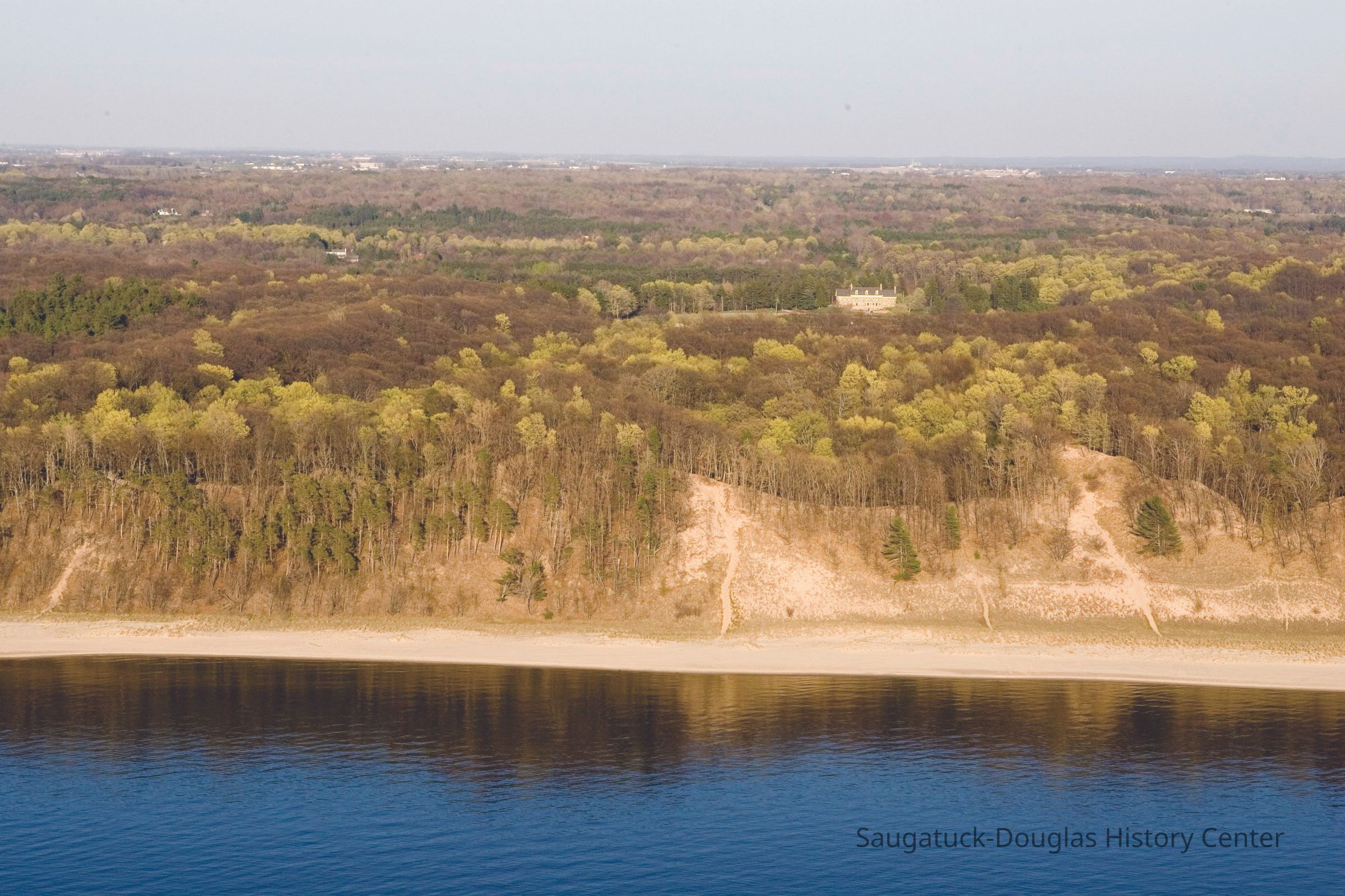
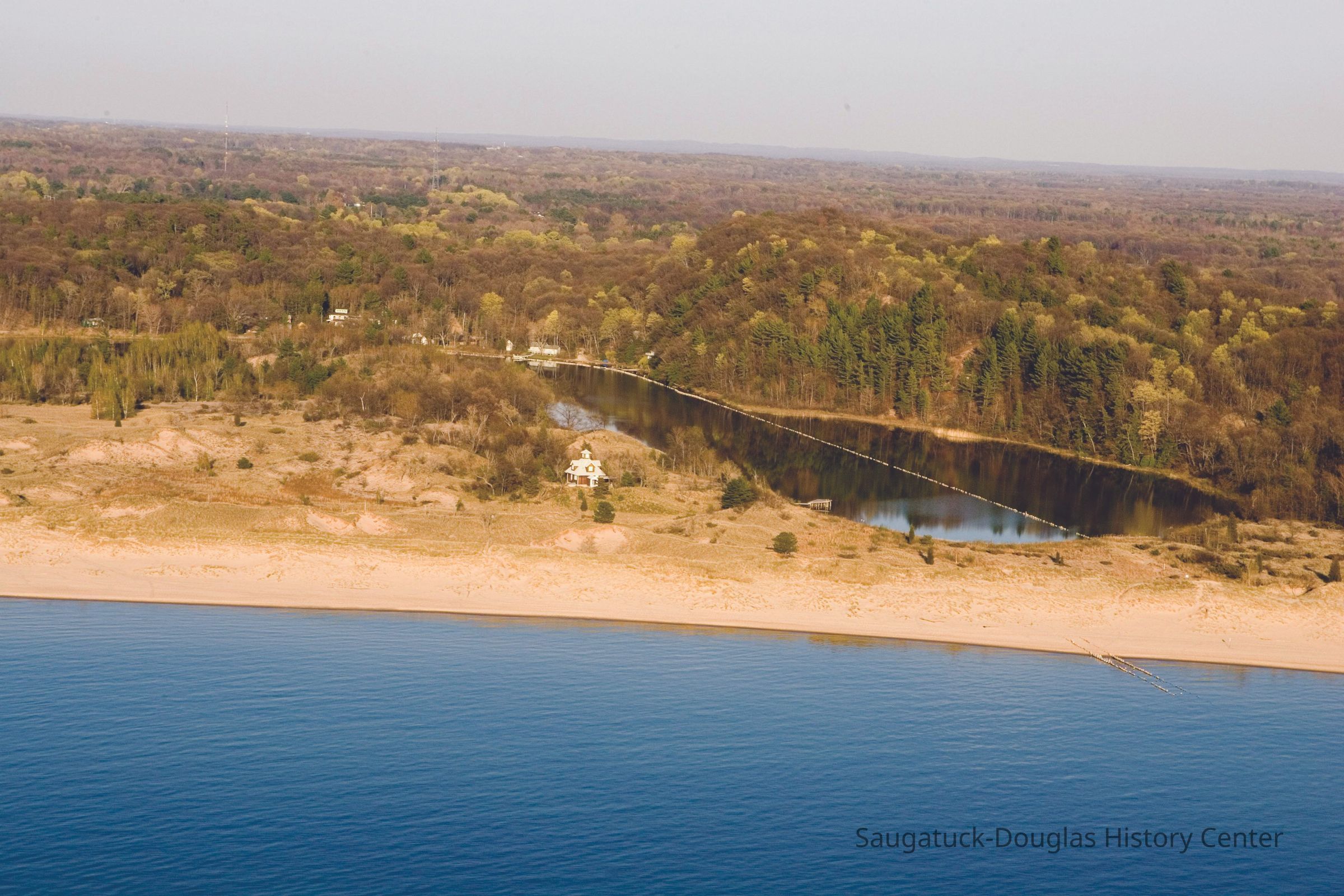
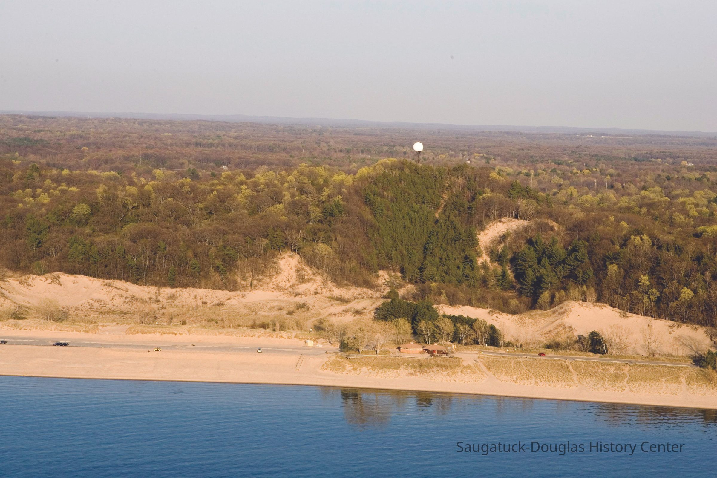
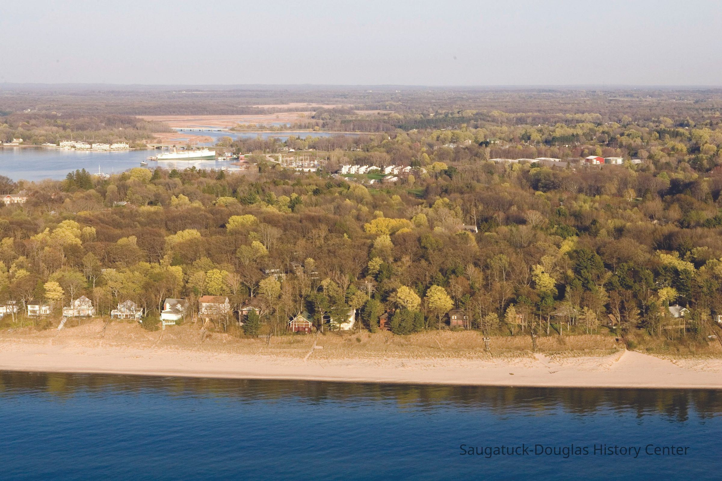
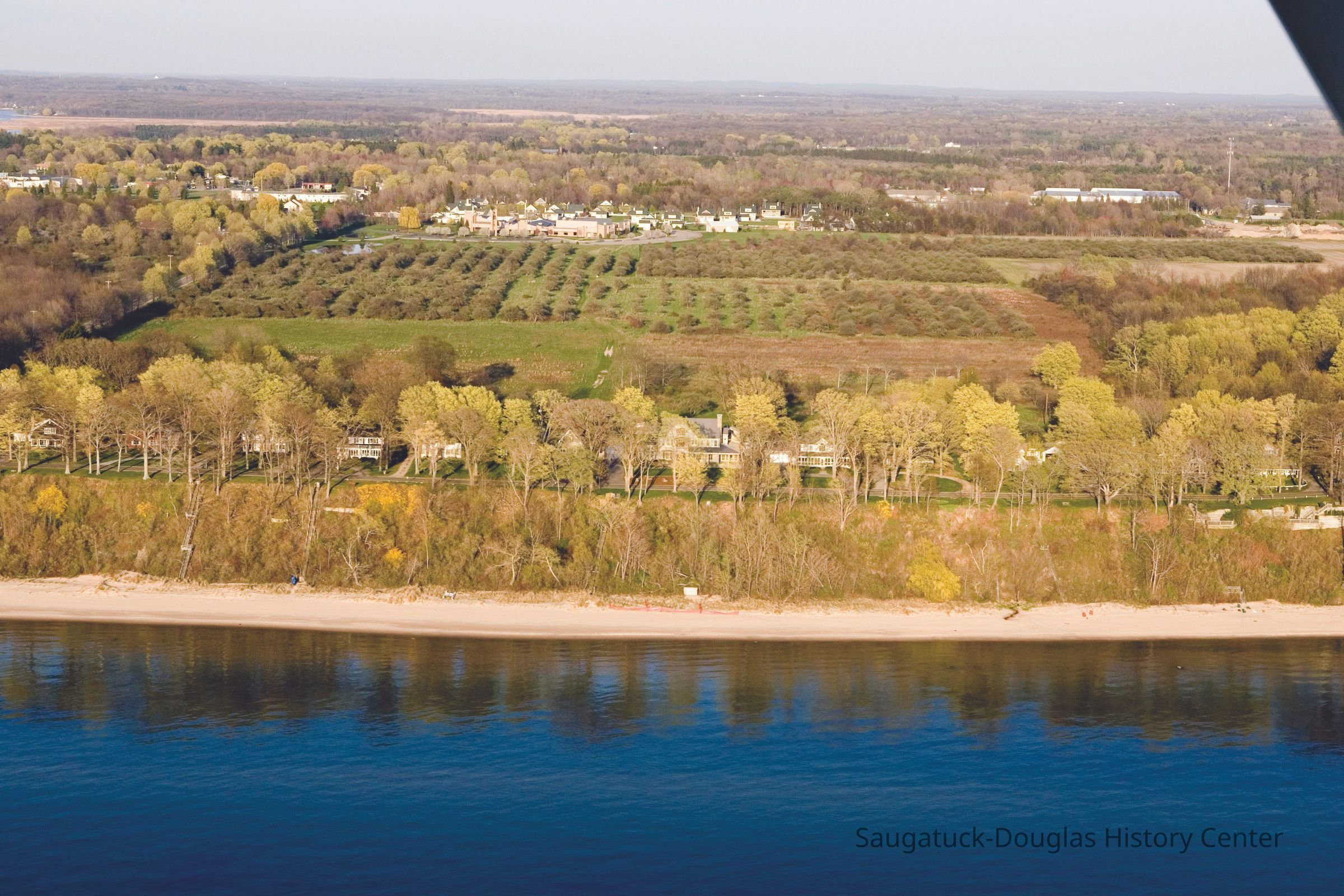
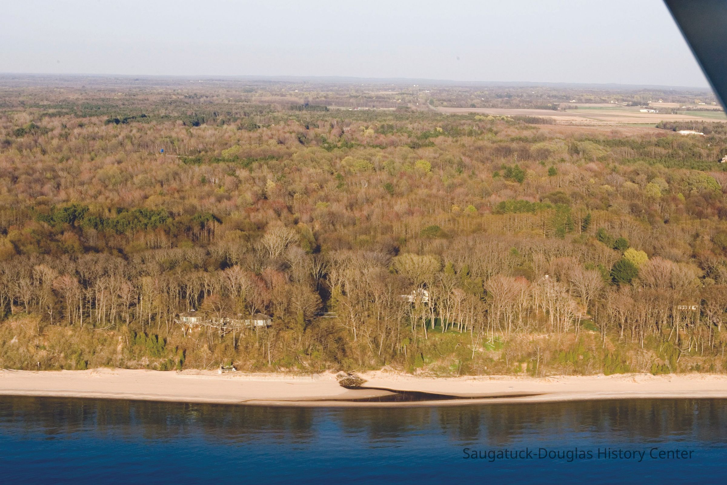
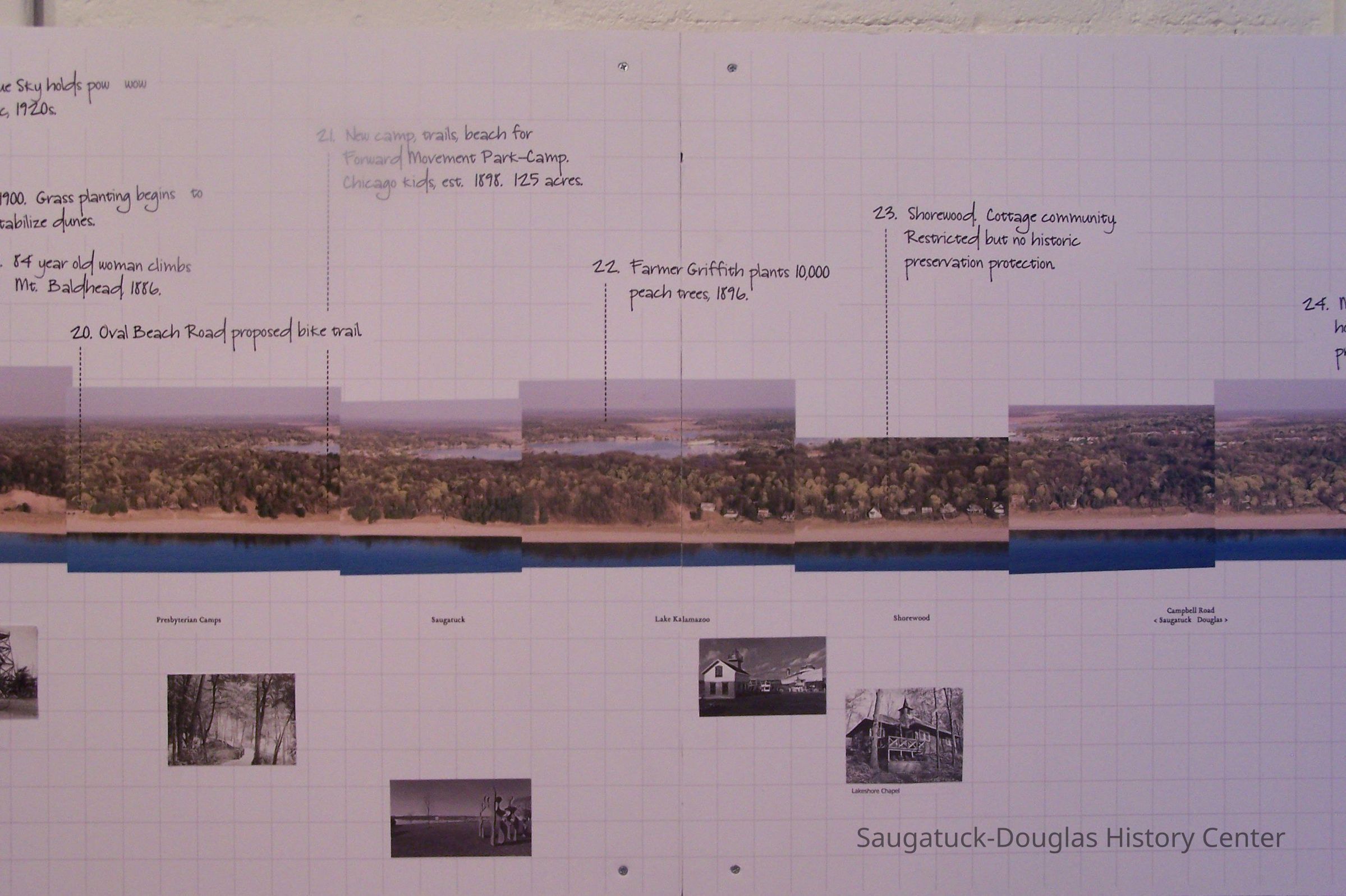
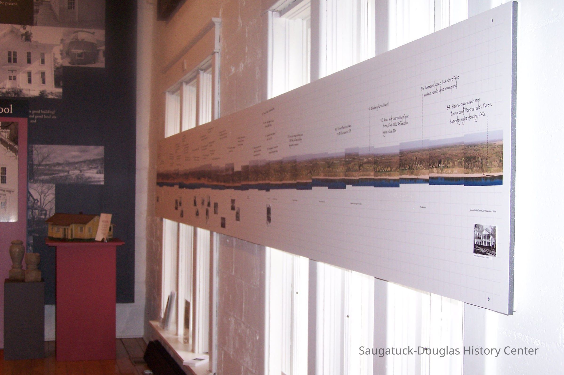
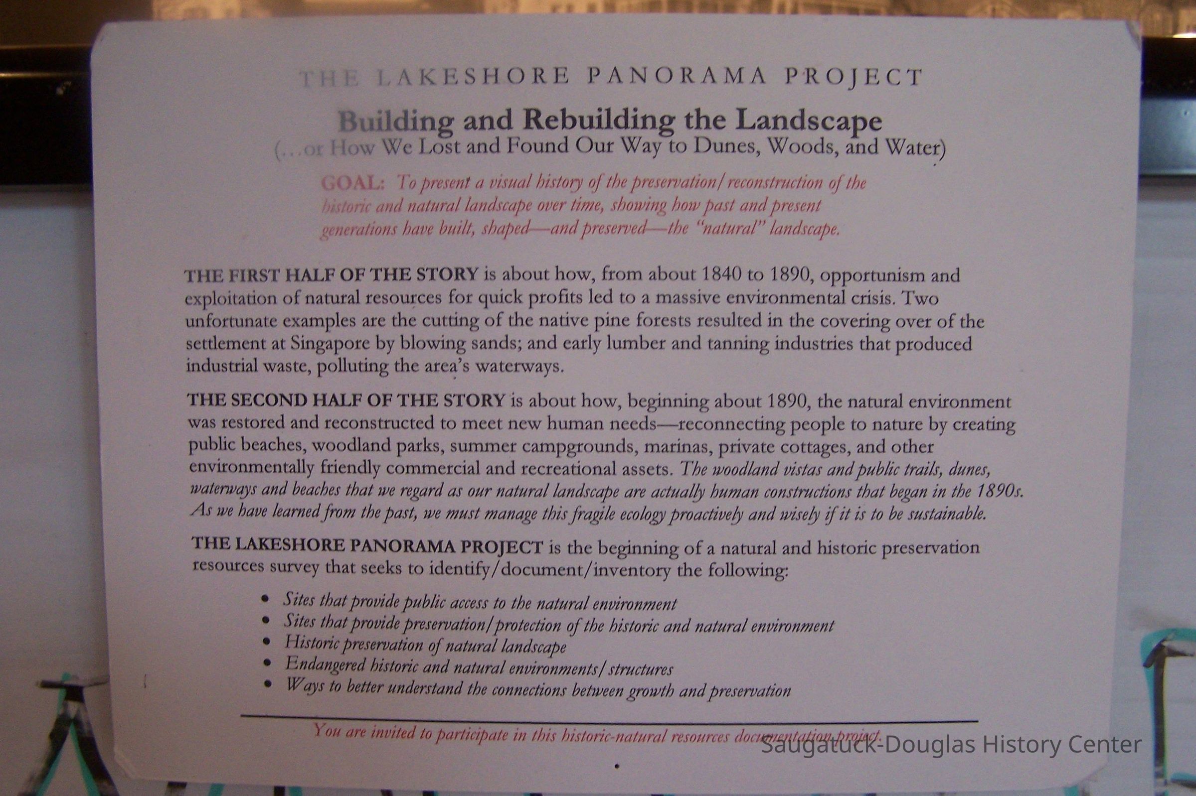
"The Lakeshore Panorama Project, Spring 2006" -- A CD containing 33 photos (in .tif and .jpg formats) of the Saugatuck-Douglas coast from the Saugatuck Dunes State Park to the washout south of Wiley Road. The photos were taken by Bill Werme from a plane piloted by Eddie Swane circa 2006.
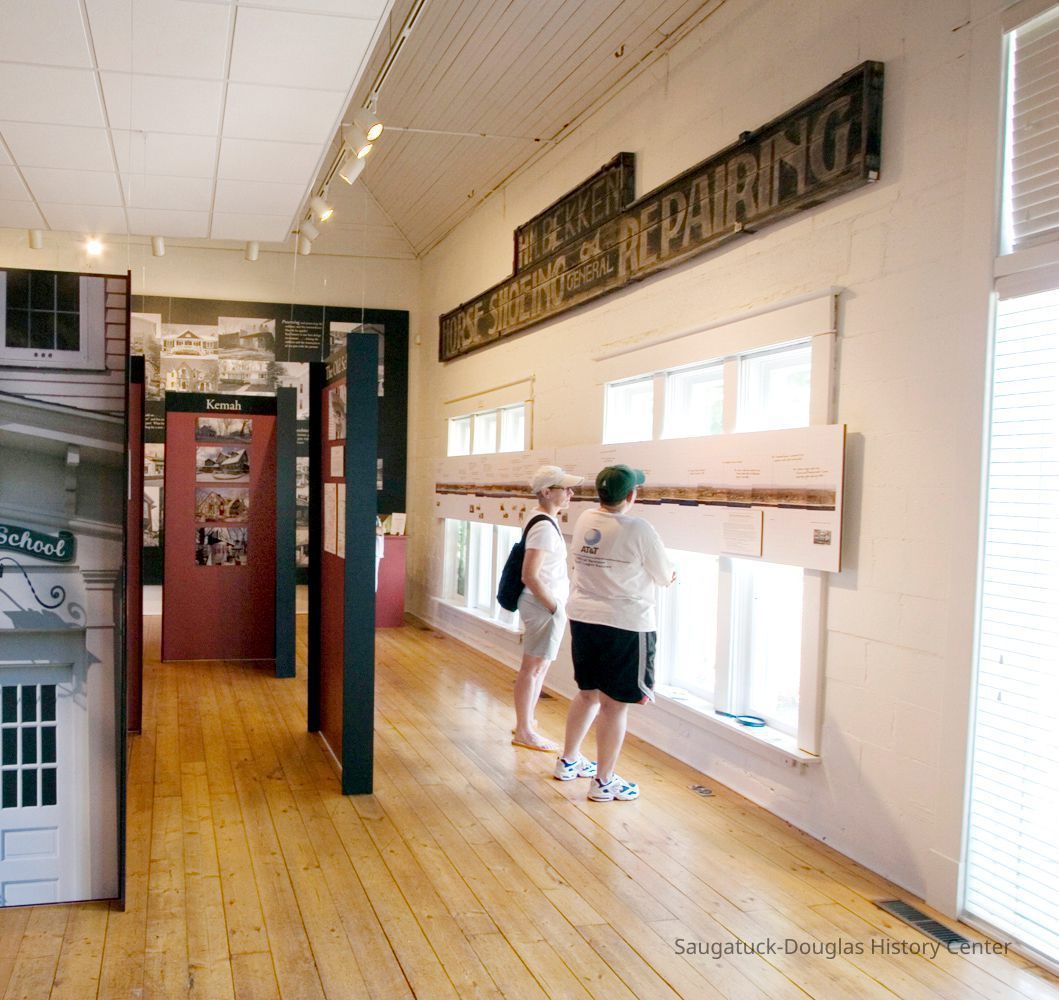
These images were assembled by Rick Vanderleek into a 16-foot aerial panorama photo that was displayed in the 2006 SDHS museum exhibit "Raising the Roof: The Second Story."Photograph Details
Type of Photograph
DigitalSubject Person or Organization
Mariners Cove & Tower Harbor Marina Condominiums, Mount Baldhead Gap-Filler Radar Annex 1956-present, Werme, Bill 1949-, Oval Beach 1936-present, Old Harbor/Channel piers pre-1906/Ox-Bow Lagoon, Saugatuck Harbor Natural Area/South Denison Property/Gay/Nude Beach;, Lakeshore Drive, Douglas, Saugatuck Dunes State Park, Saugatuck Harbor Piers/Channel 1906-presentCollection
SDHC Exhibits, Development, land, 1900 Lakeshore communityCataloged By
Winthers, SallyAcquisition
Accession
2023.18Acquisition Method
Found in CollectionLocation
Box
119 E CDs SDHC Book/Exhibit production 2Create Date
December 3, 2023Update Date
August 20, 2025