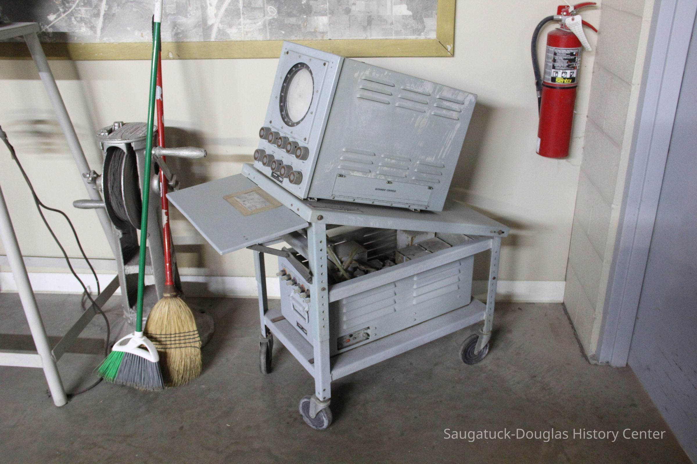
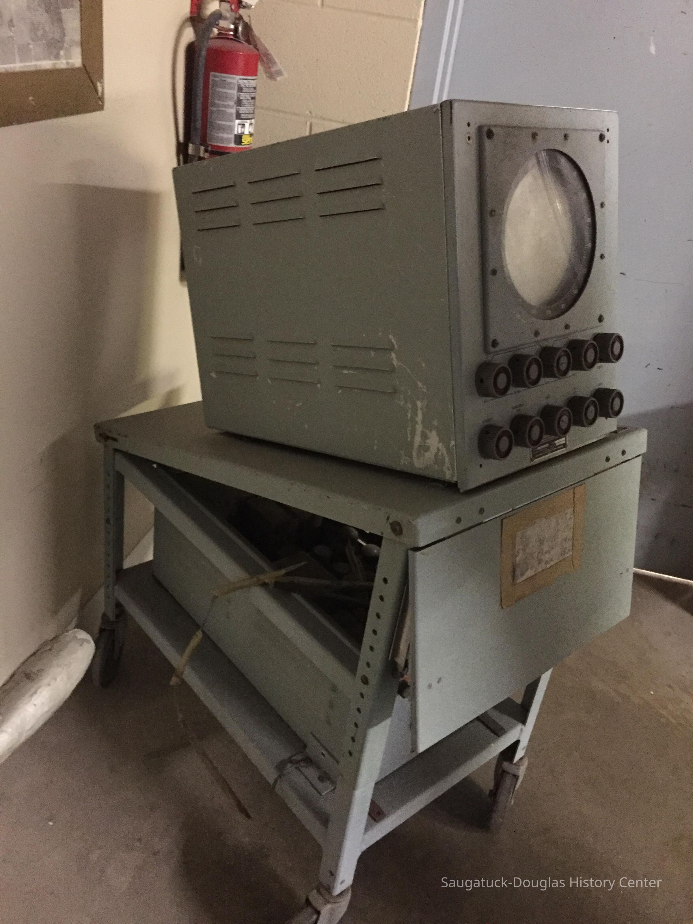
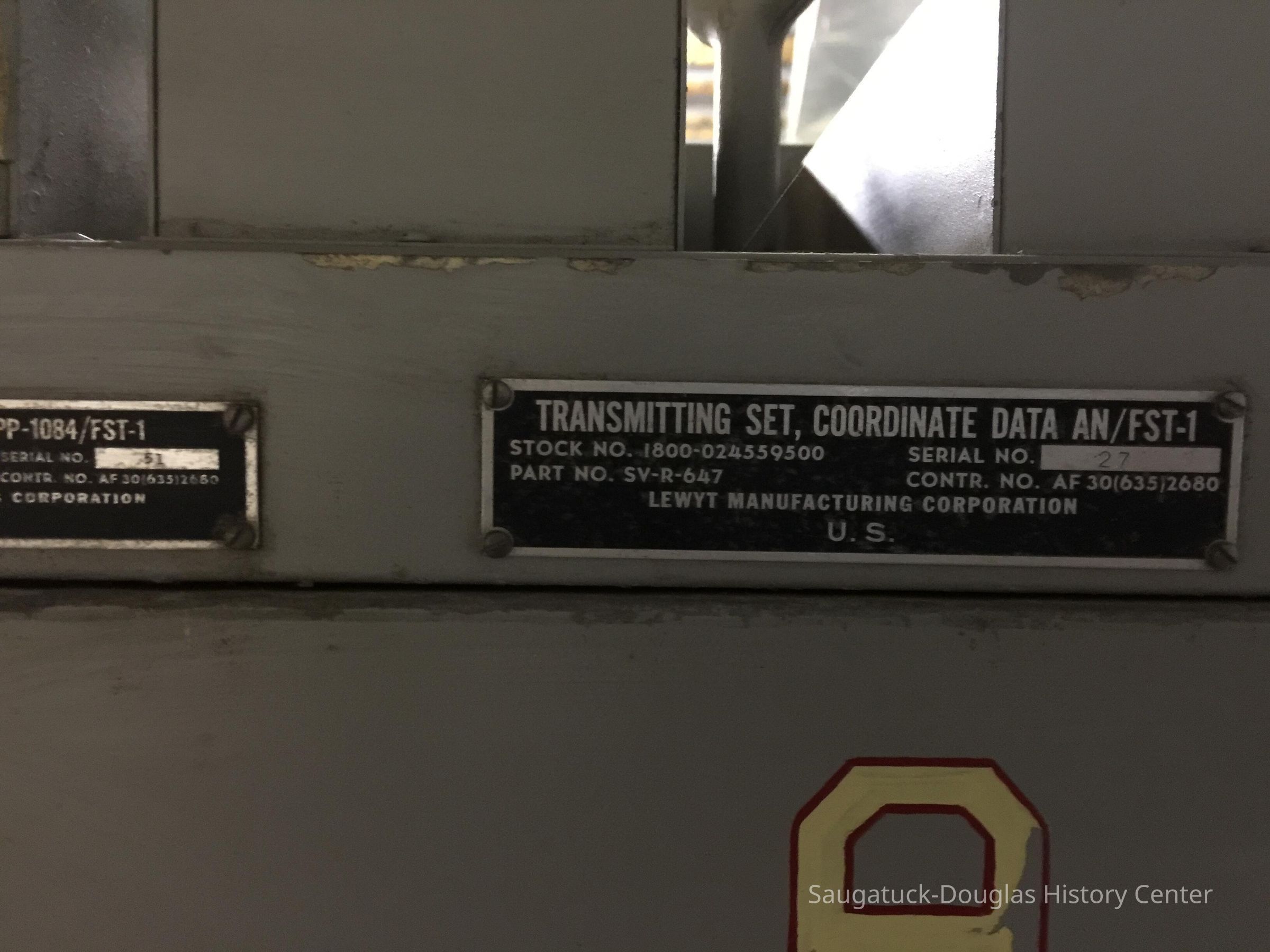
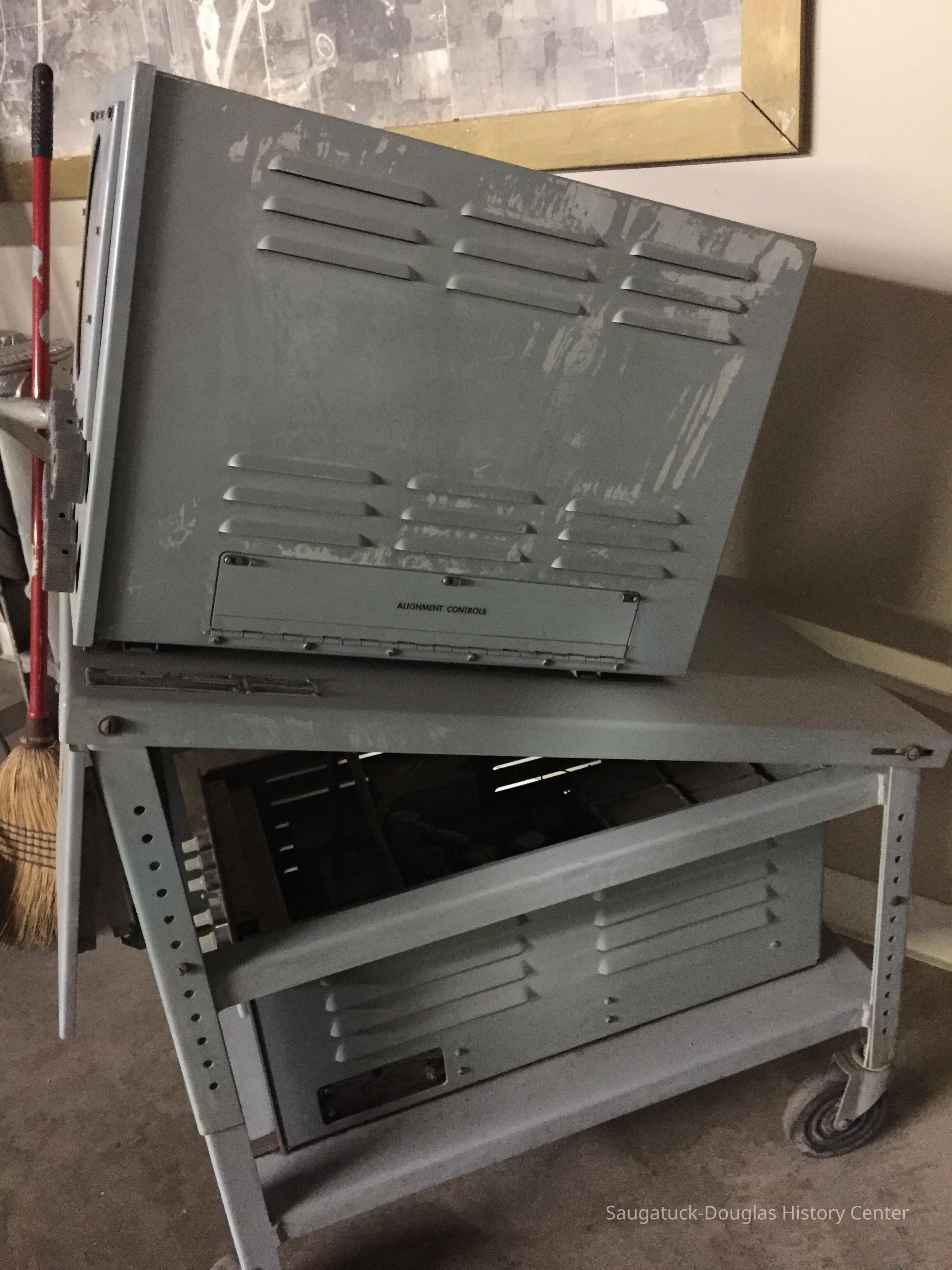
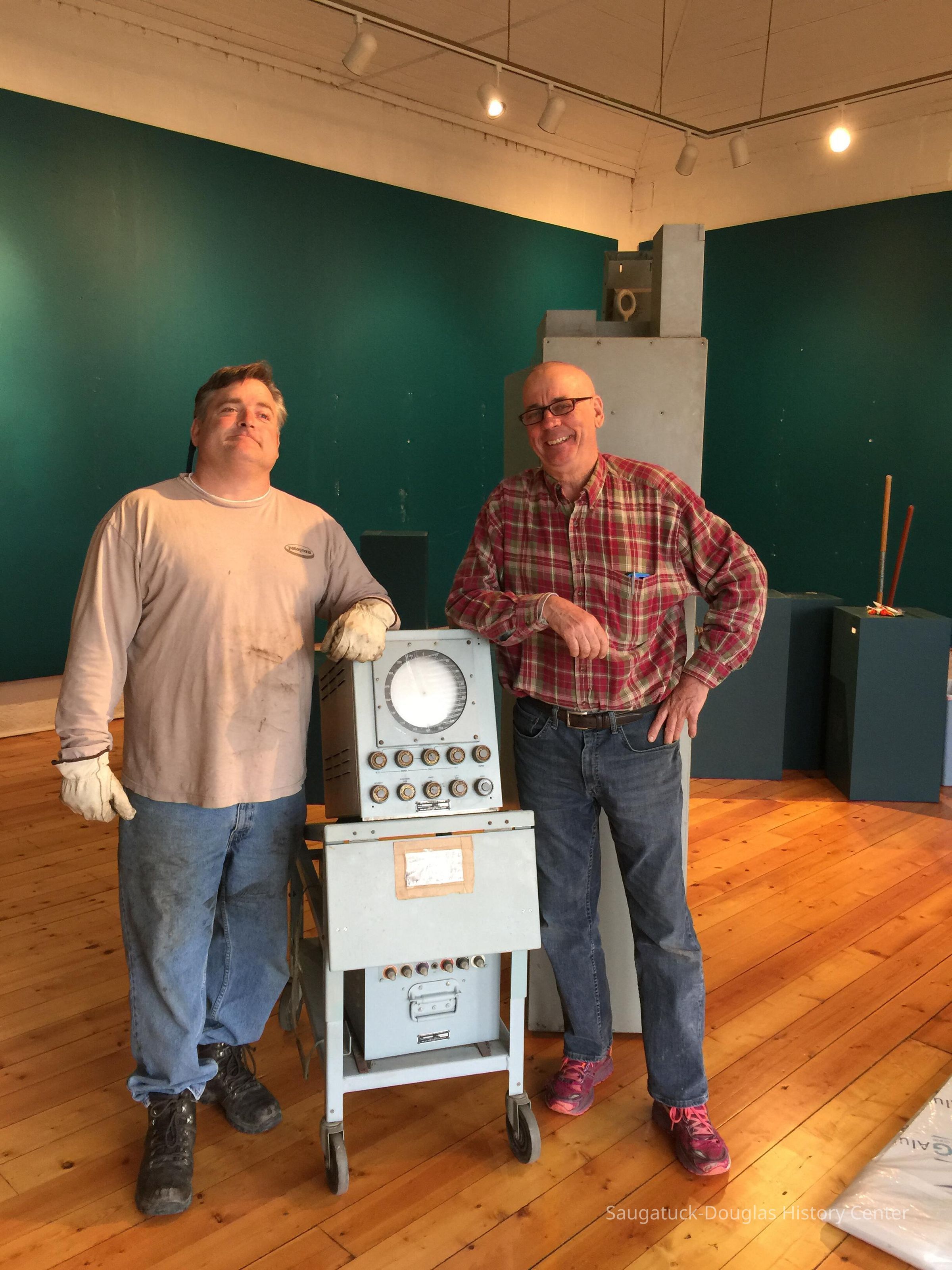
Mt. Baldhead Radar Azimuth and Range Indicator
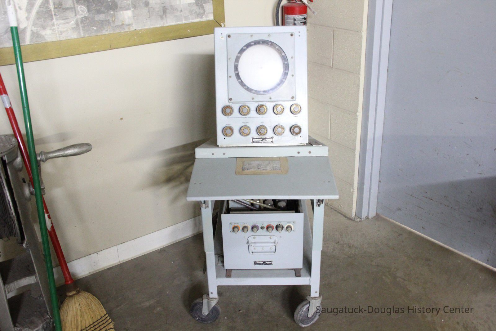
At Tower Marine prior to donation to SDHC, March 28, 2017
Photo by Chuck Gustafson
Name/Title
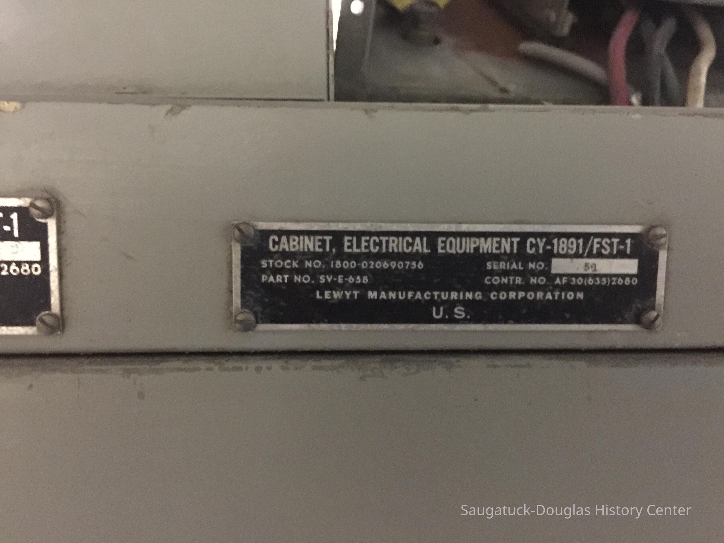
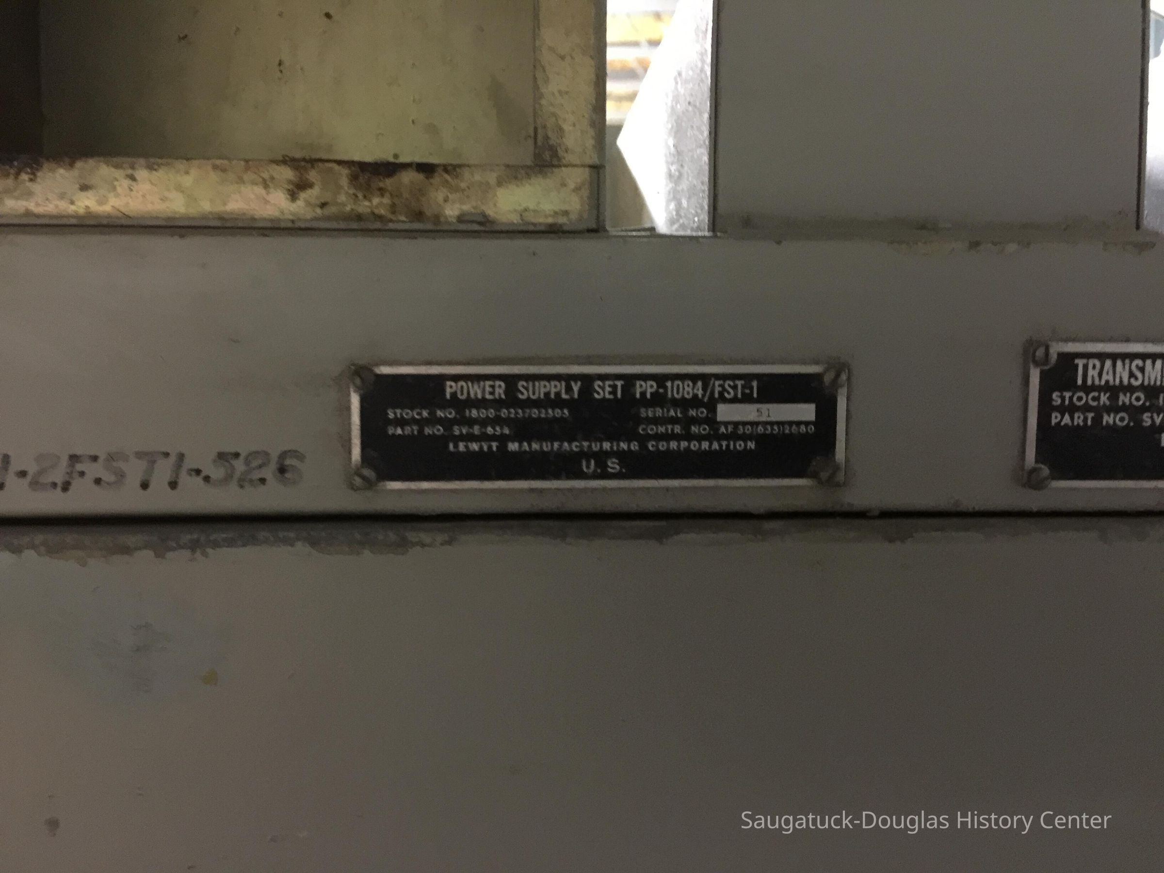
Mt. Baldhead Radar Azimuth and Range IndicatorEntry/Object ID
2021.47.05Description
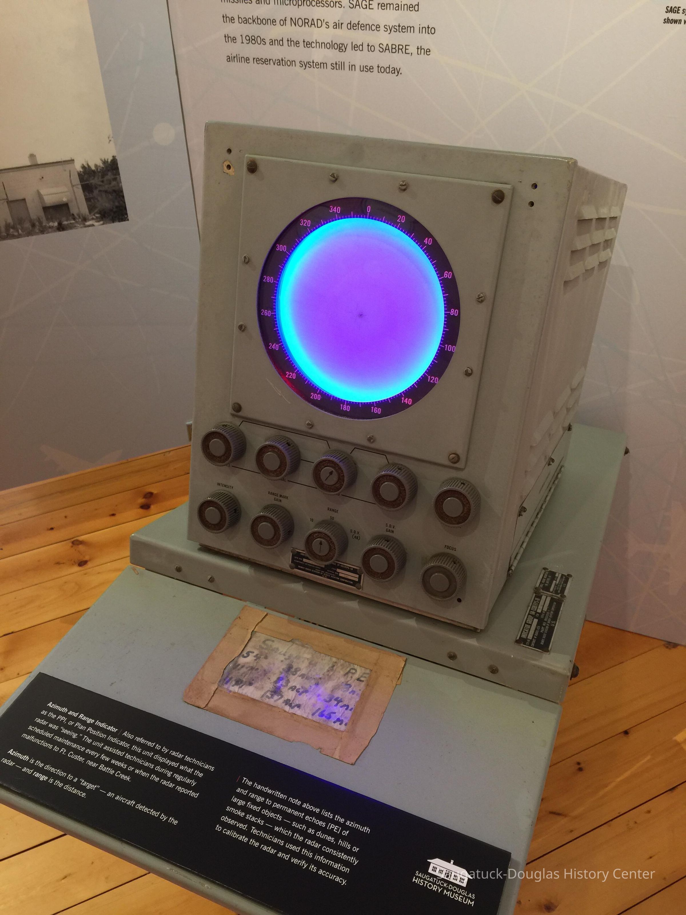
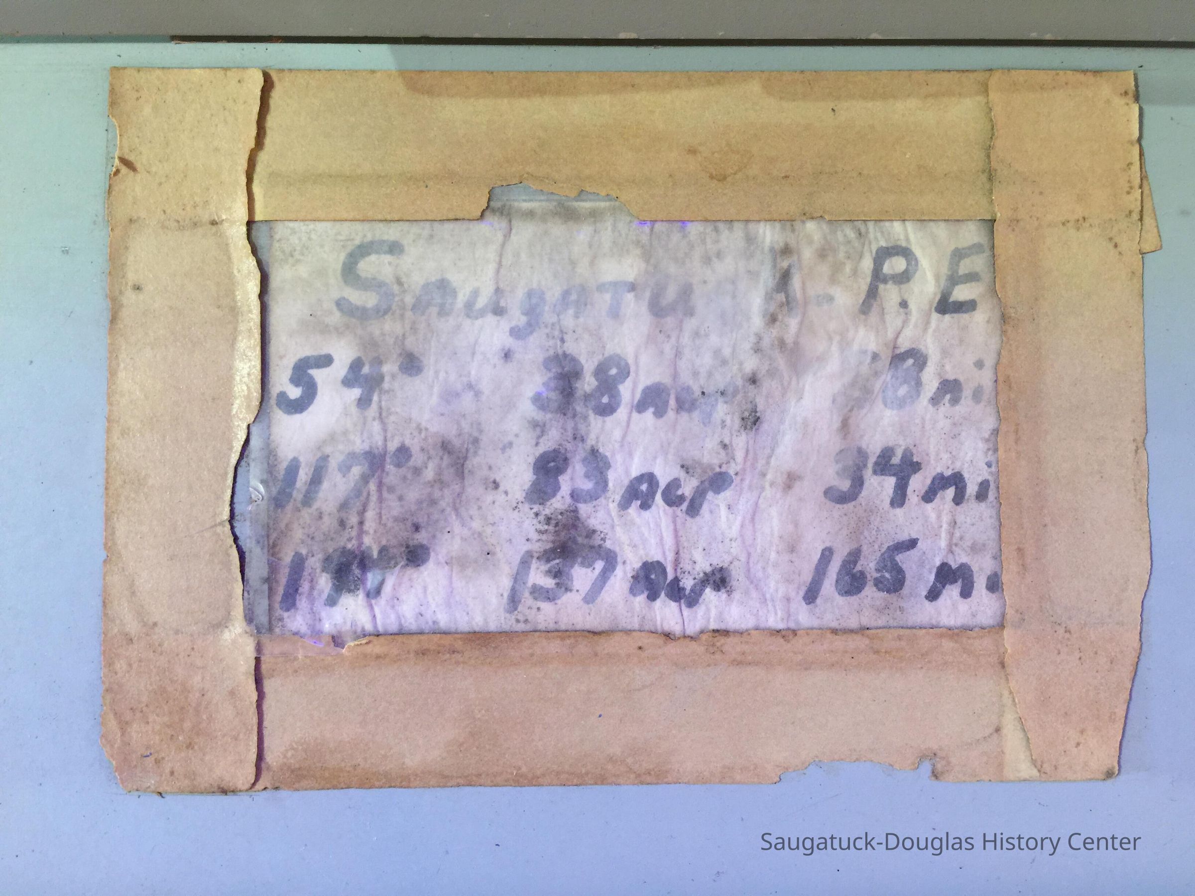
Also referred to by radar technicians as the PPI, or Plan Position Indicator, this unit displayed what the radar was “seeing.” The unit assisted technicians during regularly scheduled maintenance every few weeks or when the radar reported malfunctions to Ft. Custer, near Battle Creek. Azimuth is the direction to a “target” — an aircraft detected by the radar — and range is the distance. The handwritten note masking-taped to the fold-down counter lists the azimuth and range to permanent echoes [PE] of large fixed objects — such as dunes, hills or smoke stacks — which the radar consistently observed. Technicians used this information to calibrate the radar and verify its accuracy.Cataloged By
Winthers, SallyAcquisition
Accession
2021.47Source or Donor
Peterson, Roland J. "RJ" 1926-2020Acquisition Method
DonationLocation
History Museum at Mt. Baldhead Park/Pump House Museum
Saugatuck/Douglas Area CVB