Name/Title
National Flood Insurance Rate Map of SaugatuckEntry/Object ID
2022.88.30Description
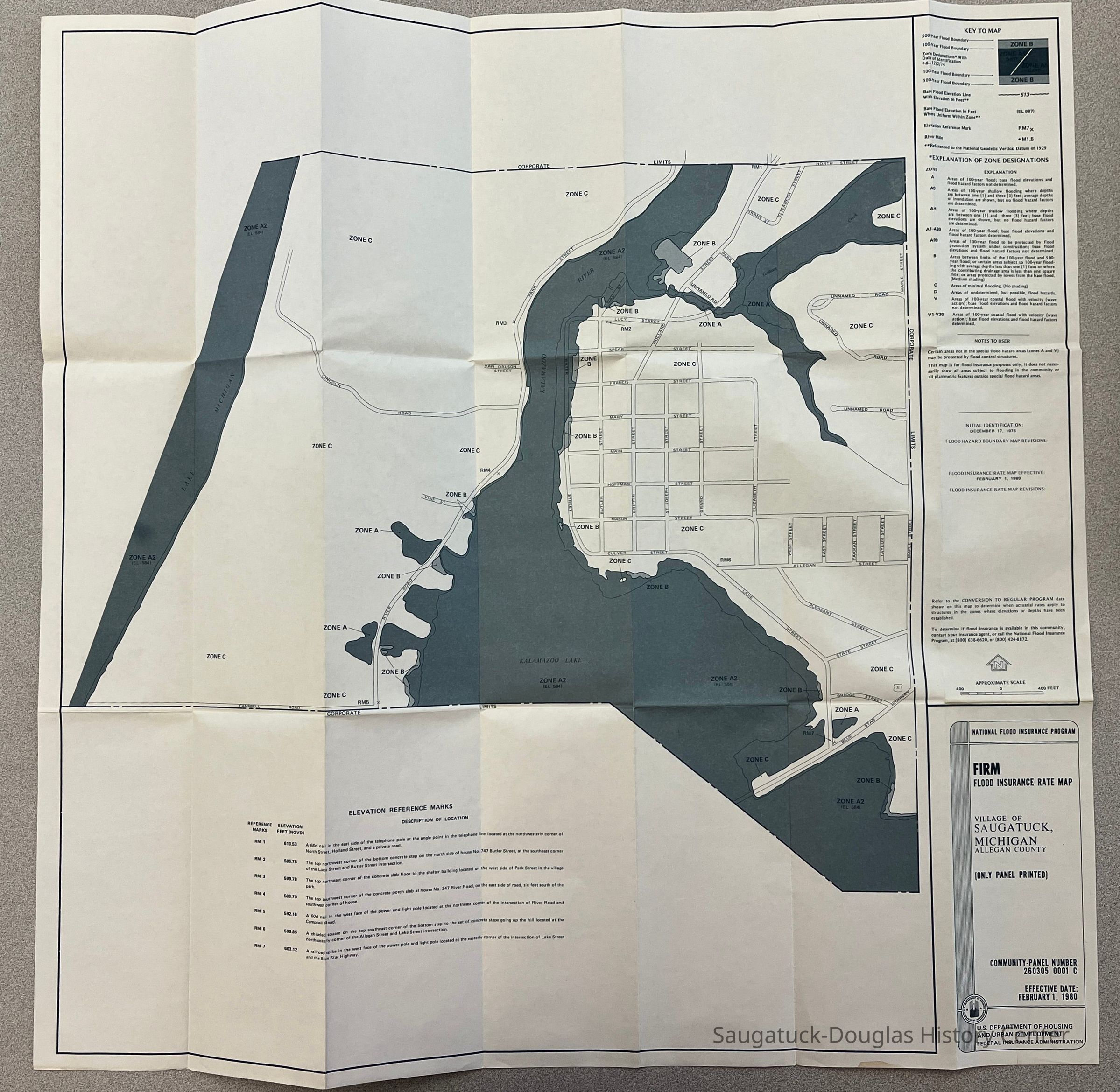
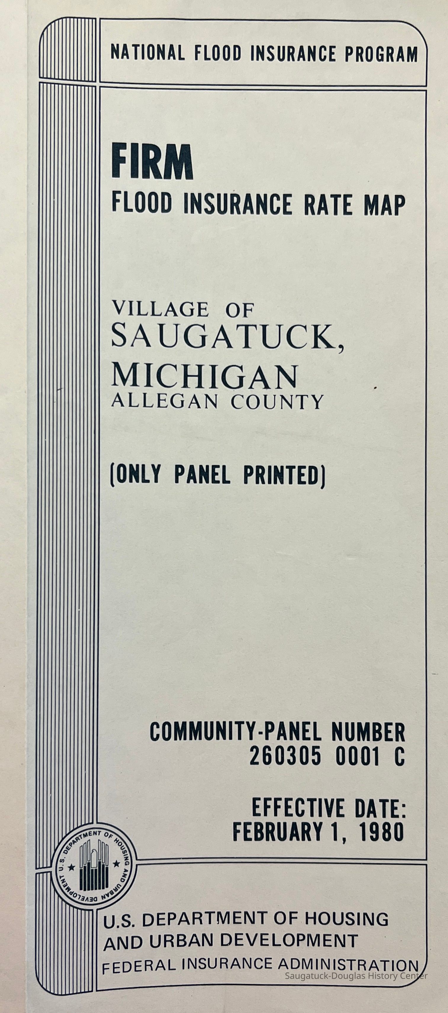
FIRM Flood Insurance Rate Map of the Village of Saugatuck MichiganContext
Shows 500- and 100-year flood boundaries, as understood in 1980. In addition, the map shows elevation and gives explanation of the various flood zones marked.Collection
Maps, Nature, ecology, the landscapeCataloged By
Winthers, SallyAcquisition
Accession
2022.88Acquisition Method
Found in CollectionDimensions
Dimension Description
folded 8.5x3.5"Height
26 inWidth
26 inLocation
Box
146 Weather and ClimateCondition
Overall Condition
ExcellentCreate Date
February 7, 2023Update Date
July 23, 2023