Name/Title
Kalamazoo River aerial 2004Entry/Object ID
2023.57.01Description
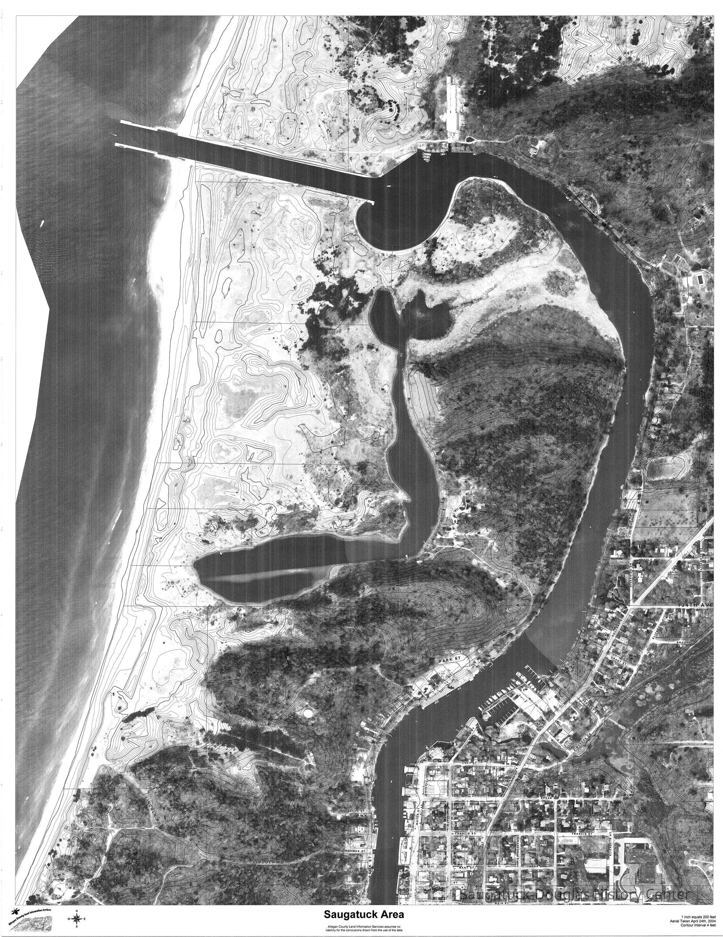
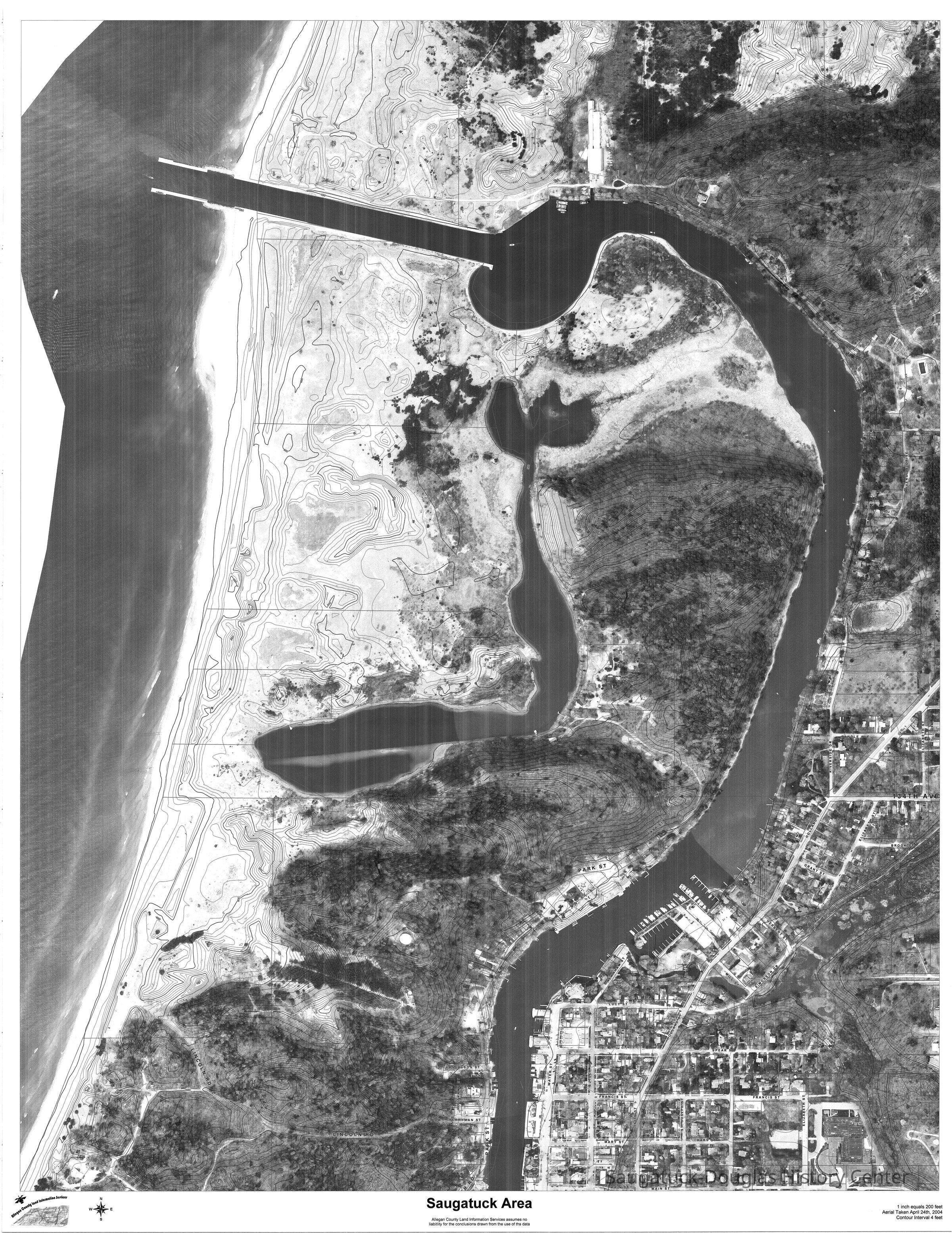
CD that contains one .tif file: a Allegan County land information services Saugatuck Area aerial photo that is overlaid with street and elevation data. Photo taken April 24, 2004. 1 inch equals 200 feet. Contour interval 4 feet.
The image is in black and white and covers from the dune lands directly north of the Kalamazoo channel to Main Street in Saugatuck. The original image is 34x44 inches at 400ppi looks much clearer than the low-res preview attached to this entry.Photograph Details
Type of Photograph
Digital scanSubject Person or Organization
Old Harbor/Channel piers pre-1906/Ox-Bow Lagoon, Saugatuck Harbor Natural Area/South Denison Property/Gay/Nude Beach;, Saugatuck Harbor Piers/Channel 1906-presentCollection
Development, land, Nature, ecology, the landscape, NauticalCataloged By
Winthers, SallyAcquisition
Accession
2023.57Acquisition Method
Found in CollectionLocation
Box
119 B CDs Donated ContentCreate Date
December 5, 2023Update Date
July 19, 2025