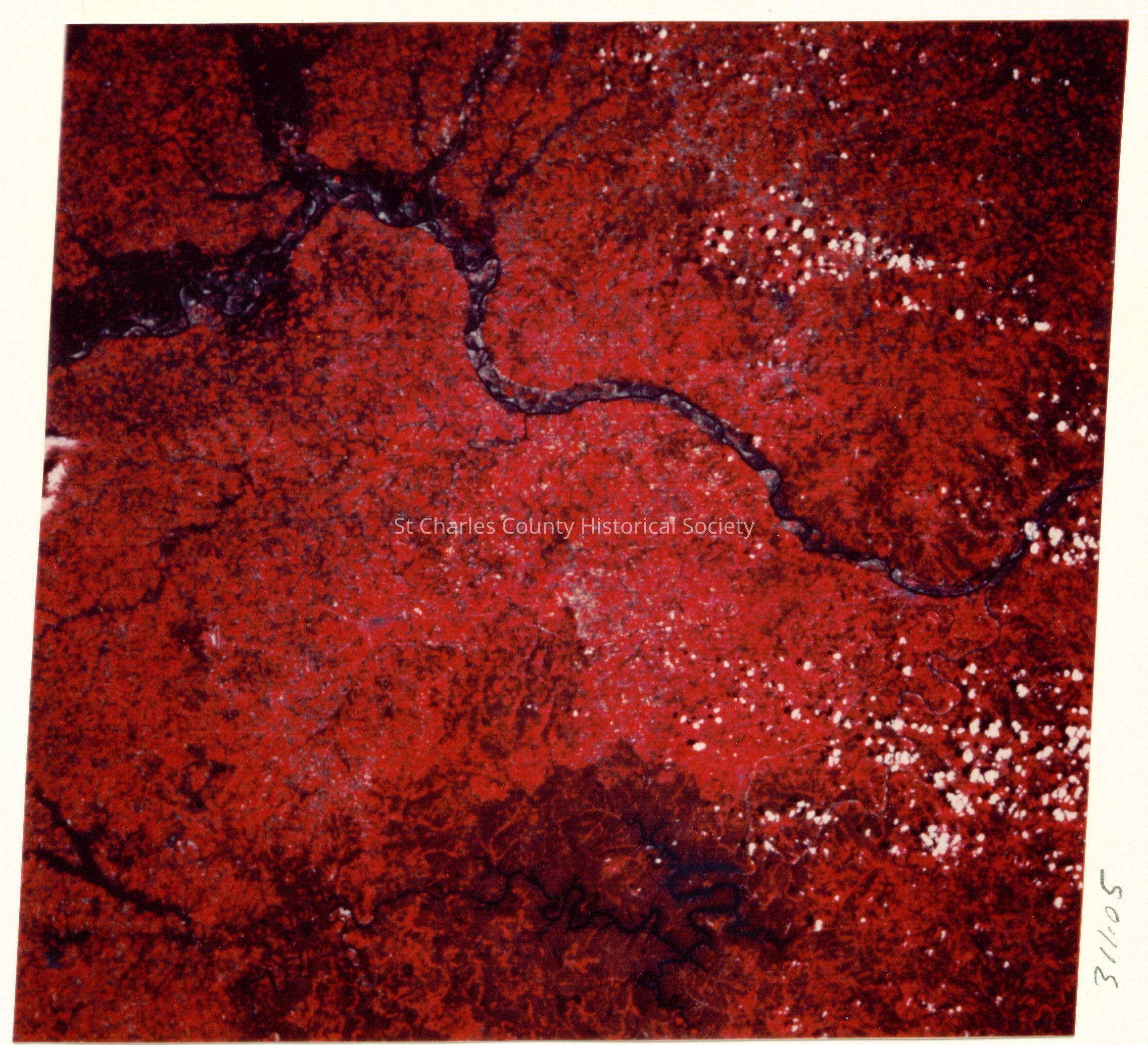
Satellite photo of the Missouri River from center right to upper left.
Photograph

-

SCCHS

Copyright: St. Charles County Historical Society; Origsize: 6 1/2  x 4 1/4; Origformat: Print-Photographic

Copyright: St. Charles County Historical Society; Origsize: 6 1/2 x 4 1/4; Origformat: Print-Photographic

Name/Title

Satellite photo of the Missouri River from center right to upper left.

Entry/Object ID

311.05

Description

Satellite photo of the Missouri River from center right to upper left. Lake of the Ozarks is in the lower center area. Boone (Booneville) is south of the river west of Columbia and Franklin is north across the river from Booneville. NASA infrared LANDSAT photo R34, P26. - The Booneslick Trail

Create Date

July 27, 2007

Update Date

March 27, 2026