Copyright: St. Charles County Historical Society; Origsize: 6 1/2 x 4 1/4; Origformat: Print-Photographic
Name/Title
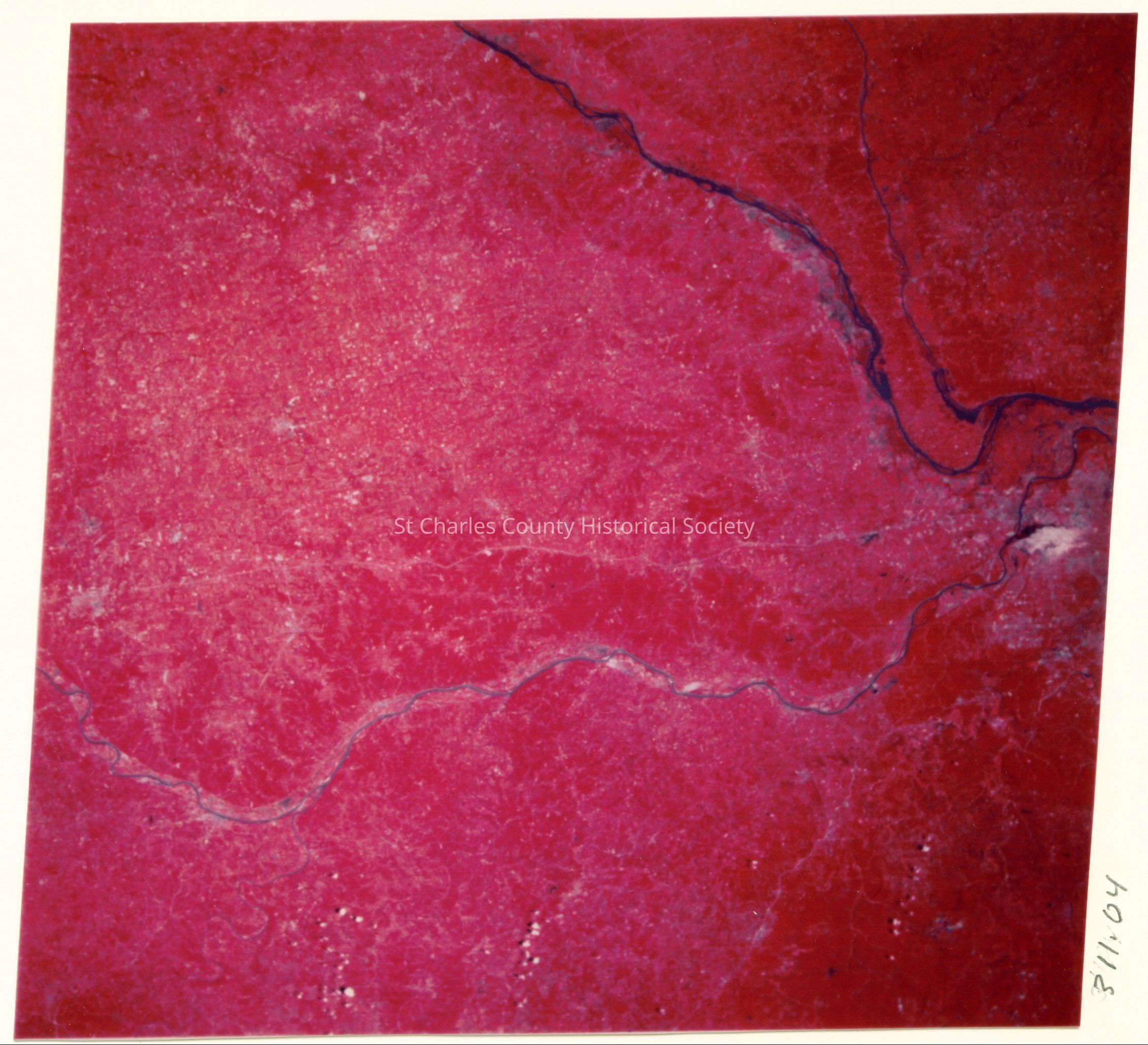
Satellite photo of the Missouri River Valley from 570 miles up.
Entry/Object ID
311.04
Description
Satellite photo of the Missouri River Valley from 570 miles up. Mississippi and Illinois Rivers are at the right and the Missouri River runs below them. Highway 70 is the horizontal line above the Missouri. Columbia is on I70 at the center and Jefferson City is on the Missouri below Columbia. NASA infrared LANDSAT photo R34, P27 - The Booneslick Trail