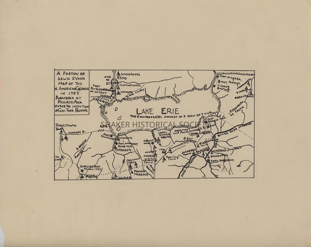
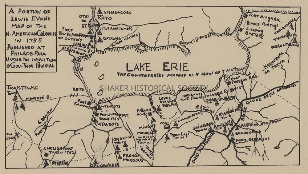
A Portion of Lewis Evans Map of the N. American Colonies in 1755
Name/Title
A Portion of Lewis Evans Map of the N. American Colonies in 1755Entry/Object ID
1.3.2Tags
1700s, Indigenous PeoplesDescription
A hand-drawn ink map by unknown creator of the Lake Erie region copied from Lewis Evans' 1755 map of the North American colonies, titled A General Map of the Middle British Colonies in America. The map highlights waterways, forts, and Native American settlements near Northeast Ohio prior to widespread colonization and deforestation in Ohio.Category
Maps
Archives