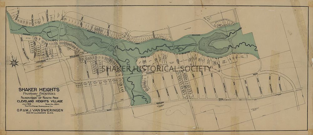
Shaker Heights Parkway Frontages and Subdivision of Southside Cleveland Heights Village, 1909
Name/Title
Shaker Heights Parkway Frontages and Subdivision of Southside Cleveland Heights Village, 1909Entry/Object ID
4.1.6Tags
1900s, 20th Century, Boulevard Neighborhood, Malvern Neighborhood, Shaker Lakes, Van SweringensDescription
Color real estate subdivision map for Shaker Heights parkway frontages and southern Cleveland Heights Village by the F. A. Pease Engineering Co. for O.P. and M.J. Van Sweringen. The Shaker Parklands, including Lower Lake and Upper Lake, are printed in green. The map predates the establishment of Shaker Township in 1911 and the incorporation of Shaker Heights Village in 1912.Collection
Map CollectionCategory
Maps
Archives