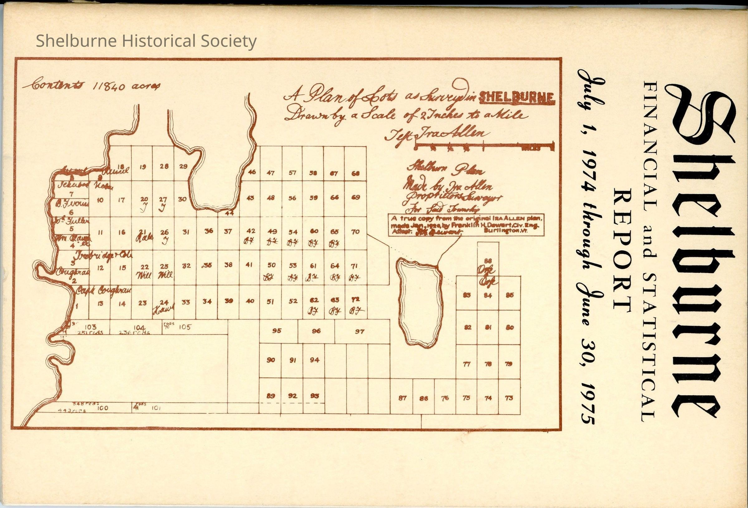
Shelburne Plot Map taken from Shelburne Vermont Town Report Cover 1974-1975

Name/Title

Shelburne Plot Map taken from Shelburne Vermont Town Report Cover 1974-1975

Entry/Object ID

2023.00.199

Description

The cover of the Shelburne Town Report 1974-1975 has this map. The original map location is unknown at this time [20 May 2025 David Boucher].

Lexicon

Nomenclature 4.0

Nomenclature Secondary Object Term

Map

Nomenclature Primary Object Term

Cartograph

Nomenclature Sub-Class

Graphic Documents

Nomenclature Class

Documentary Objects

Nomenclature Category

Category 08: Communication Objects

Map Details

Maker or Creator

Dewart, Franklin

Scale

2 inches to a Mile

Area or Region

Town

Shelburne

State/Province

Vermont

* Untyped Area or Region

United States

Continent

North America

Map Notes

From the report cover: "Shelburn Plan, Made by Ira Allen proprietors survey for said township", "A true copy from the original Ira Allen plan, made Jan 1920 by Franklin Dewart, Civ. Eng., Burlington, VT."

Created By

Boucher, David

Create Date

May 20, 2025

Updated By

Boucher, David

Update Date

May 20, 2025