Maker or Creator
UnkownArea or Region
Town
ShelburneState/Province
Vermont* Untyped Area or Region
United StatesContinent
North AmericaDate Published
1867Map Notes
From Shelburne News article, Diana Vachon, Shelburne Town Clerk, 28 Oct 2021:
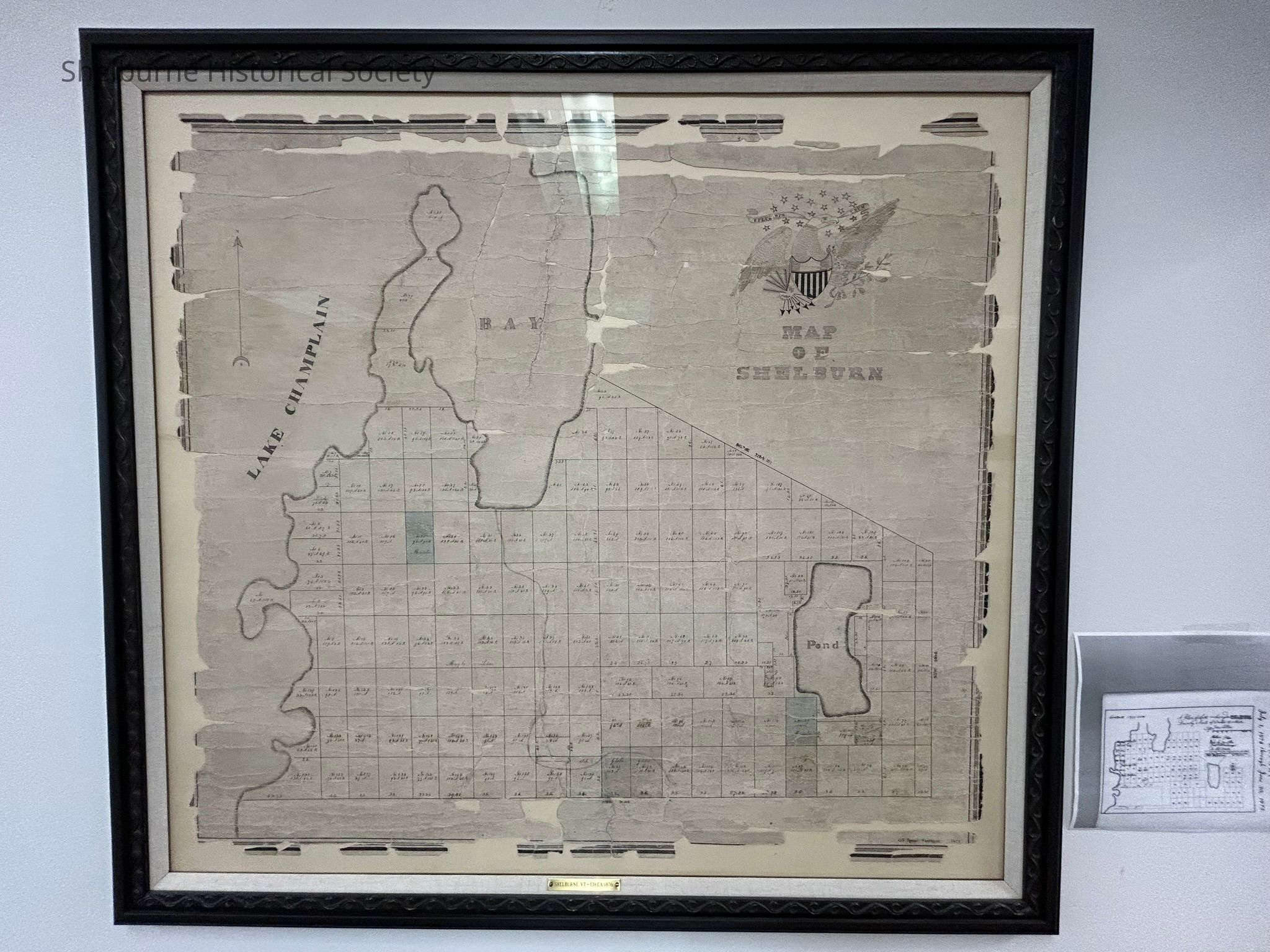
Shelburne’s original lotting map of 1876 is now fully restored, framed and hanging in the town clerk’s office.
Kofile Preservation in Essex did an amazing job restoring our map. They were able to remove many of the stains and tape adhesives that were used to hold it together over the years. Furchgott-Sourdiffe Gallery in Shelburne did a beautiful job framing the map using museum-grade preservation materials.
The money to cover these expenses comes from the town’s preservation account, funded by recording fees (not taxpayer dollars). To record a document, it costs $15 per page, and $4 is set aside in the preservation fund. When we save enough money, we use it to preserve our land records.
According to the “The History of Shelburne,” the boundaries of Shelburne were in dispute for many years. In 1794, the Vermont Legislature made many changes in Chittenden County. This was the year Shelburne acquired the very end of Shelburne Point, which was known as Pottier’s Point and which used to belong to Burlington. In 1848 the boundary line between Shelburne and St. George was finally established.
The charter of Shelburne clearly stated it shall consist of 23,500 acres. While there were six miles of lake frontage, the unclaimed land narrowed as it ran east from the lake. This accounts for the triangular shape of Shelburne.
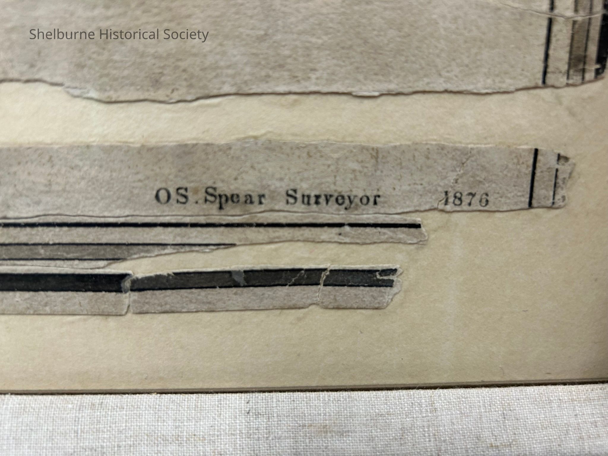
According to Lisa Mann, assistant town clerk for over 30 years, in 1798, Ebenezer Cobb calculated the metes and bounds to determine there were only 14,272 acres. The 1876 map was drawn by O.S. Spear based on Cobb’s survey.
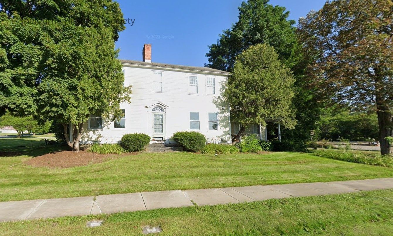
O.S. Spear lived in the farmhouse at 2517 Shelburne Road just north of old Sirloin Saloon.