Name/Title
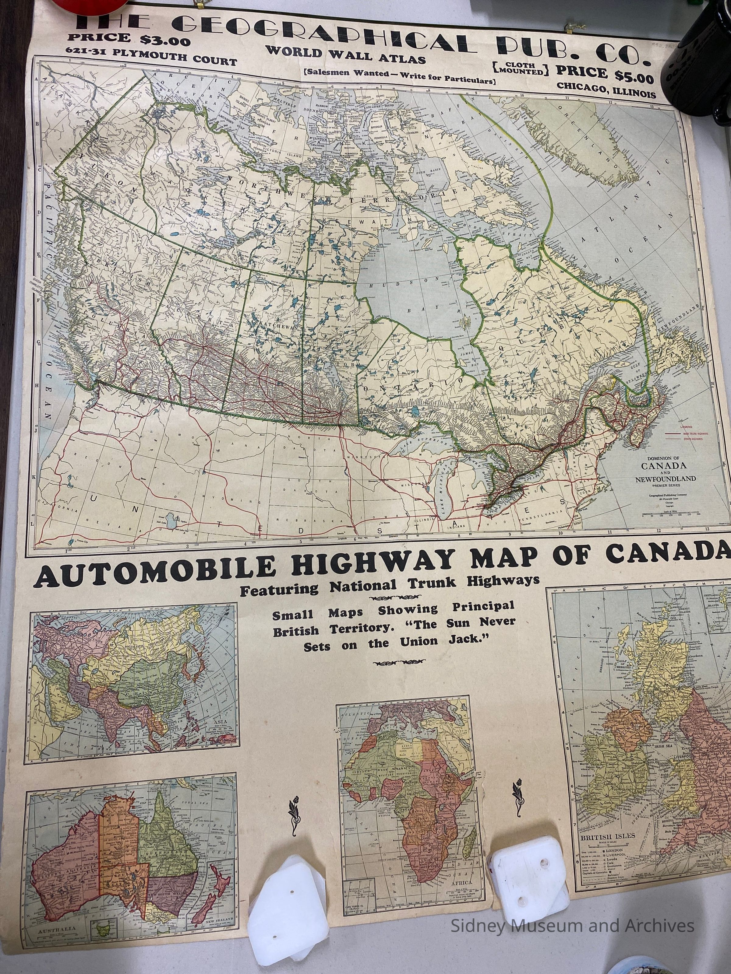
a) WORLD WALL ATLAS (FRONT); UNITED STATES (BACK); b) EUROPE, NORTH AMERICA, SOUTH AMERICA (FRONT); AUTOMOBILE HIGHWAY MAP OF CANADA, ASIA, AFRICA, AUSTRALIA AND BRITISH ISLES (BACK)Entry/Object ID
1992.038.001 a-bDescription
Two hanging wall maps fastened together at the top with metal strip for hanging; published by The Geographical Publishing Co., 621-31 Plymouth Court, Chicago, Illinois; maps are in colour;
a) front - "WORLD WALL ATLAS"; price $3.00; photos of world leaders in black and white around the borders; world map in a circle with flags around;
back - "UNITED STATES"
b) front - "EUROPE, NORTH AMERICA, SOUTH AMERICA" ; scenic pictures around the border in black and white; price $3.00;
back - "AUTOMOBILE HIGHWAY MAP OF CANADA, ASIA, AFRICA, AUSTRALIA AND THE BRITISH ISLES";Acquisition
Source (if not Accessioned)
Gardener, Art and FlorenceNotes
Accession Date: 04-Jan-92
Mode of Acquisition: giftLexicon
Nomenclature 4.0
Nomenclature Secondary Object Term
MapNomenclature Primary Object Term
CartographNomenclature Sub-Class
Graphic DocumentsNomenclature Class
Documentary ObjectsNomenclature Category
Category 08: Communication ObjectsCreated By
DeCoste, ClaireCreate Date
September 10, 1995Update Date
August 7, 2025