Name/Title
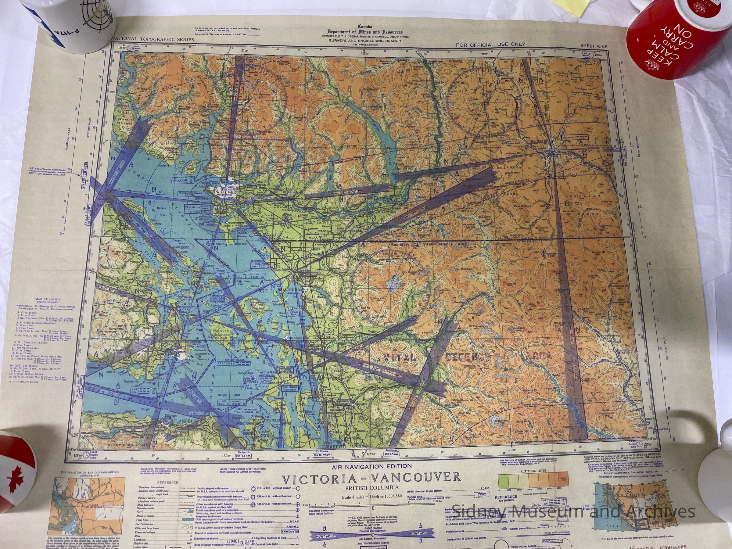
Air Navigation Edition Victoria-VancouverEntry/Object ID
2022.003.047Description
Canada Department of Mines and Resources. Honourable T A Crear, minister, G Camsell, deputy minister. Surveys and Engineering Branch. National Topographic Series, For Official Use only. Scale: 8 miles to 1 inch. Shows Radio Ranges. Compiled, drawn, and printed at the office of the Surveyor General and Chief, Hydrographic Service. Ottawa 1938, from whom additional copies of this map may be obtained.Date of Publication. Sept. 1943. Important corrections made Nov. 1943. Altitude Tints. Sheet 92 SE. Marine Lights. Vital Defence Area.Acquisition
Notes
Accession Date: 14-Jul-22
Mode of Acquisition: FoundLexicon
Nomenclature 4.0
Nomenclature Secondary Object Term
MapNomenclature Primary Object Term
CartographNomenclature Sub-Class
Graphic DocumentsNomenclature Class
Documentary ObjectsNomenclature Category
Category 08: Communication ObjectsLegacy Lexicon
Object Name
air navigation mapCreated By
Lamb, DebbieCreate Date
July 14, 2022Updated By
Michael GoodchildUpdate Date
December 31, 2025