Name/Title
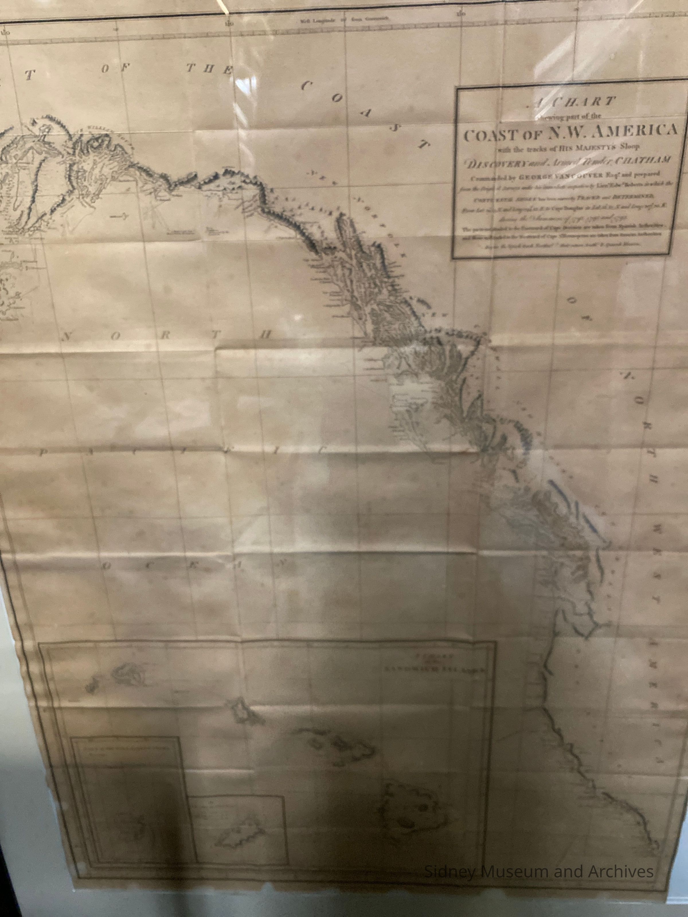
Frame. Tracks of "Discovery" & "Chatham"Entry/Object ID
1995.095.001Description
Framed chart of Northwest Coast of America, showing the part from Cooks Inlet south - "with the tracks of His Majety's sloop 'Discovery' and armed tender 'Chatham' commanded by George Vancouver, Esq..........during the summers of 1792, 1793, and 1794." Inserts of the Sandwich Islands. This chart has been unfolded (folds still evident), mounted on white underlay with a wide cream matting.
The chart is done with black ink on ecru paper. the frame is dark brown with a marbleized lighter brown inset. The backing is fairly heavy natural-coloured cardboard held in place by clips. Has a wire for hanging.Acquisition
Notes
Accession Date: 08-Nov-95
Mode of Acquisition: foundLexicon
Nomenclature 4.0
Nomenclature Primary Object Term
ChartNomenclature Sub-Class
Graphic DocumentsNomenclature Class
Documentary ObjectsNomenclature Category
Category 08: Communication ObjectsCreated By
Garnham, PeterCreate Date
July 14, 1997Update Date
September 17, 2025