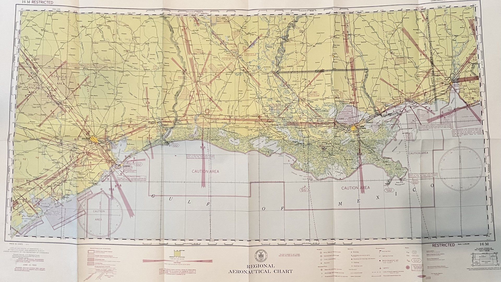
Name/Title
Flight Map 1944Entry/Object ID
2022.1.135Tags
Camp Claiborne, Map, WWII, World War IISecondary Title
Regional Aeronautical ChartDescription
Map of Louisiana and Gulf of MexicoContext
Map showed military camps, flight zones, and restricted areas during World War II.Collection
Camp Claiborne Collection, World War II CollectionAcquisition
Accession
2022.1Source or Donor
Douglas J. RhodesAcquisition Method
GiftCredit Line
*title of entry*, Rhodes Brothers Collection, *Accession Number*, *Exhibit Title (if it's being displayed)*, Southern Forest Heritage Museum, Long Leaf, LA.Map Details
Maker or Creator
U.S. Coast and Geodetic Survey Under Authority of the Secretary of CommerceOther Names and Numbers
Other Numbers
Number Type
DriveOther Number
SFHM.CClaiborne.2023.Drive.2022.1.135