Name/Title
Map of the Coasts of Louisiana, Mississippi, and Texas from June 22, 1944Entry/Object ID
2022.1.53Tags
Map, Public, World War II, WWIIDescription
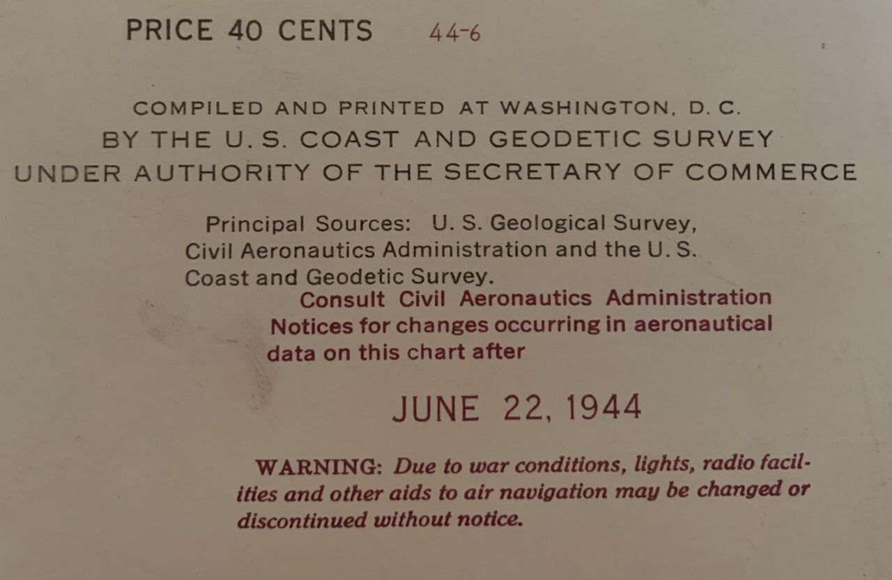
A complete map of the coasts of Louisiana, Mississippi, and Texas from June 22, 1944. The map was compiled and printed in Washington D.C. by the U.S. Coast And Geodetic Survey under the authority of the Secretary of Commerce. The map highlights some of the danger areas and training areas of the U.S. military.Context
This map shows how Louisiana looked during June of 1944.Collection
Rhodes Brothers CollectionsAcquisition
Accession
2022.1Source or Donor
Douglas J. RhodesAcquisition Method
GiftCredit Line
*title of entry*, Rhodes Brothers Collection, *Accession Number*, *Exhibit Title (if it's being displayed)*, Southern Forest Heritage Museum, Long Leaf, LA.