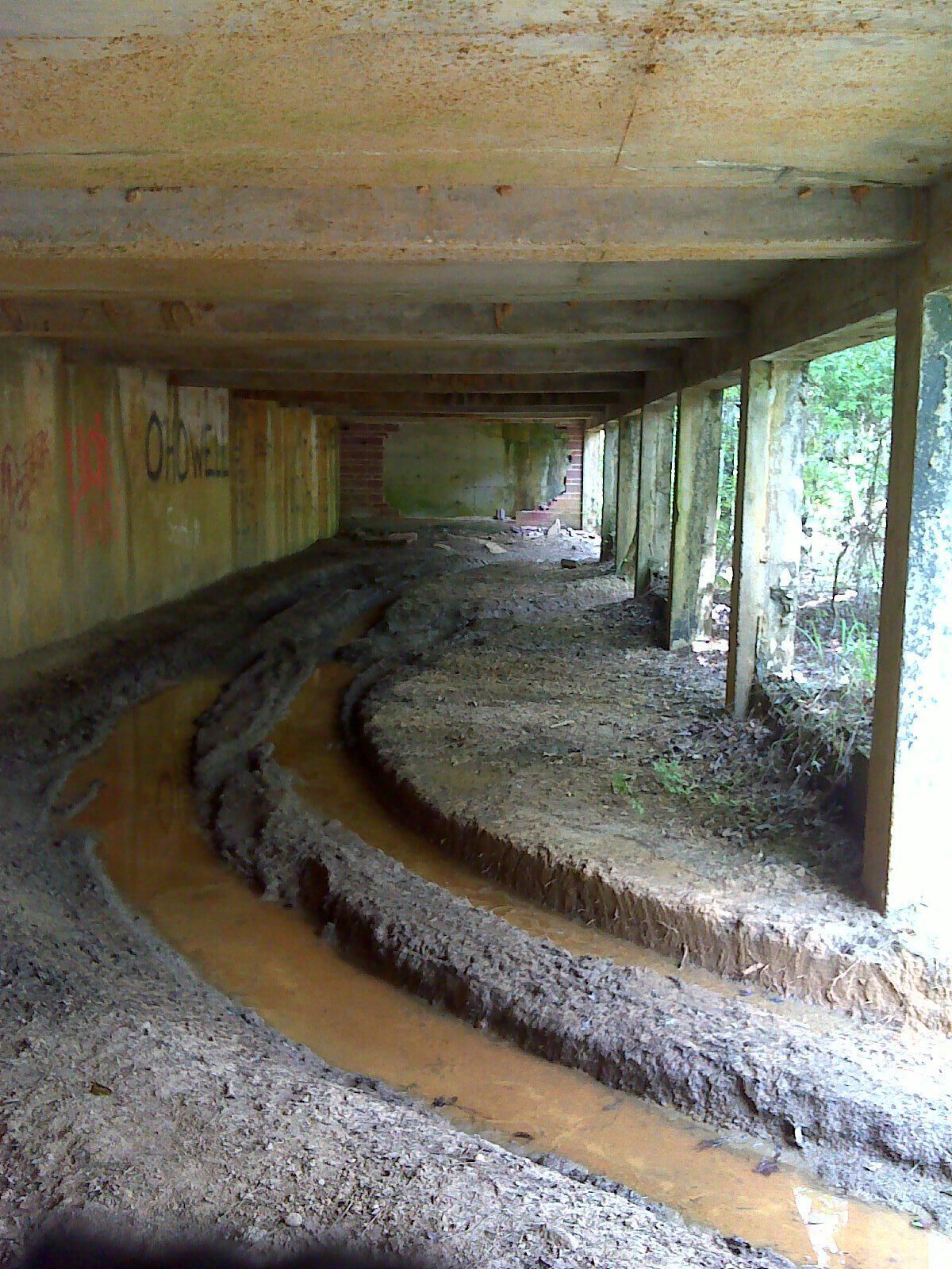
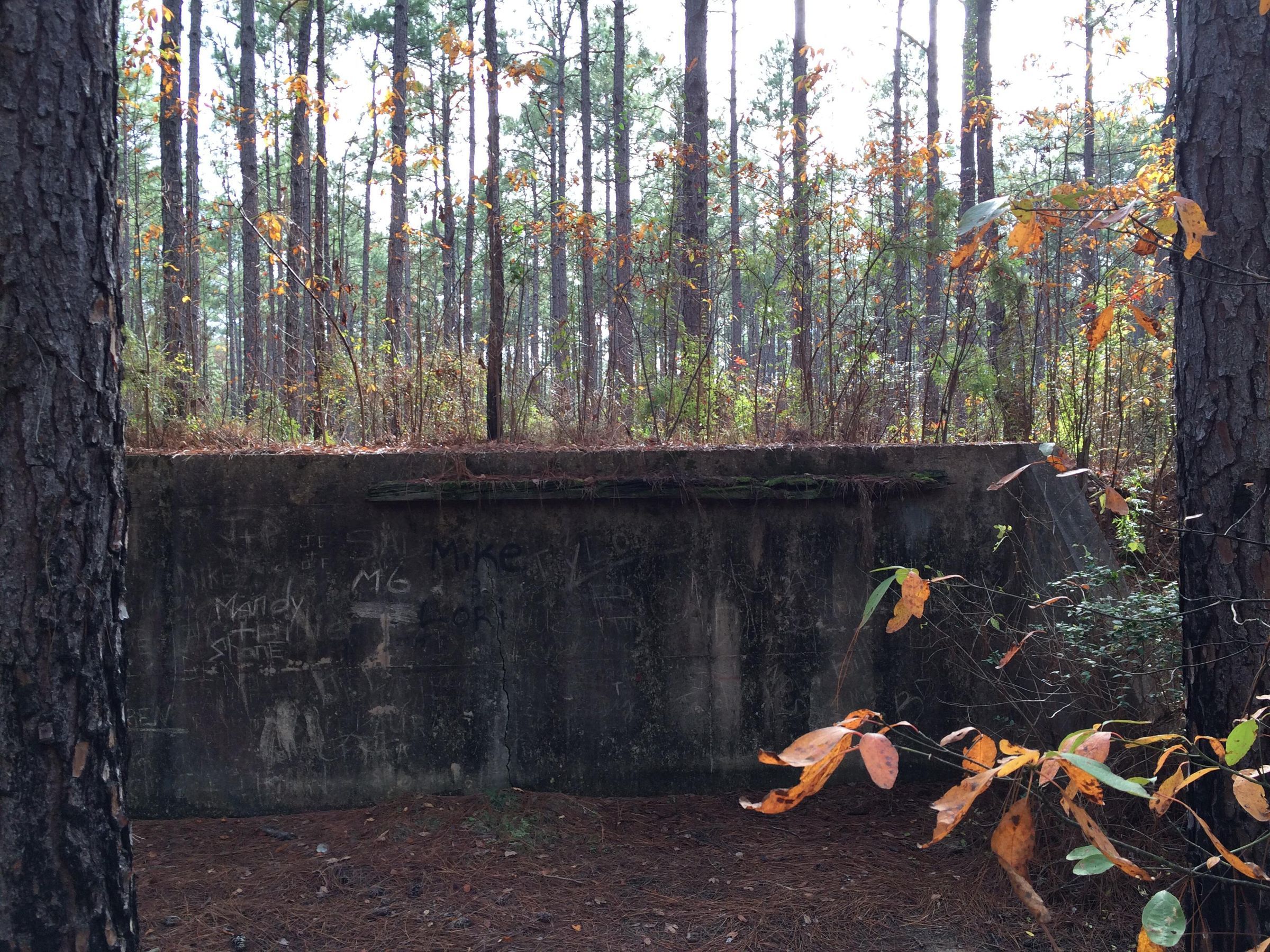
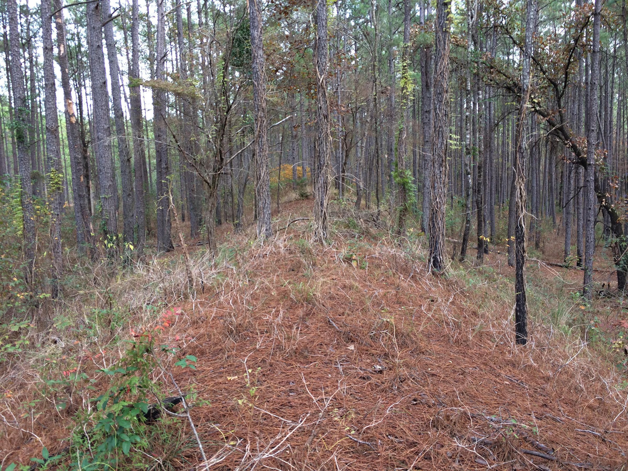
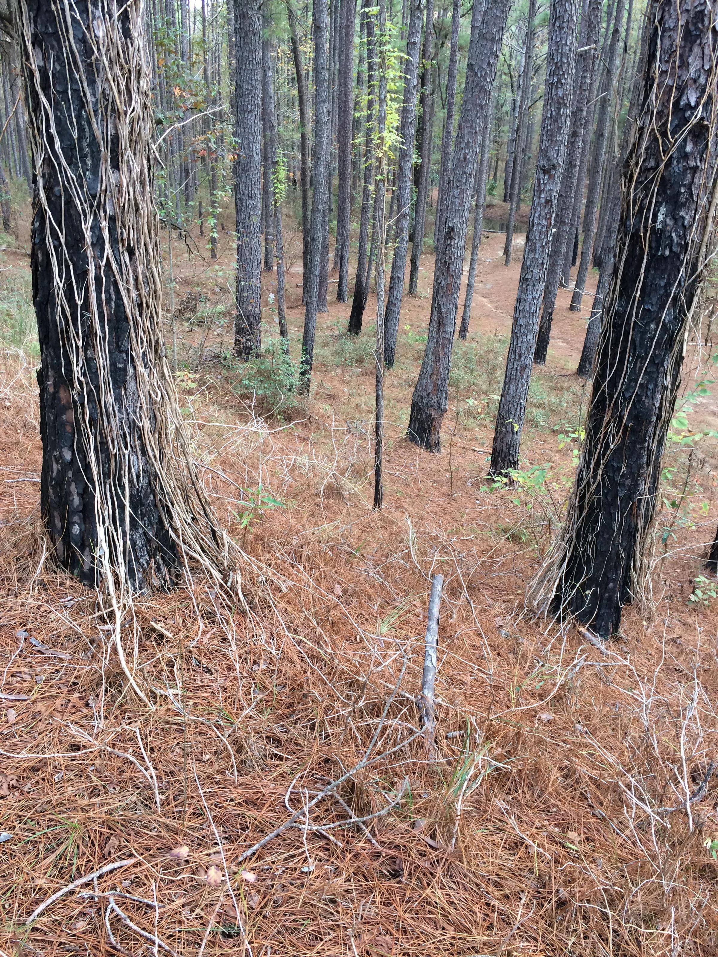
Rifle Range Ruins
Page 1
Name/Title
Rifle Range RuinsEntry/Object ID
2020.4.036Tags
Camp Claiborne, Camp Claiborne Ruins, Library, Photo, Public, WWII, World War IIDescription
the remains of the rifle range at Camp Claiborne; the target bunker; bunker backside wall; the range bermPhotograph Details
Type of Photograph
DigitalSubject Place
Historic Site
Historic Camp ClaiborneCity
Forest HillState/Province
LouisianaContinent
North AmericaCollection
Rhodes Brothers CollectionsAcquisition
Accession
2020.4Source or Donor
Douglas J. RhodesCredit Line
*title of entry*, Rhodes Brothers Collection, *Accession Number*, *Exhibit Title (if it's being displayed)*, Southern Forest Heritage Museum, Long Leaf, LA.Made/Created
Artist Information
Artist
Douglas J. RhodesRole
PhotographerDate made
Dec 2, 2015Time Period
20th Century, 21st CenturyPlace
City
Forest HillState/Province
LouisianaContinent
North AmericaOther Names and Numbers
Other Names
Rifle range target bunker
Rifle Range
rifle range berm
rifle range berm 2