Name/Title
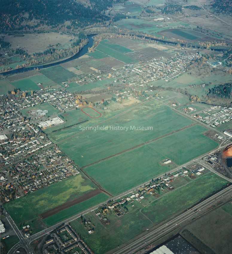
Aerial photograph of North Springfield, Oregon, circa 1985Entry/Object ID
2003.043.004Description
Aerial view of north part of Springfield from Highway 105, Marcola Road, to McKenzie River. Yolanda Elementary school and Briggs Middle School are visible.
Inscription on reverse side: "Pierce property. Dated between 1985 & 1990."Photograph Details
Subject Place
City
SpringfieldCounty
Lane CountyState/Province
OregonCountry
United States of AmericaContinent
North AmericaCollection
Denning CollectionAcquisition
Accession
2003.043Source or Donor
Denning, BonnieAcquisition Method
GiftDimensions
Height
8-1/2 inWidth
9-1/4 inCopyright
Type of License
Copyright Not Evaluated, http://rightsstatements.org/vocab/CNE/1.0/Copyright Details
Images on this website are provided by the Springfield History Museum for educational purposes. Researchers assume all responsibility for copyright questions. For inquiries, please contact springfieldmuseum@springfield-or.gov, or use the Image Request Link.