Name/Title
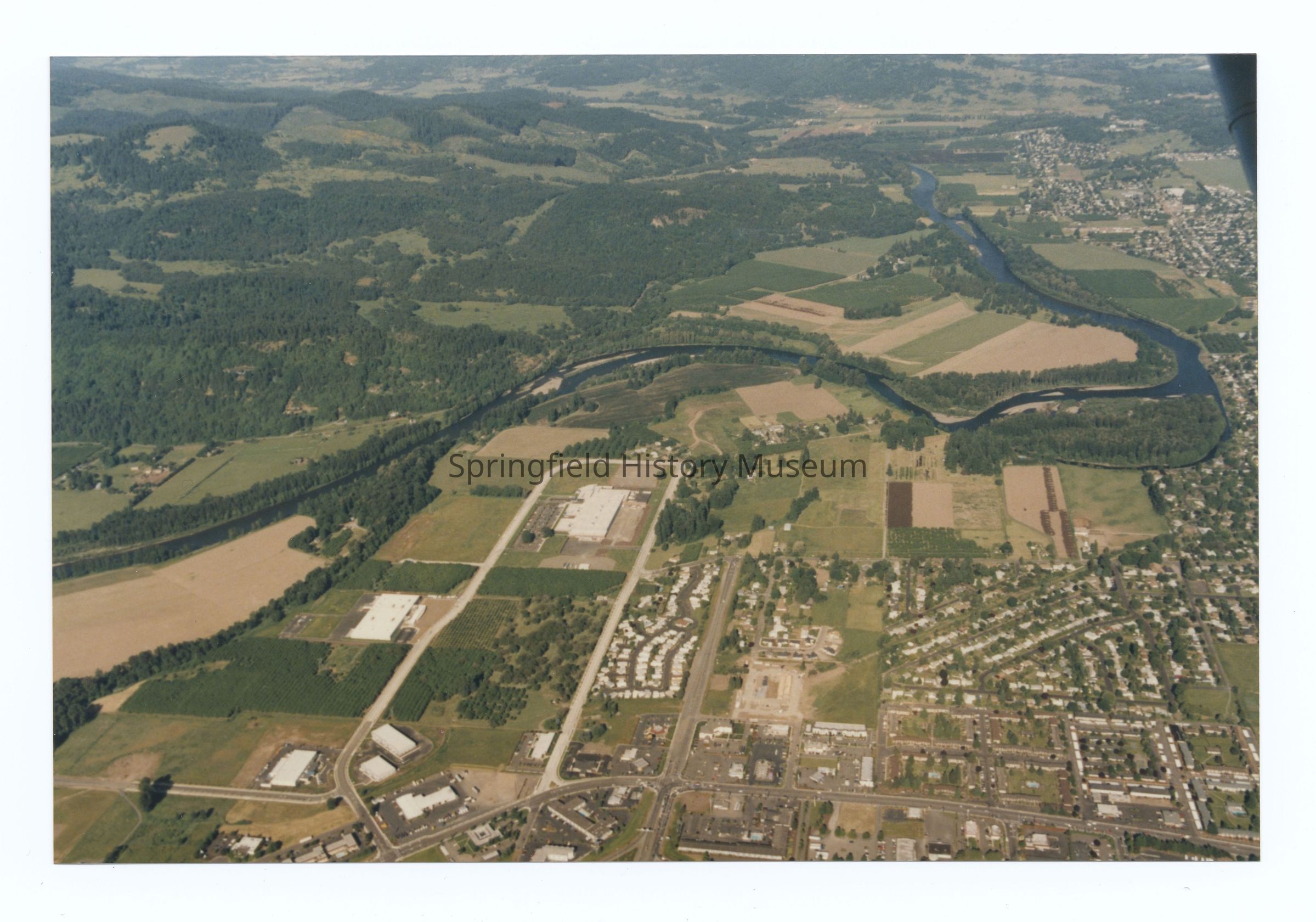
Aerial photograph of Gateway area, West to East view (Coburg Hills), Springfield, circa 1980Entry/Object ID
2021.005.432Description
Aerial photograph of Gateway area, West to East view, Springfield, undated, circa 1980. Shows hospital, International Way, larger surrounding area, and area across the McKenzie river to the Northeast (Coburg Hills).Photograph Details
Subject Place
City
Springfield, CoburgCounty
Lane CountyState/Province
OregonCountry
United States of AmericaContinent
North AmericaRiver
McKenzie RiverLocation
Coburg HillsCollection
Aerial Photography, Springfield Area Chamber of Commerce CollectionAcquisition
Accession
2021.005Source or Donor
Springfield Chamber of CommerceAcquisition Method
DonationRelationships
Related Entries
Notes
Also see 2021.005.419 to 2021.005.443 (same group of aerials)Copyright
Type of License
Copyright Not Evaluated, http://rightsstatements.org/vocab/CNE/1.0/Copyright Details
Images on this website are provided by the Springfield History Museum for educational purposes. Researchers assume all responsibility for copyright questions. For inquiries, please contact springfieldmuseum@springfield-or.gov, or use the Image Request Link.