Name/Title
Upper McKenzie River Basin mapEntry/Object ID
1996.011.001Description
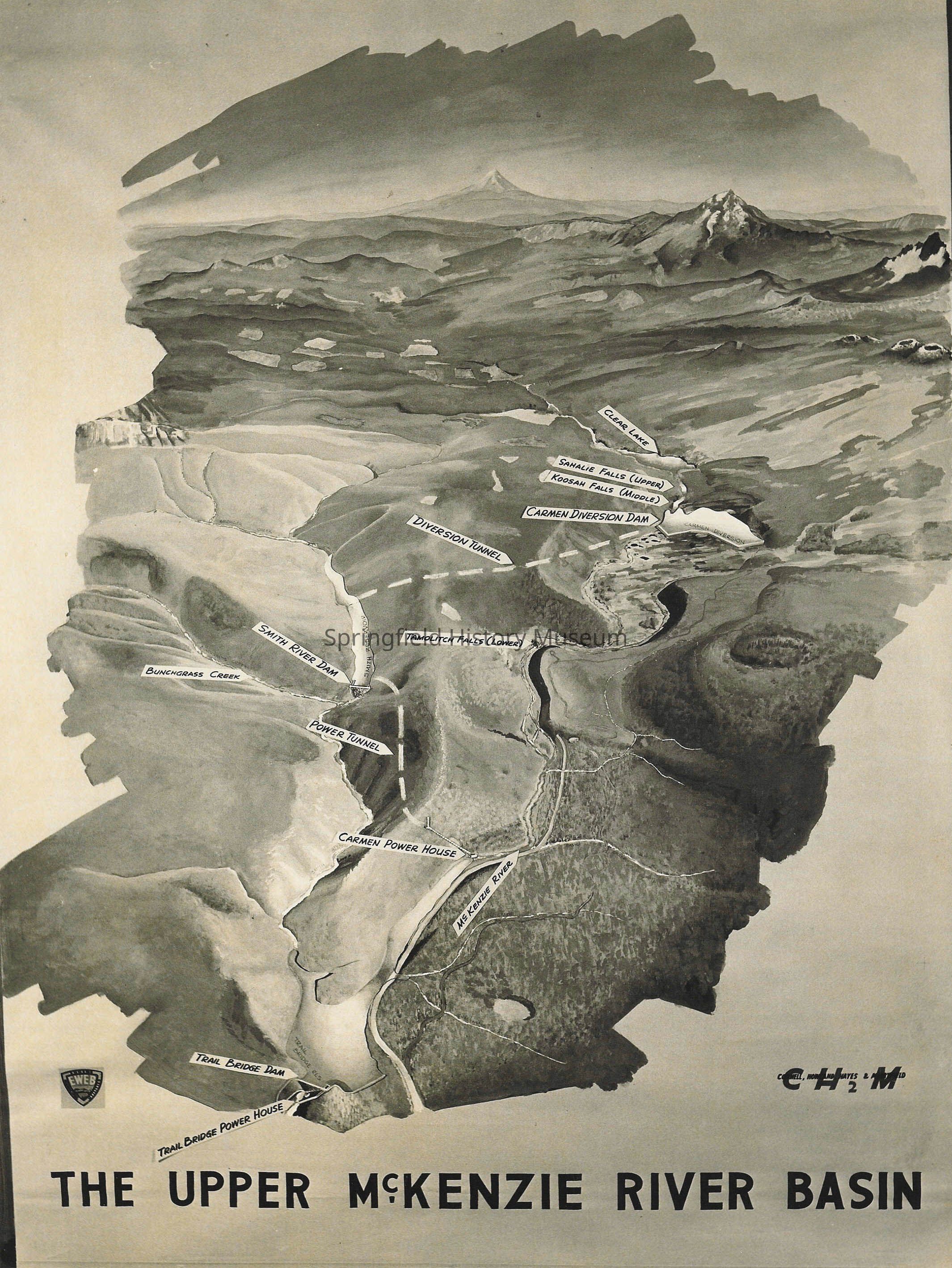
Map of The Upper McKenzie River Basin. Map by CH2M for Eugene Water & Electric Board. Shows dams, power houses, and a tunnel.
Size is about 7.625 x 9.5 inches, black and white, glossy, no negative
Scanned image, 300 ppi, Tif format, on disk Crystal Fogle 11Collection
Fogle Photo CollectionAcquisition
Accession
1996.011Source or Donor
Fogle, Crystal Bryan (Main)Acquisition Method
GiftCopyright
Type of License
Copyright Not Evaluated, http://rightsstatements.org/vocab/CNE/1.0/Copyright Details
Images on this website are provided by the Springfield History Museum for educational purposes. Researchers assume all responsibility for copyright questions. For inquiries, please contact springfieldmuseum@springfield-or.gov, or use the Image Request Link.