Name/Title
Aerial Photograph of Eugene-Springfield, Oregon, Likely Circa 1965Entry/Object ID
2015.001.064Description
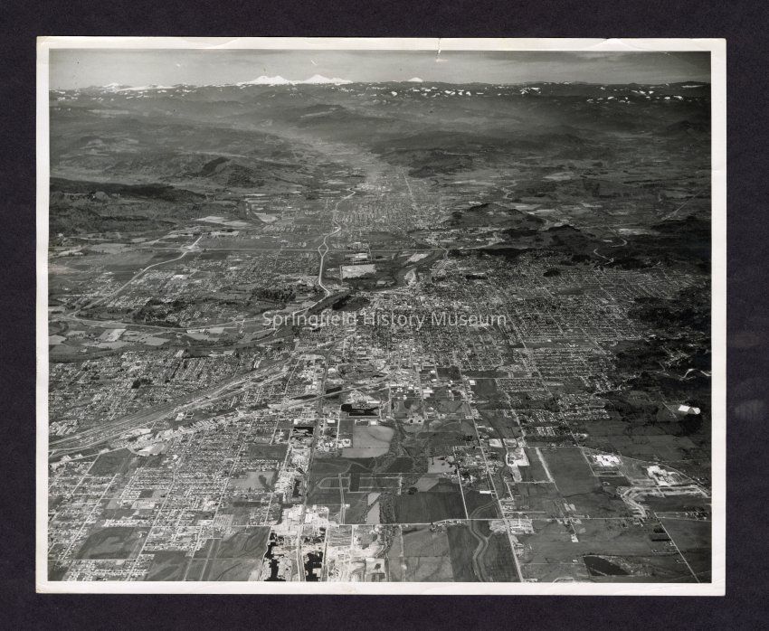
Aerial of Eugene-Springfield region, looking east. West Eugene is in foreground, looking towards the Cascade Range and the McKenzie River Valley. Large roadways visible include Interstate 5 (horizontal near center of photo), Highway 126 (vertical near center of photo), Pacific Highway/Highway 99/Glenwood Boulevard, and Springfield Main Street. Date unknown, but likely after 1964 when Interstate 5 construction started.Collection
Linda LetsterAcquisition
Accession
2015.001Source or Donor
Mary Jo JenkinsAcquisition Method
GiftRelationships
Related Person or Organization
Person or Organization
Briggs, EliasCopyright
Type of License
Copyright Not Evaluated, http://rightsstatements.org/vocab/CNE/1.0/Copyright Details
Images on this website are provided by the Springfield History Museum for educational purposes. Researchers assume all responsibility for copyright questions. For inquiries, please contact springfieldmuseum@springfield-or.gov, or use the Image Request Link.