Name/Title
Photograph Aerial, Springfield and vicinity May 29, 1951.Entry/Object ID
2017.003.130Description
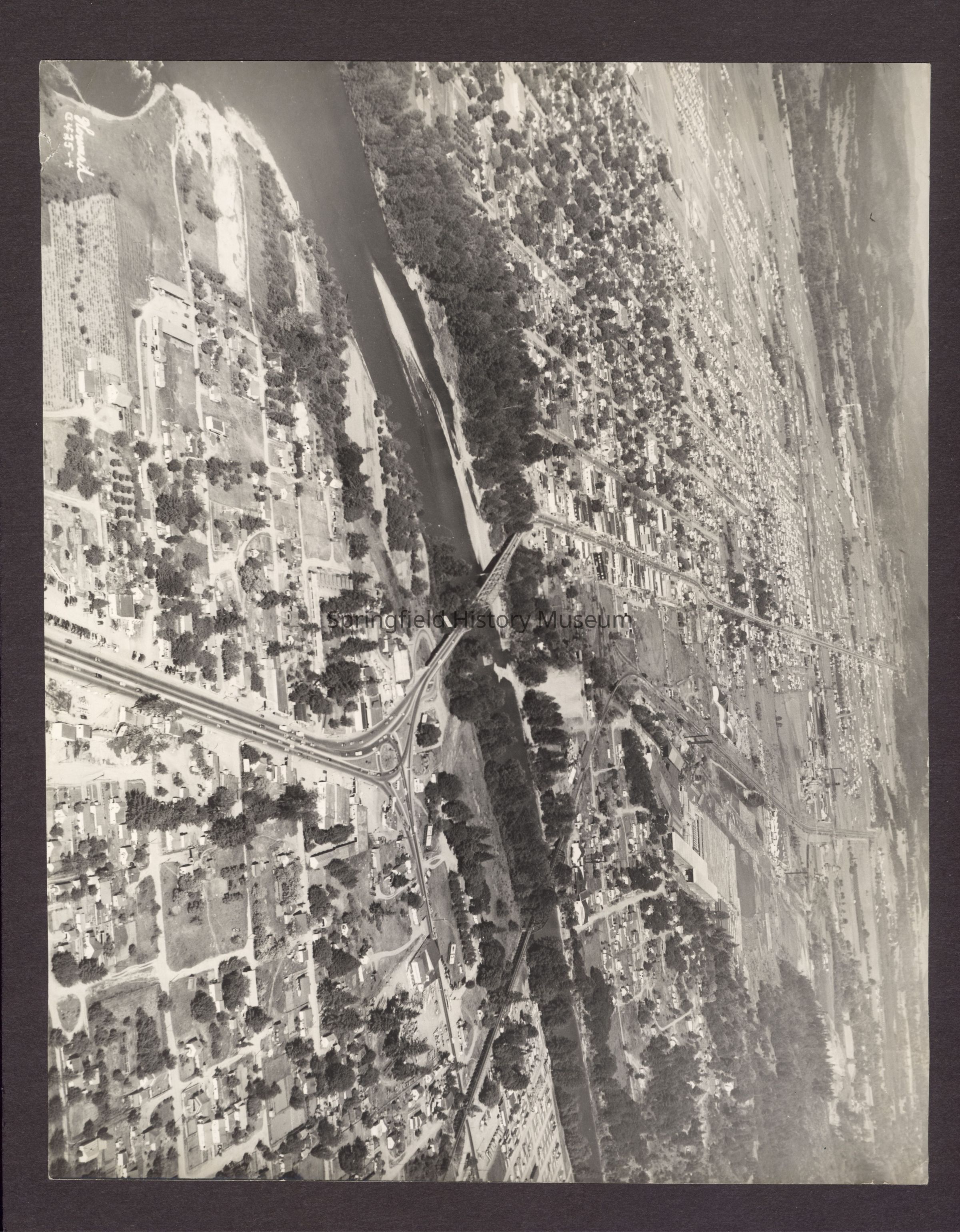
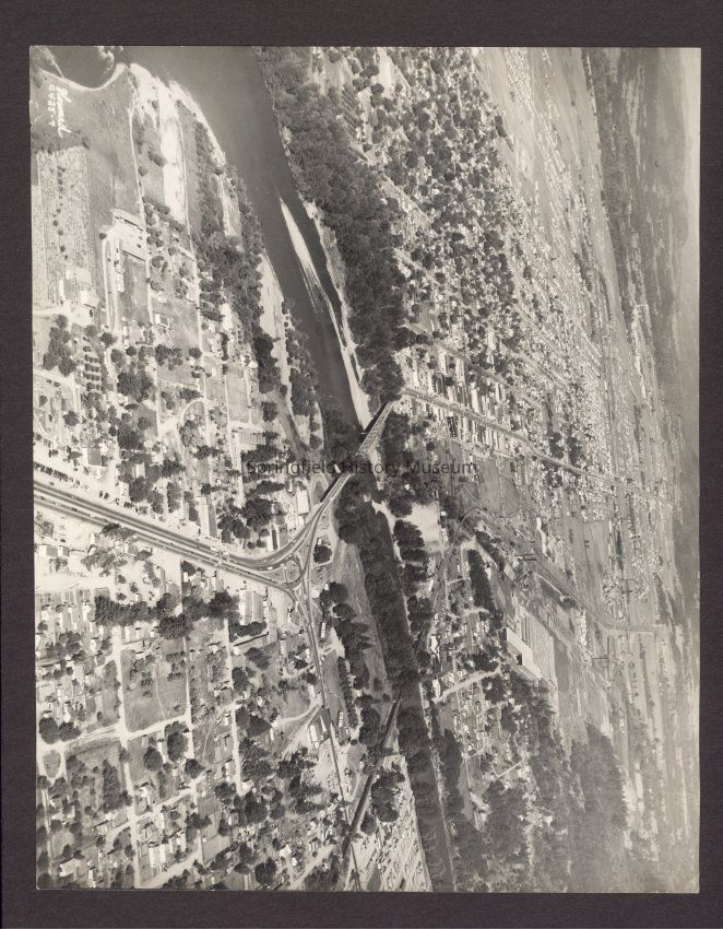
B&W aerial photo Springfield and vicinity May 29, 1951.
A bird's eye view of our city "Springfield, Oregon" before South "A" St. was Built. Pier in center of river marks location of South "A" eastbound bridge.
Photo scanned-stored on HD2.Collection
Crystal B. Fogle Collection, Paula Guthrie-ScottAcquisition
Accession
2017.003Source or Donor
Guthrie-Scott, PaulaAcquisition Method
GiftMade/Created
Studio
Howard PhotographyDate made
1951Place
Location
Howard Photo StudioCity
SpringfieldCounty
Lane CountyState/Province
OregonCountry
United States of AmericaContinent
North AmericaCopyright
Type of License
Copyright Not Evaluated, http://rightsstatements.org/vocab/CNE/1.0/Copyright Details
Images on this website are provided by the Springfield History Museum for educational purposes. Researchers assume all responsibility for copyright questions. For inquiries, please contact springfieldmuseum@springfield-or.gov, or use the Image Request Link.