Name/Title
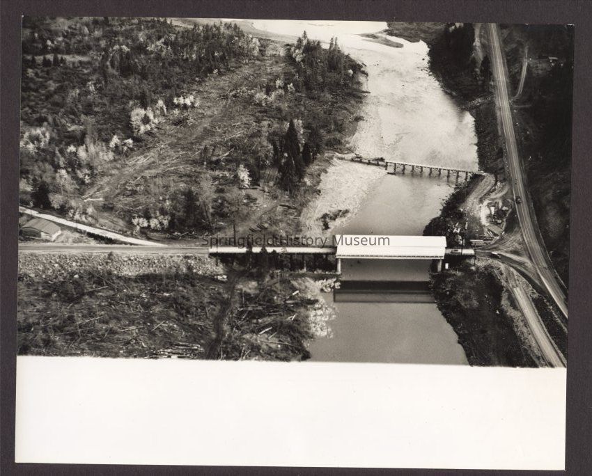
Aerial photograph of Covered bridge, Highway 58, LowellEntry/Object ID
2017.003.662Tags
Multiple photographs (needs review), Redo scanDescription
Three aerial views of covered bridge over Willamette River from Highway 58 to Lowell before construction of Lookout and Dexter dams. Undated. Marked "C687-7". Numbered a, b, and c.Collection
Fogle Photo CollectionCopyright
Type of License
Copyright Not Evaluated, http://rightsstatements.org/vocab/CNE/1.0/Copyright Details
Images on this website are provided by the Springfield History Museum for educational purposes. Researchers assume all responsibility for copyright questions. For inquiries, please contact springfieldmuseum@springfield-or.gov, or use the Image Request Link.