Name/Title
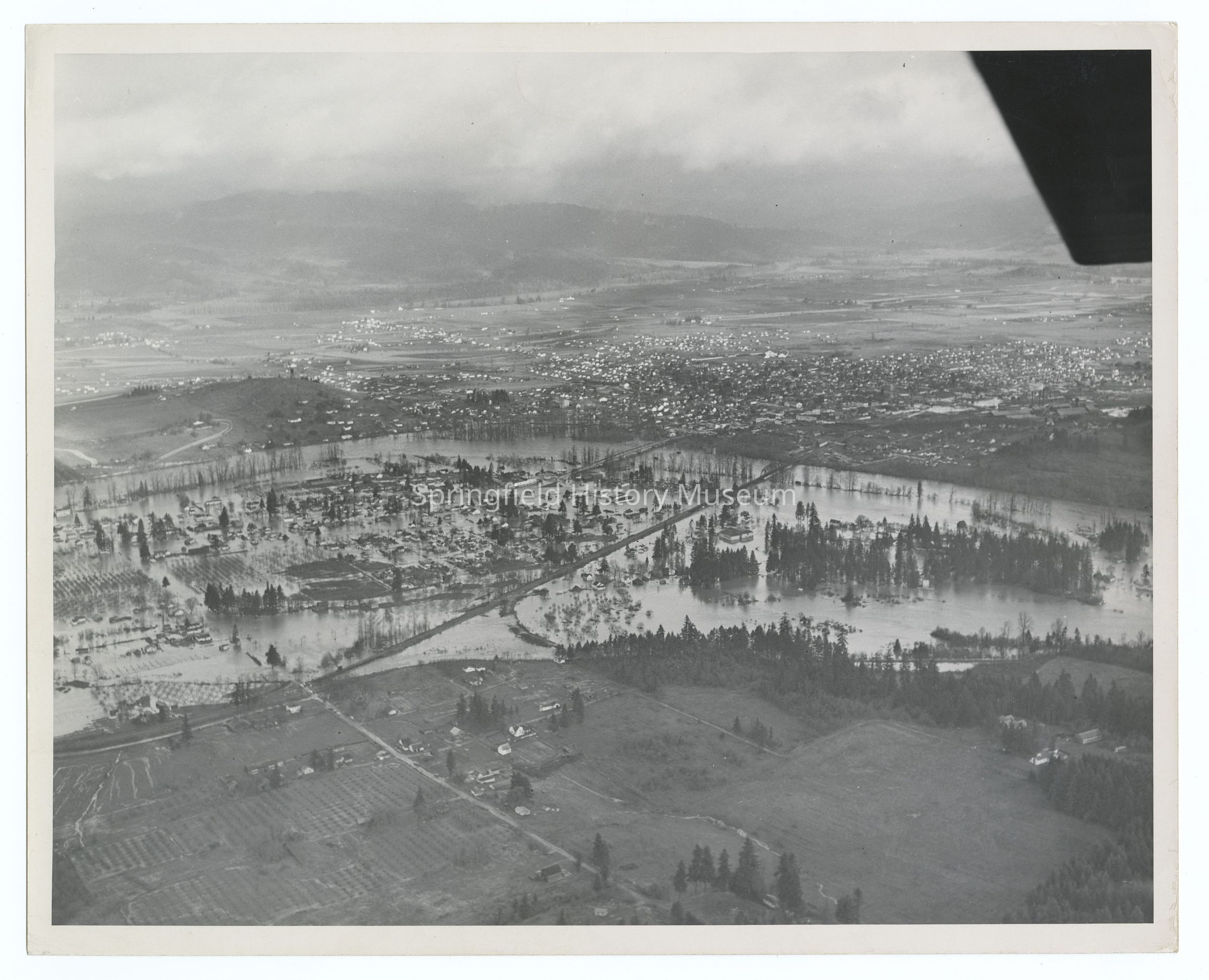
Aerial photograph of flooding at Glenwood, Springfield, 1945Entry/Object ID
2021.005.097Description
Aerial photograph of flooding at Glenwood, Springfield, 1945Photograph Details
Subject Place
City
SpringfieldCounty
Lane CountyState/Province
OregonCountry
United States of AmericaContinent
North AmericaNeighborhood
GlenwoodRiver
Willamette RiverCollection
Aerial Photography, Springfield Area Chamber of Commerce CollectionInscription/Signature/Marks
Transcription
Inscription back: 18Lexicon
Search Terms
Streets, Houses, Landscape, Aerial Photography, FloodCopyright
Type of License
Copyright Not Evaluated, http://rightsstatements.org/vocab/CNE/1.0/Copyright Details
Images on this website are provided by the Springfield History Museum for educational purposes. Researchers assume all responsibility for copyright questions. For inquiries, please contact springfieldmuseum@springfield-or.gov, or use the Image Request Link.