Name/Title
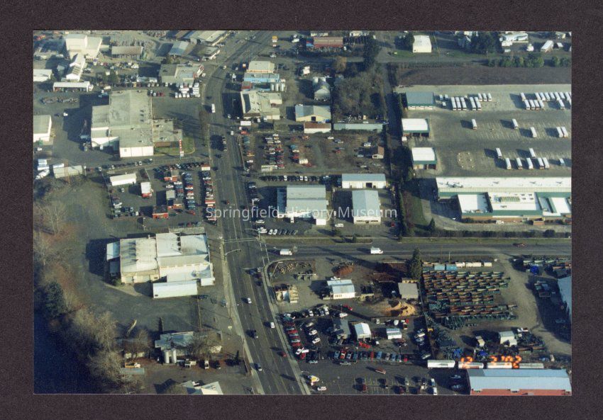
Aerial Photograph of Franklin and Glenwood Blvds, undatedEntry/Object ID
2021.007.087Description
Color photograph, aerial view of Franklin and Glenwood Blvds with LTD facility in upper right, Intercity in upper left corner.Collection
Steve Moe CollectionMade/Created
Date made
2002Place
Neighborhood
GlenwoodCity
SpringfieldCounty
Lane CountyState/Province
OregonCountry
United States of AmericaContinent
North AmericaCopyright
Type of License
Copyright Not Evaluated, http://rightsstatements.org/vocab/CNE/1.0/Copyright Details
Images on this website are provided by the Springfield History Museum for educational purposes. Researchers assume all responsibility for copyright questions. For inquiries, please contact springfieldmuseum@springfield-or.gov, or use the Image Request Link.