Name/Title
Aerial photograph of International Way and McKenzie River area, Springfield, circa 1980Entry/Object ID
2021.005.426Description
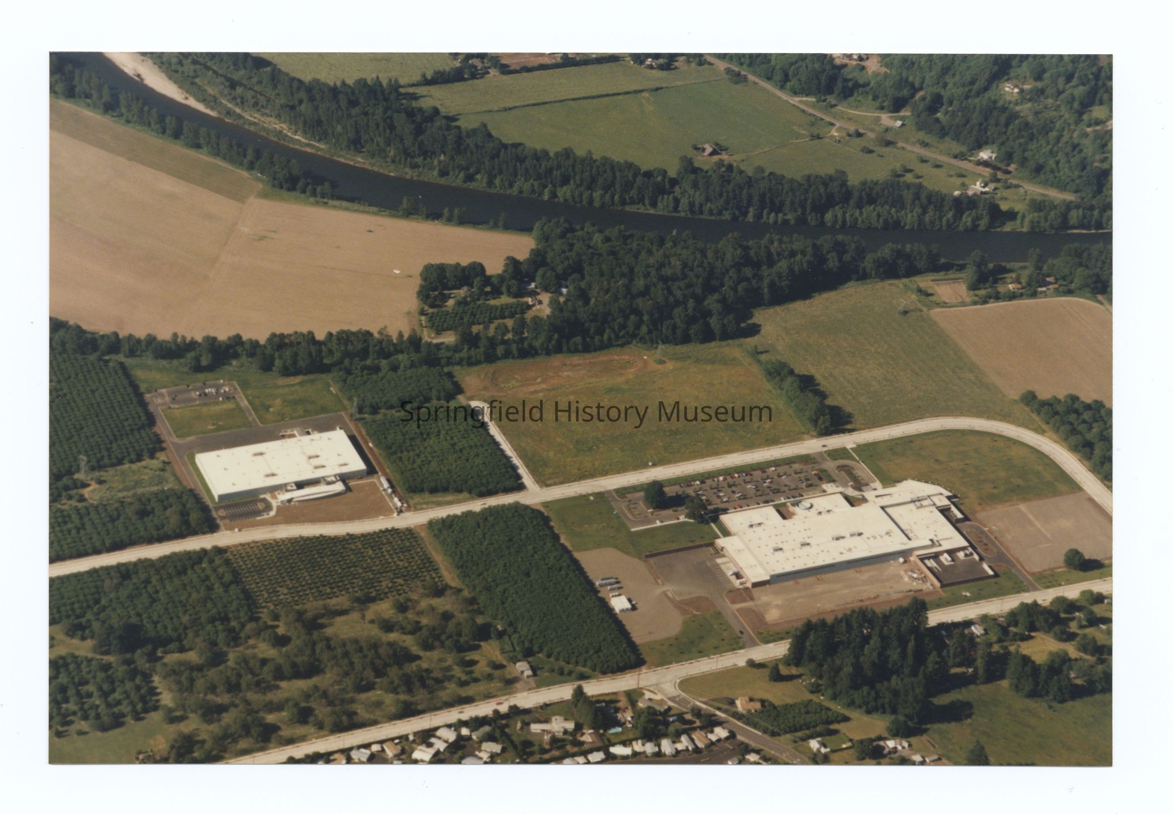
Aerial photograph of nternational Way and McKenzie River area, Springfield, undated, circa 1980. Shows hospital, larger surrounding area, I-5 Highway Interchange and area across the Mckenzie River.Photograph Details
Subject Place
City
SpringfieldCounty
Lane CountyState/Province
OregonCountry
United States of AmericaContinent
North AmericaCollection
Aerial Photography, Springfield Area Chamber of Commerce CollectionLexicon
Search Terms
Gateway area, McKenzie River, International Way, Hospital, Highway Interchange, Interstate 5Parts
3 photographs (two near identical copies: useful for further research of the area (not digitized))Relationships
Related Entries
Notes
Also see 2021.005.419 to 2021.005.443 (same group of aerials)Copyright
Type of License
Copyright Not Evaluated, http://rightsstatements.org/vocab/CNE/1.0/Copyright Details
Images on this website are provided by the Springfield History Museum for educational purposes. Researchers assume all responsibility for copyright questions. For inquiries, please contact springfieldmuseum@springfield-or.gov, or use the Image Request Link.