Name/Title
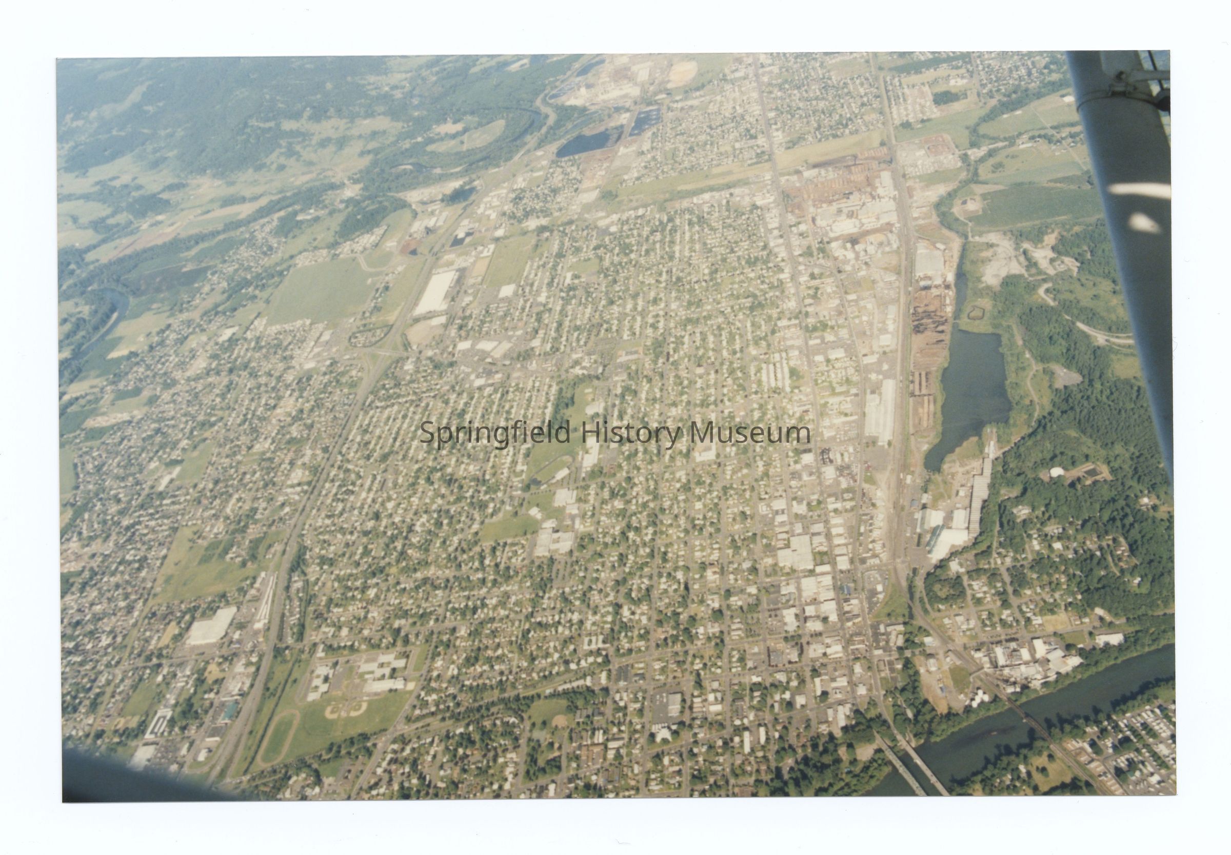
Aerial photograph of Springfield, view from West to East, circa 1980Entry/Object ID
2021.005.438Description
Aerial photograph of Springfield, view from West (Willamette River) to East, undated, circa 1980.
Booth-Kelly site on the right (South), OR-126 and McKenzie River to the left (North)Photograph Details
Subject Place
City
SpringfieldCounty
Lane CountyState/Province
OregonCountry
United States of AmericaContinent
North AmericaRiver
Willamette River, McKenzie RiverCollection
Aerial Photography, Springfield Area Chamber of Commerce CollectionLexicon
Search Terms
Willamette River, McKenzie River, OR-126, Main Street Bridge, Booth-KellyRelationships
Related Entries
Notes
Also see 2021.005.419 to 2021.005.443 (same group of aerials)Copyright
Type of License
Copyright Not Evaluated, http://rightsstatements.org/vocab/CNE/1.0/Copyright Details
Images on this website are provided by the Springfield History Museum for educational purposes. Researchers assume all responsibility for copyright questions. For inquiries, please contact springfieldmuseum@springfield-or.gov, or use the Image Request Link.