Name/Title
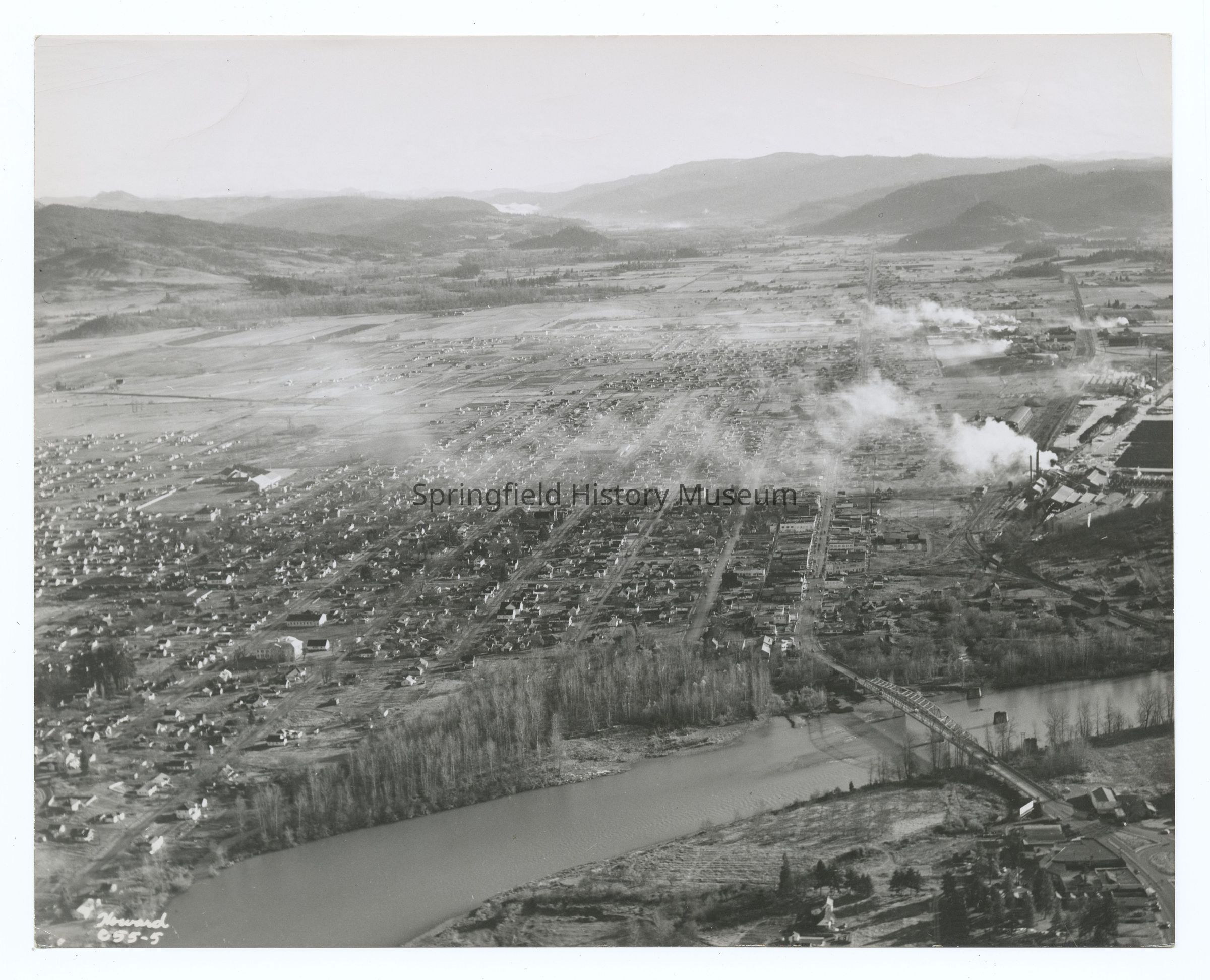
Aerial photograph of Springfield, West to East view, circa 1946Entry/Object ID
2021.005.092Description
Aerial photograph of Springfield, West to East view, Oregon, undated, circa 1946.Photograph Details
Subject Place
City
SpringfieldCounty
Lane CountyState/Province
OregonCountry
United States of AmericaContinent
North AmericaRiver
Willamette RiverCollection
Howard Photography Collection, Springfield Area Chamber of Commerce Collection, Aerial PhotographyInscription/Signature/Marks
Transcription
Inscription front: Howard c55-5Lexicon
Search Terms
Streets, Houses, Landscape, Aerial Photography, Urban planning, Lumber/timber/loggingCopyright
Type of License
Copyright Not Evaluated, http://rightsstatements.org/vocab/CNE/1.0/Copyright Holder
Howard PhotographyCopyright Details
Images on this website are provided by the Springfield History Museum for educational purposes. Researchers assume all responsibility for copyright questions. For inquiries, please contact springfieldmuseum@springfield-or.gov, or use the Image Request Link.